Courtesy Bram Towbin
A large brook runs through the town of Plainfield, Vermont, and eventually joins with the Winooski River. This brook, known as Great Brook, has caused the town many problems over the years, including flash floods that threaten the lives and the property of the people who live in Plainfield.
“When the water comes in it can be ferocious and it causes a huge amount of instability along the banks,” said Bram Towbin, Chair of the Plainfield Selectboard. “If you drive along it you can see huge pieces of erosion and trees literally falling like conveyor belts into the brook.”
While there are two bridges over the brook today, the solid cement structures were built in the 1920s and aren’t very effective. During storm events, trees often jam up under the bridges, which leads to flooding in the town, even sometimes taking out houses. The town either needs a new bridge or to expand what they already have—and that’s why Towbin reached out to Jarlath O’Neil-Dunne and his team at the University of Vermont’s Spatial Analysis Lab for help.
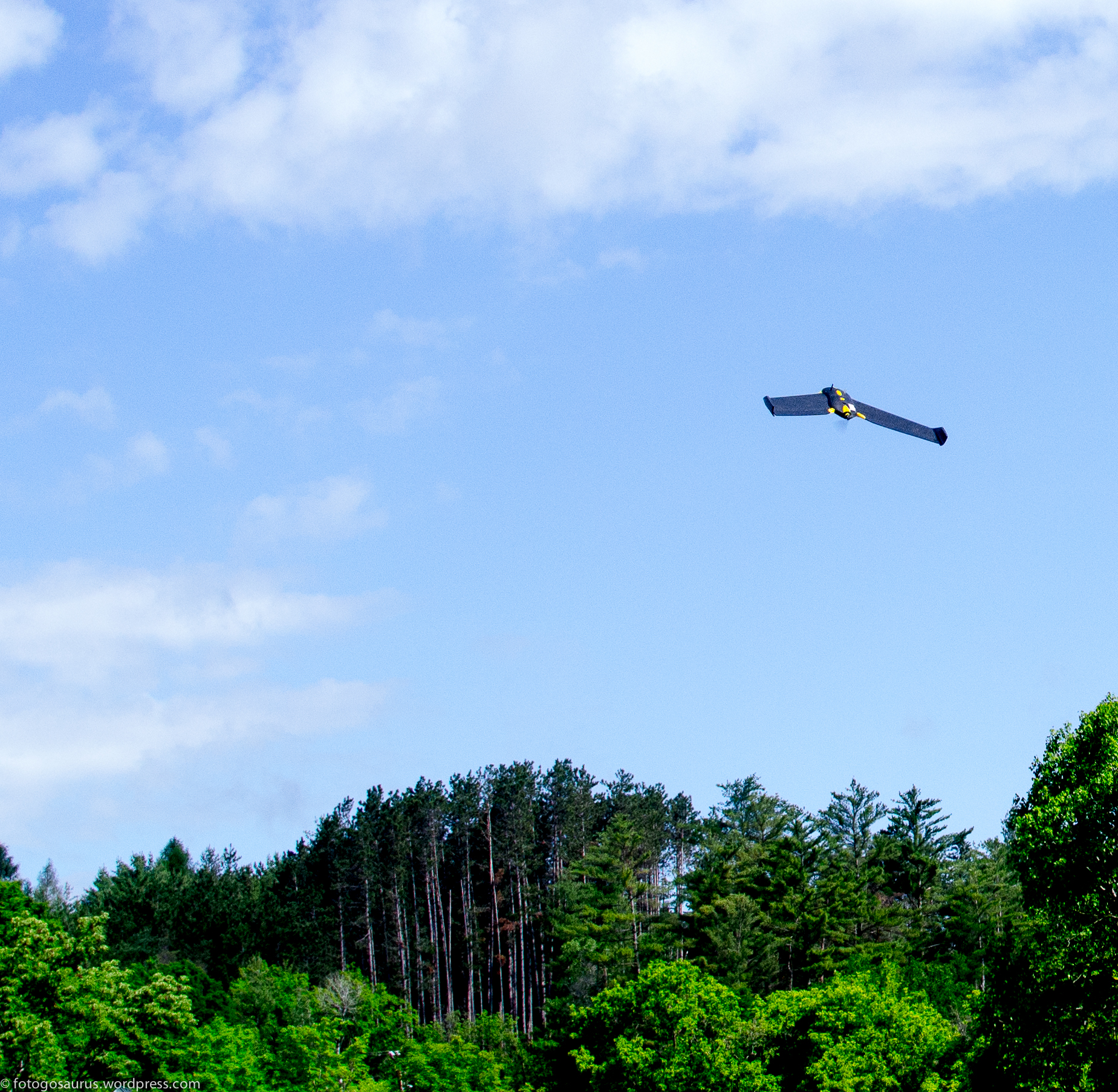
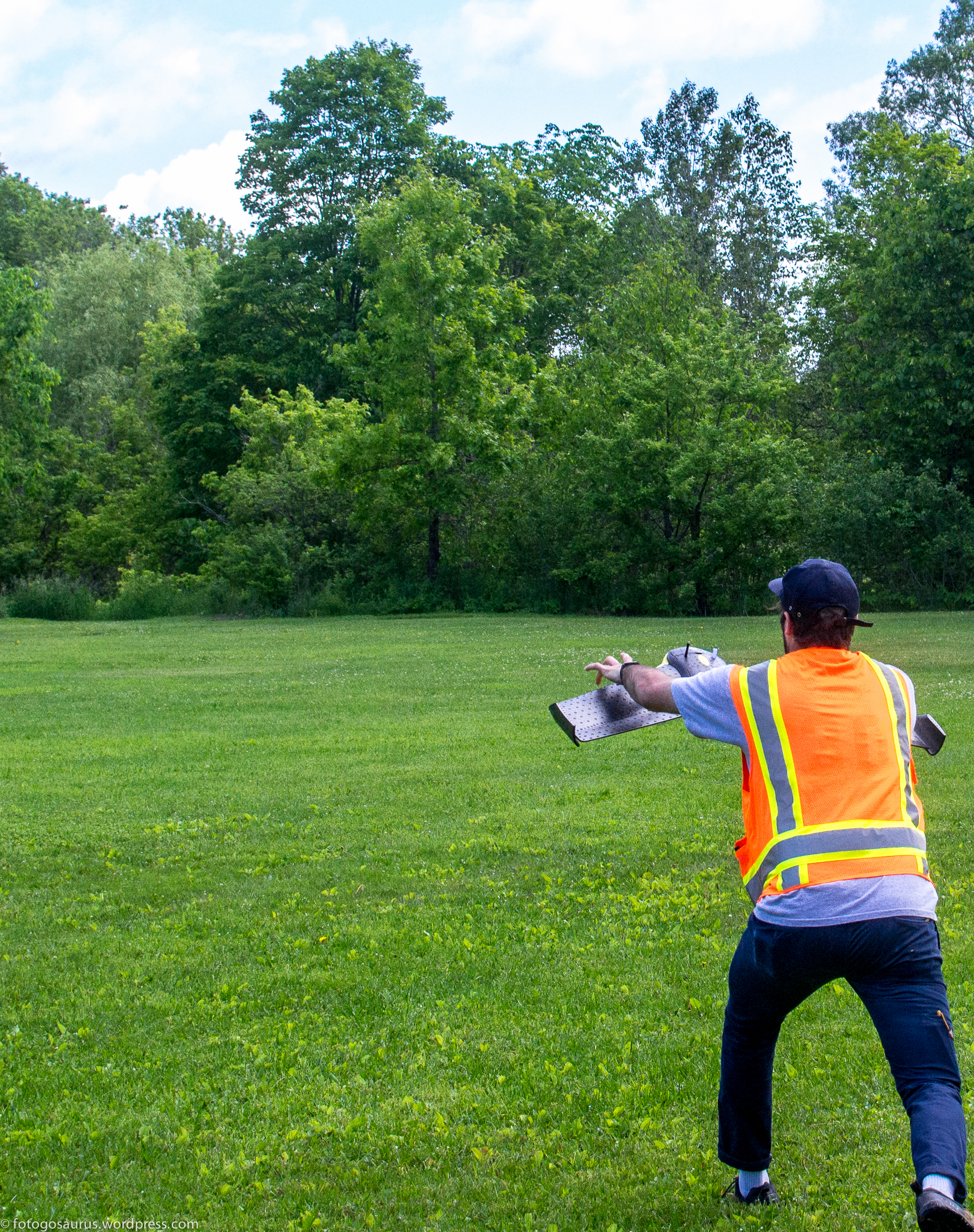
He’d heard about their work with the Sensfly eBee unmanned aerial system and thought the type of data it could gather would help them not only understand more about the brook, but also design a better bridge that would prevent flooding in the town.
This is a hot button issue in Plainfield and everyone seems to have an opinion about how to fix the bridge and stop the flooding, Towbin said. He knew data from the UAS would give them concrete information and help guide their next steps, and make town members feel more confident in any decisions officials make about the bridges.
“This is a very powerful information gathering tool,” said Towbin, who is also the Road Commissioner and a member of the Plainfield Flood Advisory Committee. “It has the ability to objectively look at the situation. This isn’t merely an anecdote or one person who has a house on the brook saying this or that should be done. This is a way to look objectively at the situation and determine how to approach the problem.”
Courtesy Bram Towbin
The flights
O’Neil-Dunne and his team have flown over the brook several times in the last year, delivering information the town and engineers never had access to before. George Springston, Research Associate for the Department of Earth and Environmental Sciences at Norwich University, who first began studying Great Brook in 1997, typically went to the brook on foot to gather information.
Springston and his team studied its hydrology and how much rain it takes to make it flood. They also looked at the geology to understand what the brook is flowing through and how erodible it is.
Over the years, Springston also has had aerial photos captured, and even went so far as to take images from a manned helicopter himself to save the expense of hiring someone else to do it. But these were typically one-time events, so there was no opportunity for repeat coverage.
“Prior to these flights we had good spot knowledge of what the woody debris and the stream looked like,” Springston said. “But having this improved and repeat photography and the elevation data and having it all in a digital form has really opened up a new world for us. For the first time we can quantify the sizes of the pieces of wood and where they are and whether or not they stay in place after storm events. That influences how the bridge is going to be designed so it’s less likely to jam and lead to flooding in the village.”
Data from the UAS revealed more than 300 piles of trees—more than Springston ever thought, even after nearly 20 years of studying the brook. This is information they never would have had without the UAS flights, and is key to determining the new bridge design.
“The Great Brook stream bed changes dramatically after storm events. You’d be flabbergasted by the degree in which things can shift,” Towbin said. “Now we can see exactly how many debris piles we have, the size of those debris piles and how the debris piles react during events.”
Designing the bridge
After the UAS gathered the data, the engineering firm Milone & MacBroom created a typography map that they used to partially build a model, said Roy Schiff, Water Resource Scientist and Engineer for Milone & MacBroom Vermont.
They were able to gather that data quickly and cost effectively—one of the biggest benefits to using UAS for this type of application. But some of the best data came from flights that captured images before and then after a significant flood last July.
“The bridges are undersized and in a village setting. Landslides happen in the watershed so you get lots of trees moving,” Schiff said. “Now we have high resolution images pre and post flood. Before the flood you could count how many logs were in an area. After the flood you could see there are 15 logs wedged under the bridge. The UAS can show you big piles that are gone and also the ones that stayed in place. It really gave us comprehensive data on how wood transport is taking place.”
Schiff and his team are working on the preferred alternative project design, he said, and should have something for officials and the town to review soon.
Once the design is finalized, the town will start soliciting funds for the bridge, Towbin said.
For now, it looks like the most cost effective way to reduce the problems the brook creates is to modify one of the existing bridges. There’s still a long way to go, but data from the UAS has given the town and the engineers the information they need to make improvements and reduce the likelihood of flash flooding.
“With this data we can tell people this is the reason for the size of the bridge,” Towbin said. “It becomes a more fact-based discussion. In that respect it’s a wonderful tool. We still don’t have all the answers yet and there’s still going to be some difficult discussions, but the bottom line is this is a real breakthrough tool. Even if you had an army of people you wouldn’t be able to manually catalogue those piles and what’s going on in the brook.”