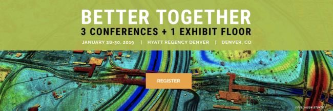
The organizers of International LiDAR Mapping Forum, a leading technical conference and expo that showcases the latest airborne, terrestrial and underwater LiDAR and emerging remote sensing and data collection tools and technologies, has announced its lineup of keynote speakers for its 2019 program. The 2019 ILMF keynotes are Paul Doherty, CEO & Chairman of The Digit Group; Dr. Thomas Garrison, Maya Archaeologist, and Assistant Professor in the Department of Anthropology at Ithaca College; Jim Reilly, Director at USGS; Kevin T. Gallagher, Associate Director for Core Science Systems at USGS; and Scott B. Luthcke, Chief, Geodesy and Geophysics Laboratory at NASA Goddard Space Flight Center. The event will take place from January 28-30 in Denver, Colorado as part of Geo Week.
“We are thrilled that these five engaging keynote speakers have agreed to present at ILMF 2019,” says Lisa Murray, Group Director, Diversified Communications. “They represent the incredible range and importance of remote sensing technologies today. We’ll hear about using LiDAR to discover ancient civilizations as well as to build smart cities of the future. Attendees will not want to miss these fascinating use cases.”
After opening remarks on Tuesday, January 29th, Doherty, CEO & Chairman of The Digit Group, will be welcomed to the stage to deliver the event’s first keynote. His presentation, titled Moving from Static Data to Kinetic Data: Lidar’s Growth in the Age of Smart Cities, will explore the enormous growth and use of LiDAR in the context of smart cities including real-world implementations from China, the Middle East, and the United States.
Following the opening keynote will be Dr. Garrison, Maya Archaeologist, and Assistant Professor in the Department of Anthropology at Ithaca College. His presentation You Say You Want a Revolution: Lidar as a Paradigm Shifter in Maya Archaeology will explore why the LiDAR revolution in the Maya area captures the public’s imagination and what its real impact has been on our understanding of the ancient Maya.
Wednesday, January 30th, the final day of the event, will kick off with a keynote presentation from the United States Geological Survey. Renowned geoscience leaders Reilly, Director at USGS, and Gallagher, Associate Director for Core Science Systems at USGS, will deliver their joint presentation The 3D Elevation Program (3DEP): The Map Half Full. Attendees will hear an update on the status of the 3D Elevation Program (3DEP) including its successes and challenges.
Next, Luthcke, Chief, Geodesy and Geophysics Laboratory at NASA Goddard Space Flight Center, will wrap up the keynotes with his presentation Ushering in a New Era of Spaceborne Laser Altimetry and Its Dependence on Satellite Geodesy. This talk will give an overview of ICESat-2 and GEDI early orbit performance, and will specifically focus on the dependence and importance of satellite geodesy in meeting the mission requirements.
“This year’s ILMF program achieves a rare harmony by being both accessible to new geospatial professionals and fresh and interesting to long-time ILMF attendees” comments Bill Emison, Conference Chair, International LiDAR Mapping Forum. Emison continues, “There are a ton of very interesting new technologies included such as advanced sensor technologies and vehicle autonomy.”
The ILMF 2019 full conference program has nearly 50 technical sessions providing attendees with a plethora of educational opportunities.
Registration for 2019 International LiDAR Mapping Forum is now open. Event organizers recommend registering early for the best price and to avoid lines onsite. To register, please visit: https://xpressreg.net/register/ilmf0119/landing.asp?sc=207188
About Geo Week
Geo Week is a multi-event collaboration including participation from MAPPS Winter Conference, International LiDAR Mapping Forum, and ASPRS Annual Conference to accomplish a year of geospatial business in just one week.
Each of the three events will retain the distinct educational programs their respective attendees have come to rely upon for industry news and information as well as career development. Various conference pass options are available to allow attendees to take part in any or all programming and activities. For more information regarding Geo Week, please visit www.lidarmap.org/geoweek.