A new detect-and-avoid radar technology for small unmanned aircraft systems (UAS) was successfully tested earlier this month in Texas.
The Lone Star UAS Center of Excellence and Innovation at Texas A&M University-Corpus Christi (LSUASC) worked with AirRobot and Echodyne to successfully fly three drones in the same airspace over a simulated “capsized boat” in the Laguna Madre, according to a news release. This marked the first time a small UAS on-board radar successfully detected boat traffic in a major waterway along with small UAS traffic flying in the area.
The tests were completed at The Charles R. Johnson Airport in Port Mansfield, Texas. The flights were among those that took place across the nation over the last month that involved NASA, the Federal Aviation Administration (FAA) and the test sites.
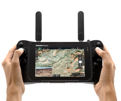
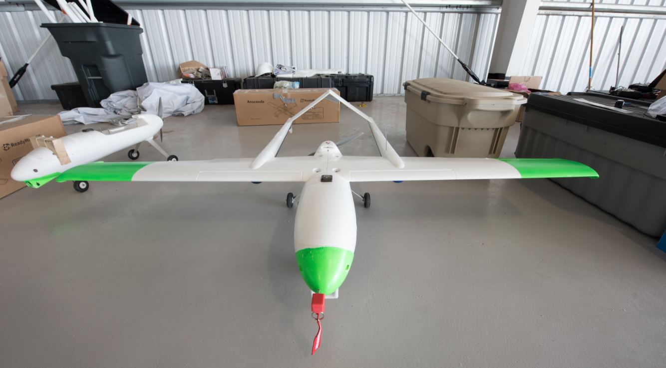
During the Texas flights, An AR 180, provided by AirRobot, was equipped with the new MESA-DAA airborne sense-and-avoid radar. Echodyne created the radar for the flights, which is designed to enable beyond visual line-of-sight (BVLOS) operations for a variety of applications, including package delivery, infrastructure inspection and public safety.
“Echodyne’s airborne detect-and-avoid radar is made especially for small to medium UAS and enables safe beyond visual-line-of-site operations – in all environments and conditions,” said Jerry Hendrix, Executive Director for the LSUASC, according to the release. “Before the MESA-DAA became commercially available, there were no options for long-range radar on small to medium commercial drones.”
The flights also provided NASA with data to help improve BVLOS technology and first-responder priority operations.
“Radar is an ideal sensor technology for all sorts of scanning and imaging applications, especially when environmental conditions are less than ideal,” said Thomas Driscoll, Chief Technology Officer for Echodyne, according to the release. “Our radar thrives over other sensors in unpredictable weather conditions, can rapidly scan a broad field of view, can track Cessna-sized targets at distances greater than two kilometers, and dramatically increases situational awareness for UAS operators.”
The need for new rules and regulations in low-altitude airspace led to the creation of the Unmanned Aircraft System Traffic Management Plan (UTM), which consists of a series of activities called “Technology Capability Levels (TCL).” Each level increases in complexity.
Testing the new radar was part of NASA’s TCL 2, a national campaign focusing on flying small, remotely-operated aircraft BVLOS in sparsely populated areas to demonstrate, evaluate, and refine functional designs and UTM technology prototypes.
The next step, or TCL 3, will focus on testing technologies that maintain safe spacing between responsive and non-responsive UAS over moderately populated areas.