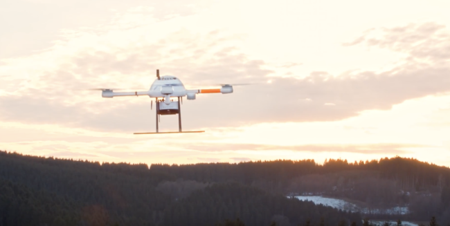
Microdrones has made it easy to learn all about the benefits and solutions provided by the mdMapper1000, the mdMapper1000DG and the mdLiDAR1000 through a series of new product demonstration videos available on YouTube.
All three videos showcase the unique capabilities of each professional drone mapping package offered by Microdrones.
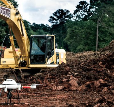
The video for the mdMapper1000 explains how the company integrates the latest technology with its drone to create a customized aerial surveying and mapping solution for construction, agriculture, mining, and inspection. Dr. Mohamed Mostafa, director of mdSolutions explains, “We’re not just a drone provider. We’re not just a systems integrator. We’re all of the above, including an end to end workflow.” The video shows the drone in action, takes a peek at assembly and also explains the easy, intuitive workflow.
Microdrones mdMapper1000DG Video
The next video demonstrates how the Microdrones mdMapper1000DG achieves high levels of data accuracy without using ground control points. Wolfgang Probst, CEO of Allterra, says, “The mdMapper1000DG improves our work, especially in the amount of time saved, since you don’t need any reference points.” The video also exhibits some of the behind the scenes design, assembly and care the Microdrones team takes when producing an mdMapper1000DG.
The final video highlights the international appeal of Microdrones, as the mdLiDAR1000 soars through the air in Germany, the United States and Canada. Microdrones European Sales Manager, Samuel Flick says, “The mdLiDAR1000 is the most efficient drone in the md4-1000 series. LiDAR stands for light detection and ranging. Therefore, every point you get in the point cloud is a real measurement by light.” Watch as a simulated laser from the drone captures data to be visualized on screen in a 3D point cloud. Dr. Mostafa also explains the high level of accuracy, to within 5 centimeters, that the mdLiDAR1000 consistently delivers around the globe.
By pairing robust drones with cutting-edge sensors, Microdrones offers advanced turn-key solutions that make it easy for businesses to start using UAVs for surveying, mapping, construction, inspection, precision agriculture, mining, and other commercial applications.
For more on the company, read: “Microdrones Expands into Second Facility in Siegen, Germany as Part of Global Growth Project”on the Inside Unmanned Systems website.


