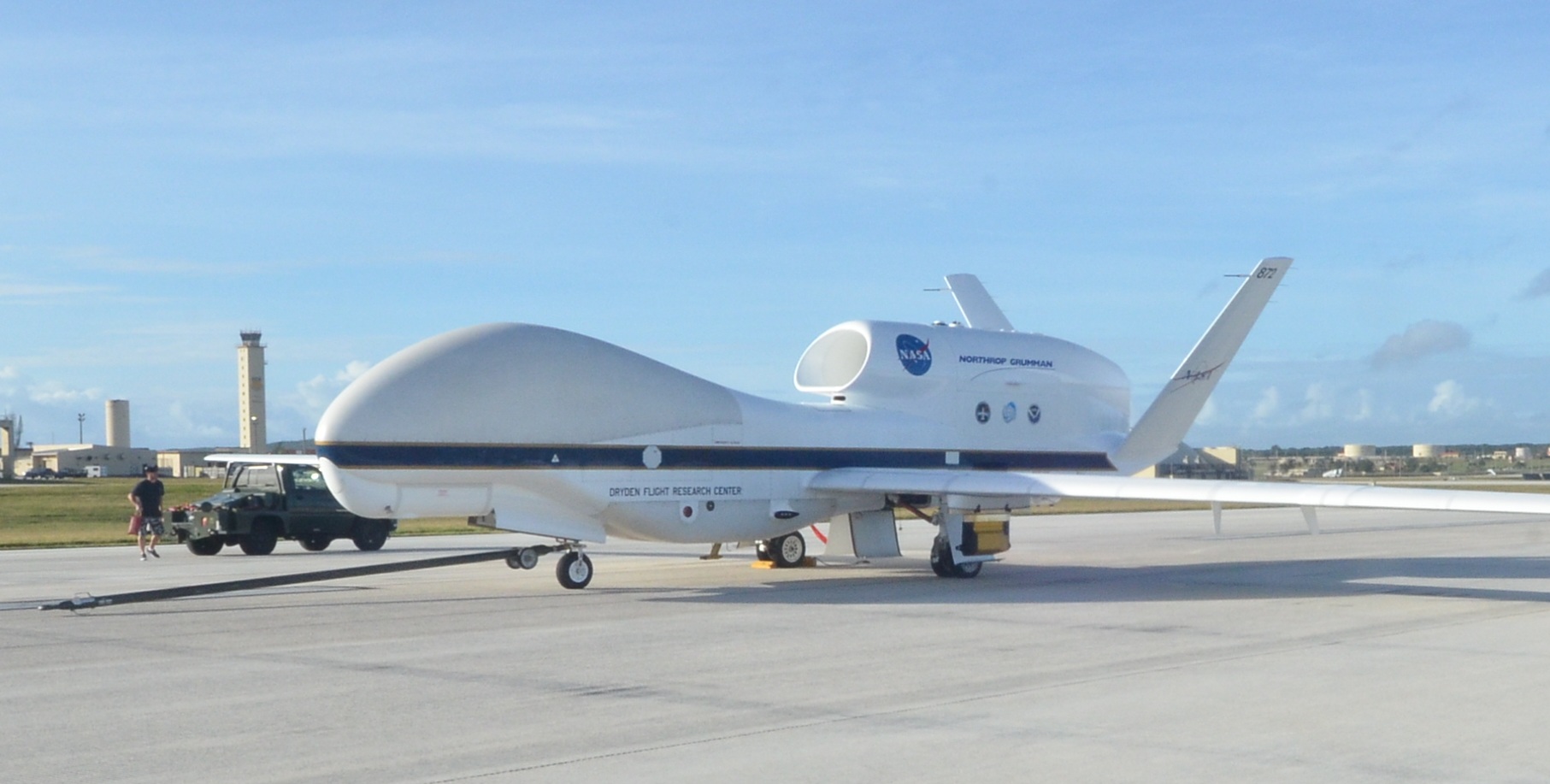
AV-6 in Guam
NASA researchers want to better understand how greenhouse gases effect the Earth’s climate, and over the last five years have used a remotely piloted Global Hawk equipped with science instruments to track the transport of water vapor into the upper atmosphere to gain that understanding.
Through NASA’s Airborne Tropical Tropopause Experiment, or ATTREX, which wrapped up in March, the NASA Global Hawk enabled scientists to study this atmospheric layer from altitudes of 45,000 to 60,000 feet—giving them insight into tropical tropopause layer transport and cloud processes they’ve never had before, said Eric Jensen, the ATTREX principal investigator at NASA’s Ames Research Center.
Understanding these processes is crucial to predicting future climate change, Jensen said. Why? This region serves as the gateway for the transport of water vapor, ozone and other gases into the stratosphere, controlling its composition, and is the transition layer between the troposphere, the lowest part of the atmosphere, and the stratosphere, the layer above it, according to NASA.
“We’ve learned a lot about the clouds in the tropical tropopause layer, understanding how the cirrus ice crystals form and how effectively they remove the water vapor. Often, they don’t completely remove the water vapor, so you get super saturated air bleeding into the stratosphere,” Jensen said, noting the size and shape of the ice crystals determine how fast they fall and remove that vapor. “More water gets through than is assumed in the climate models. What we want to do is improve the global models that are used to predict future climate change.”
This Year’s Mission
Since the project began in 2011, the Global Hawk has completed hundreds of hours of sampling, enabling researchers to collect what Jensen describes as an excellent dataset. This year, the team collaborated with United Kingdom researchers for the first time to execute the Coordinated Airborne Studies in the Tropics (CAST) project, funded by the UK’s Natural Environment Research Council (NERC).
The Global Hawk not only carried a subset of the payload flown in previous ATTREX missions, it also flew two new CAST instruments—the Aerosol Ice Interface Transition Spectrometer (AIITS) and the GreenHouse gas Observations in the Stratosphere and Troposphere (GHOST).
The CAST Instruments
So how exactly did the researchers use these new instruments? AIITS measured the scattering properties of aerosols and cirrus clouds, providing information about particle shape and composition. Combined with the ATTREX Hawkeye cloud particle probe and other water vapor instruments, the data AIITS collected provided valuable information about the formation and impact of extensive, thin cirrus clouds in the region.
During the first flight the AIITS instrument captured scattering images of ice crystals, Jensen said, providing the team with new information about their shape.
The GHOST instrument measured columns of greenhouse gases, including carbon dioxide, methane, carbon monoxide and water. The compact Short-Wave spectrometer provides high spatial-resolution data about the gases as well as validation for the satellite instrument.
Researchers used the GHOST instrument to measure sun glint off the ocean during the second flight, and although constraints such as sun angle and the need for clear sky conditions made this challenging, the instrument worked well and captured a few hours of good data, Jensen said.
“I think we got what we were after. What was really driving this was the United Kingdom CAST program and the two instruments they wanted to test fly on the Global Hawk,” Jensen said. “The goal was to see how the CAST instruments worked and to hopefully use them on future high altitude flights.”
Why Global Hawk
Using NASA’s unmanned Global Hawk gave researchers the ability to reach altitudes and collect “unprecedented data” they’ve never had access to before, Lieutenant Commander and Global Hawk pilot Jon Neuhaus said. Not only that, the Global Hawk gave them the endurance they needed to fly from NASA’s Armstrong Flight Research Center in Edwards, California, to the tropical tropopause layer near the equator, which is an 8,000 mile round trip.
“The value of the Global Hawk is its time on station and the range,” Neuhaus said, noting the missions over the Pacific Ocean were between 20 and 24 hours long. “The Global Hawk can cover an enormous amount of ground and profile the atmosphere at altitudes between 45,000 and 60,000 feet.”
With the Global Hawk, researchers collected a large amount of data from just one flight, Jensen said, all while the team stayed on base in California. If they had used a manned aircraft, not only would they have lost the altitude and the endurance the Global Hawk offers, they would have had to deploy the aircraft along with researchers and equipment to the tropics.
The Future
While it will take time to process and analyze the data, Jensen said the information collected will affect future climate models—including the finding that this atmospheric layer is saturated with ice that doesn’t evaporate right away. Studies show even small changes in the amount of water vapor in the stratosphere can warm the surface temperature by absorbing thermal radiation rising from the surface, according to NASA, contributing to climate change.
“That’s an important finding that needs to be incorporated into climate change models” Jensen said. “We assume vapor excess is immediately removed from the atmosphere by condensation or falling out of the ice crystal. The fact that it doesn’t evaporate right away will affect climate change models and climate predictions in the future.”