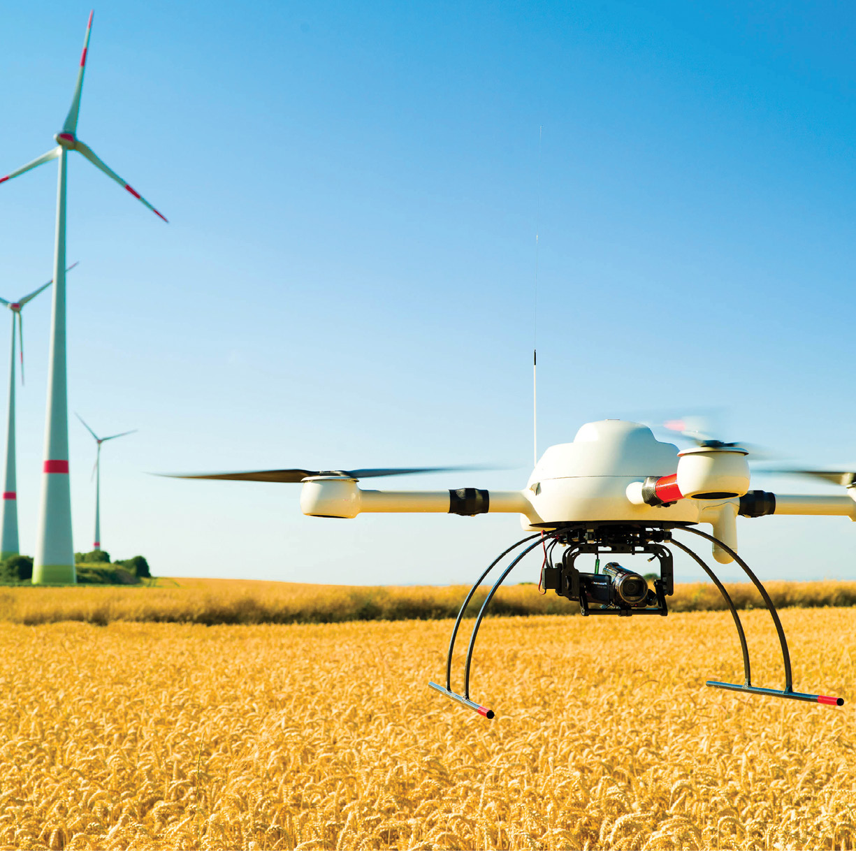
As the unmanned sector evolves and more manufacturers enter the market place, buyers have an increasing array of hardware and software options to consider at various price points.
For professionals looking for an unmanned aircraft system (UAS) to fly surveying and mapping missions, it might seem like a cheaper, more basic system is a good place to start. Recreational and entry-level systems, however, may not have the capabilities needed for these types of applications—even though some manufacturers claim they do. Choosing carefully, keeping clearly in mind the desired results and how those results will be used can save drone operators, and their clients, time and money, experts told Inside Unmanned Systems.
“There’re many factors that come into play,” said Michael Singer, founder and CEO of DroneView Technologies, which provides aerial data acquisition and data processing for surveyors and civil engineers. “Understanding the project parameters will help to dictate what the right tool is that solves for that end result. And that’s an important thing because there’s lots of press that we’ve all read that you can go on Amazon and buy a drone and do surveys tomorrow with some cloud-based solution. The reality is you can build a model, but the models that have survey grade accuracy require a lot more knowledge and expertise in order for them to be horizontally and vertically accurate.”
“You don’t want to use a UAV that was designed to be a toy or something to play with,” said George Southard of GSKS Associates, a geospatial business consulting firm. “You have to use professional equipment to get a good quality product at the end. The whole idea is to have some type of unmanned aircraft that can be controlled from the ground, with the right sensors on board, to collect information about the various features on the ground.”
At The Beach
Dr. Tiffany Briggs and James Gammack-Clark of Florida Atlantic University’s Geosciences Department recently invested in an advanced UAS, the Trimble UX5, for ongoing beach restoration efforts in Boca Raton, Fla. Briggs typically uses traditional surveying methods, such as an electronic Total station and an RTK GPS receiver but for this project decided to use a UAS as well and compare the results.
Gammack-Clark, who is an instructor and Ph.D. candidate at FAU, is heading the UAS aspect of the project, which began earlier this year. During flights, the team collected high spatial resolution and high temporal resolution aerial photography, as well as generated Digital Elevation Models (DEMs) of the rapidly changing surface.
“The DEMs and the Topographic Surveys will provide a mechanism for monitoring both the beach morphology change and for quantifying the volumetric changes upon it between the various surveys,” Gammack-Clark said. “This dual technique of change detection will serve to supplement one another and provide a unique opportunity for comparing the two methodologies.”
Before beginning this project, Briggs and Gammack-Clark knew they would need to cover a wide stretch of the shoreline. The UX5 flies two 25-minute flights for each mission. The data enables Briggs to regularly monitor the change at various time intervals and see how the morphology of the beach is evolving.
“The UX5 is different than traditional drones. It’s a fixed wing product, that allows us to cover a much greater area at a much higher speed than we could with a quadcopter based design,” Gammack-Clark said. “We can cover our study area in a practical timeframe in a practical number of missions.”
Some higher-end systems can handle even longer missions.
“One of the big differentiators (between entry-level and more advanced systems) is the flight time,” said Matt Bethel, director of technology at the survey firm Merrick and Company. “The lower end systems have shorter flight times and a much higher frequency of launch and recovery, more opportunities for issues with that, whereas the higher-end systems will fly many more times longer than the lower-end systems—sometimes up to an hour and a half.”
Integrated or Al la Carte?
Professional UAS are designed and engineered to work as one system, said Mike Hogan, business development director for microdrones. That is the biggest difference, he said, between platforms like the md4-1000 and the soon-to-be released md4-3000 and more basic models. Microdrones and other professional systems aren’t made of a motor from one manufacturer, an autopilot from another and a frame from another. Everything is built to work together for better performance and a smoother workflow.
Among the components that make a system a good choice for survey and mapping are the stability of the platform, the stability and quality of the camera, the flight planning software and, the data processing, said David Snyder, applied geospatial expert for Trimble.
“All components have to work well together,” he said. “The UAS market is still relatively new, and there have been a huge number of people who were fairly good at remote control aircraft, so they tried to find a way to make money with their hobby. Putting cameras on the aircraft and taking video was one of the first things done. When it comes to producing maps with these images, a lot of the builders of these systems don’t have the history or knowledge of what makes a good aerial imaging platform.”
Singer pointed out that the integrated solutions found in higher-end platforms may rely on propriety software designed for use only with that company’s products. There are, however, more à la cart options, he said. For example, you can choose less expensive hardware, license the software and process the data on a desktop workstation or in the cloud. That, however, “requires a greater level of sophistication in order to achieve comparable results,” Singer said.
Bethel agreed that it takes a higher level of user expertise to acquire the additional components to do tasks like flight navigation, triggering the camera and assigning GPS locations to each photo. These are things for which the less expensive systems have not historically had a complete turnkey solution, he said.
Integrating the software needed to do the sort of complex flight plans required for surveying and mapping missions can also be a challenge.
“For high fidelity and high accuracy mapping, you need the UAS to capture high-res, stable images. The aircraft has to hold its position reliably,” said David Proulx, vice president of product and marketing for Aeryon Labs, which manufacturers the SkyRanger. “When you specify an auto grid pattern and the aircraft self-calculates the route of flight and the rate at which images are captured, is has to do so reliably and based on the coordinates you’re trying to map. It has to hold its position in 3D space or you won’t get the images you want.”
If the images don’t overlap correctly because the positioning is off, it hurts the quality of the end product, Proulx said. While overlapping issues can be fixed during post processing, that takes time and costs extra money.
Finally, it’s important to have the right software to process the information the drone collects, Southard said. While some manufacturers offer a package including such software, it’s not essential to buy the software from the hardware manufacturer. There’s not one single package that will do everything, he said, and someone working in a construction zone will require different software than someone flying over crops.
“There’s a lot of variety in the types of applications,” Southard said. “Having application specific software is going to be important.”
Resilient and Reliable
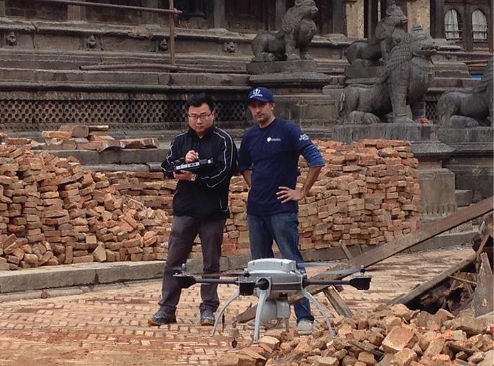
Mapping drones must sometimes operate under difficult conditions, Proulx said, and they need to be rugged and reliable. An Aeryon Lab SkyRanger was used recently for a mapping mission in Ecuador to help in an earthquake recovery effort. Aeryon partners with Global Medic to perform missions in emergency situations.
“We mapped out landslides that blocked roads, rural areas and cities,” said Rahul Singh, executive director of Global Medic. “The idea is to be able to provide the responding authorities with critical, comprehensive and analyzed information so they can turn around and say this is the extent of our damage. You can’t manage a crisis unless you can measure it. There’s no better way to do that than to use UAS to create emergency maps.”
You have to have a tough, resilient system for this kind of application, and Singh couldn’t imagine doing it without the SkyRanger.
“It’s just a workhorse,” he said. “You put it up, it gets the information, it comes back and you swap out the batteries and change the card and it goes back up. When one is flying a mission we have a generator running in the back of a pickup. The whole idea is to fly all day. And I’m only touching on a piece of its capabilities. Just incredible performance. Every day we fly the missions and every night we upload the data and make maps. We have the maps the next morning.”
Sensor Swapping
Increasingly, advanced systems are also more versatile, Bethel said.
“We found the high-end systems are becoming more sensor modularized,” Bethel said, “so you can swap things out—where you can remove a daytime color photo camera and put in maybe a thermal video camera or a hyperspectral camera in the same payload. It’s nice to see some of the vendors going that direction rather than purchasing a completely separate system to fly a separate mission.”
Many entry-level systems lack such flexibility, Hogan said.
“Even if you’re using the UAS for one application, within that application there might be a time when you use different payloads,” Hogan said, noting microdrones offers standard payloads for agriculture and inspection applications but can also work with customers to create other payload options. “Mapping is a good example of that. Depending on your requirements you might select a different camera. The ability to swap between payloads is important.”
Professional systems are also known for their reliability, which is key during mapping, said Francois Gervaix, product manager for surveying at senseFly. Systems should repeatedly provide the same quality information, no matter where they’re flown or what the application.
Thomas Haun, vice president of strategy for PrecisionHawk, agreed. The UAS and the sensor need to repeatedly and accurately capture the data, he said, so it’s possible to repeat the flight and look at trends in the data over time.
That’s exactly what Alex Pearson, who owns AG UAV, was looking for when he decided it was time to add a multirotor drone to his fleet. He always had been wary of multirotor aircraft—especially because he tends to fly over active construction and quarry sites where people are working. With an unmanned fixed-wing platform, even if something goes wrong, it’s fairly easy to control and recover the aircraft. He doesn’t have that confidence in a multirotor, or at least he didn’t.
After researching the options, Pearson decided to go with the md4-1000 from microdrones. He knew it was a reliable system that wouldn’t falter even in a gust of wind, and would safely collect data of the area being surveyed.
“The craftsmanship and quality of the product is extremely high. I’m very happy to show it off to any of my clients who want to take a closer look,” said Pearson, who also noted the drone’s endurance. “And this is coming from someone very wary of multirotor aircraft. They’ve really won me over in terms of how much I trust it, how reliable it is and how easy it is to use.”
Efficiency
Benjamin Benharrosh, co-founder and sales and marketing director of Delair-Tech, said advanced systems reduce the time spent in the field. Delair-Tech manufactures the DT18 and the DT26X and was one of the first companies authorized to fly UAS beyond visual line of sight. Operators can check the quality of the data and make necessary adjustments to the professional grade camera’s parameters during flight—a feature starter systems don’t have.
“If you go with a system that’s too basic the quality of the data will not be good enough,” Benharrosh said, noting the need for quality sensors and accurate IMUs (inertial measurement units). “Maybe three or four years ago people tended to use the cheaper systems because they wanted to discover the technology. Now they realize the quality of the data and the accuracy were not good enough. So now people already using UAS technology are switching from basic to more professional tools.”
RTK GPS, together with a quality IMU, provides very precise photos for surveying and mapping applications, Benharrosh said. These features make it possible to accurately measure pitch and roll. Larger endurance platforms also have the ability to carry Lidar, which is an especially important tool for surveyors.
“With Lidar you can see the ground even when there’s vegetation,” Benharrosh said. “You can see a very specific object like a power cable. When you want very specific detail Lidar can be a better option.”
More Support
What you get from the companies behind these more robust systems is more than just the physical UAS. They also offer training and an ongoing relationship with both hardware and software support, Gervaix said. If something goes wrong, operators aren’t left to figure it out on their own. Professionals trained in the field are there to help.
“When customers spend a lot of money on a system, they should have a seamless workflow so they can get the results they need. And if there are issues, they don’t have to worry about one vendor pointing fingers at another vendor,” said Sean Chard, southeast channel manager at Trimble.
Pearson said he’s been pleased with the people behind microdrones and the support they offer.
“The support system behind it is really excellent,” Pearson said. “Because it’s a mature airframe they come up with ways to improve it all the time and that trickles down to us. It’s not just aging, it’s constantly being updated and improved.
Most people who want to start flying UAS for surveying and mapping don’t know much about aerial imaging, Snyder said. They might be experienced in ground surveying, but see the benefits of moving into aerial surveying with an unmanned platform and are eager to get started. They might not realize how much more professional systems can do for them versus a consumer grade system, so they start out small and soon realize they should have asked more questions about the manufacturer and the drone they invested in.
“This is an industry wide problem,” said Dave Henderson, director, geospatial sales for Topcon Positioning Systems, the company that manufactures the Sirius Pro and the Falcon 8. “People come to us after buying something for less money and finding that, while it performed portions of the job OK, it wasn’t a complete solution and didn’t meet their long term requirements. They didn’t really understand what they were purchasing until they used it for a month or two. Then they realized the drawbacks.”