The FAA recently granted the Sanborn Map Company a Section 333 Exemption to commercially fly its unmanned aircraft system.
The Colorado-based company has completed several UAS test flights and data collection projects to validate its geospatial collection capabilities, according to a news release. The trials have resulted in engineering-grade digital terrain models with more than 2 inch accuracy, multispectral frame imagery at sub-centimeter resolution and vibration-free video.
Sanborn customers can benefit from UAS technology in a variety of applications, including site mapping, highway survey and accident mapping, damage assessment and response efforts, volumetric assessment and asset estimation, corridor asset review and precision agriculture.
“Sanborn’s UAS technology is a great fit for a host of customers,” said Sanchit Agarwal, director of mapping operations, according to a news release. “Among them are police and fire departments, agricultural operations, utilities, oil & gas concerns, emergency response planners, local governments, mine operators and the media.”
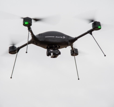
The company’s UAS features a vertical takeoff and landing platform and capacity for a 15-pound payload, according to the release. Its full military-grade autopilot with GPS waypoints and laser altimeters are integrated with its sensor payload, making pinpoint sensor control possible.
Sanborn plans to provide UAS flight services for its customers as well as image process and analysis services for the imagery collected. The company will also provide processing and distribution services to third-party UAS operators.
For more information visit sanborn.com.