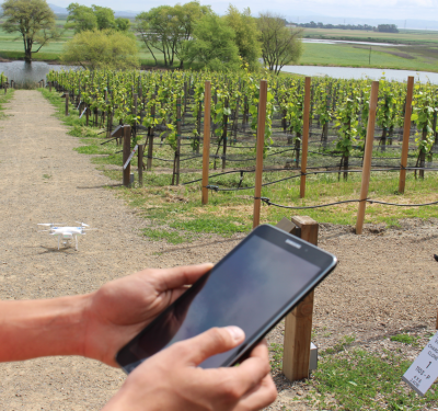
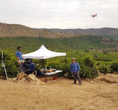
Velodyne LiDAR’s VLP-16 Puck and Puck LITE 3D LiDAR sensors will now be integrated into BoE Systems’ drones, enabling the systems to provide geospatial data collection and analysis.
Through the partnership, the unmanned aircraft systems (UAS) will provide 360° imaging of geography and equipment for industries that have a critical need for quick, safe, and accurate aerial inspections, including transportation, utilities, telecommunications/infrastructure, construction, aggregate, forestry, and agriculture, according to a news release.
“UAV mapping is a nascent industry that has quickly evolved with the adoption of LiDAR sensor technology,” said Mike Jellen, President and Chief Commercial Officer for Velodyne LiDAR, according to the release. “With BoE Systems’ integration of Velodyne’s advanced VLP-16 Puck and Puck LITE sensors, the result is an incredibly valuable service that quickly and accurately maps geography and equipment to save customers critical man-hours, cost, and effort.”