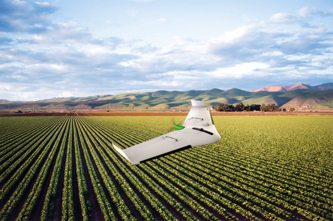
The new UX11 Ag unmanned aircraft system (UAS) from Delair is specifically designed for large scale surveying in agriculture and forestry.
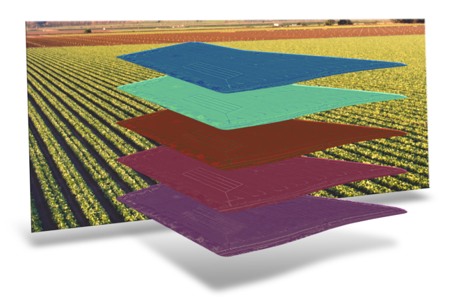
The company’s UX11 fixed-wing drone serves as the system’s foundation, according to a news release. The new model combines the benefits of long-range beyond visual line of sight (BVLOS) operations with accurate survey-grade mapping and plant data collection capabilities. It features enhanced centimeter-level geolocation, sensing technologies and a multispectral camera for plant-level measuring, including bird level, biomass and chlorophyll.
Designed specifically for the challenging conditions found in large-scale farming environments, the platform supports a productivity-oriented workflow for long-range, multi-field and multi-flight operations. The precise automatic geolocation enables an optimal overlay of maps for temporal analysis or machine guidance. The drone enables real time review of data for enhanced analyzing efficiency in the field.
The easy-to-use and assemble UX11 Ag is well suited for a variety of large-scale agriculture activities, including inventory control to optimize operations management and crop planning, increased traceability for sustainability, crop health monitoring and extraction of key production metrics, and crop response assessment in field trials and research.
The system reduces the time and money required to provide detailed surveys of large-scale agriculture operations, according to the release. It can typically cover up to 900 hectares in a day with six flights at a 150-meter altitude. Weighing 1.4 kg, the system has dimensions and capabilities that make hand launching possible. It also features BTOL (bird-like take-off and landing) for steep-climb take offs and descents in confined areas.
The UAS comes with two communications options, which are the Delair Link for 2.4 GHz wireless communications that allows connections anywhere and a range of up to 5 km; and an integrated secure cellular connection on partner 3G and 4G networks that reduces potential interference issues and allows longer range control, including BVLOS operations.
“The Delair UX11 Ag directly addresses an opportunity in the fast-growing agriculture and forestry segment with a solution that uniquely meets the productivity and ease-of-use requirements of these operations. It fills the void that exists between traditional small-scale solutions such as flight-time-limited quadcopters, and the limited resolution and agility through satellites,” Delair co-founder and CEO Michaël de Lagarde said. “We have built on a proven foundation of our UX11 model and created a platform that is both cost effective and high performing to deliver very precise and actionable insights for agricultural stakeholders of all kinds of crops.”