
Supported by the European Space Agency (ESA) NAVISP program, UK-based Omnisense has successfully completed the DroneHome-2 project. The result is…
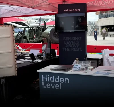
Hidden Level Wins $100 Million OTA to Scale Passive Sensing for Counter-Drone Mission
The Department of Defense has awarded Hidden Level a $100 million Other Transaction Authority contract to field the company’s passive…
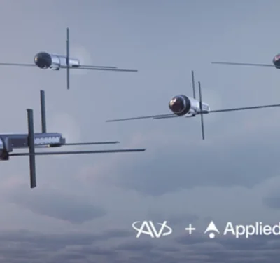
AV, Applied Intuition Team to Bring Collaborative Autonomy to Mayhem 10
AeroVironment (NASDAQ: AVAV) and Applied Intuition have announced a strategic teaming agreement to integrate Applied Intuition’s Acuity ISR/Strike autonomy software…
Skyeton to Build First U.S. Manufacturing Plant in N.C., Joining Ukrainian Drone Makers Onshoring Production
Skyeton, Inc., the U.S. subsidiary of Ukrainian long-endurance UAS manufacturer Skyeton Holdings, will open its first flagship U.S. manufacturing facility…

BAE Bets on Sovereignty, Unveils Brontanax Loyal Wingman to British Military in Search of ‘Storm Fighter’
BAE Systems unveiled a Loyal Wingman drone fighter called Brontanax at the UK’s Farnborough airshow: a prototype the company’s FalconWorks…
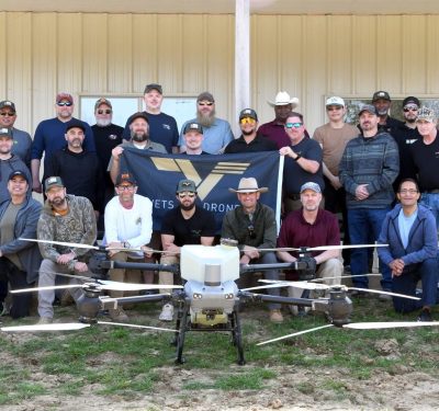
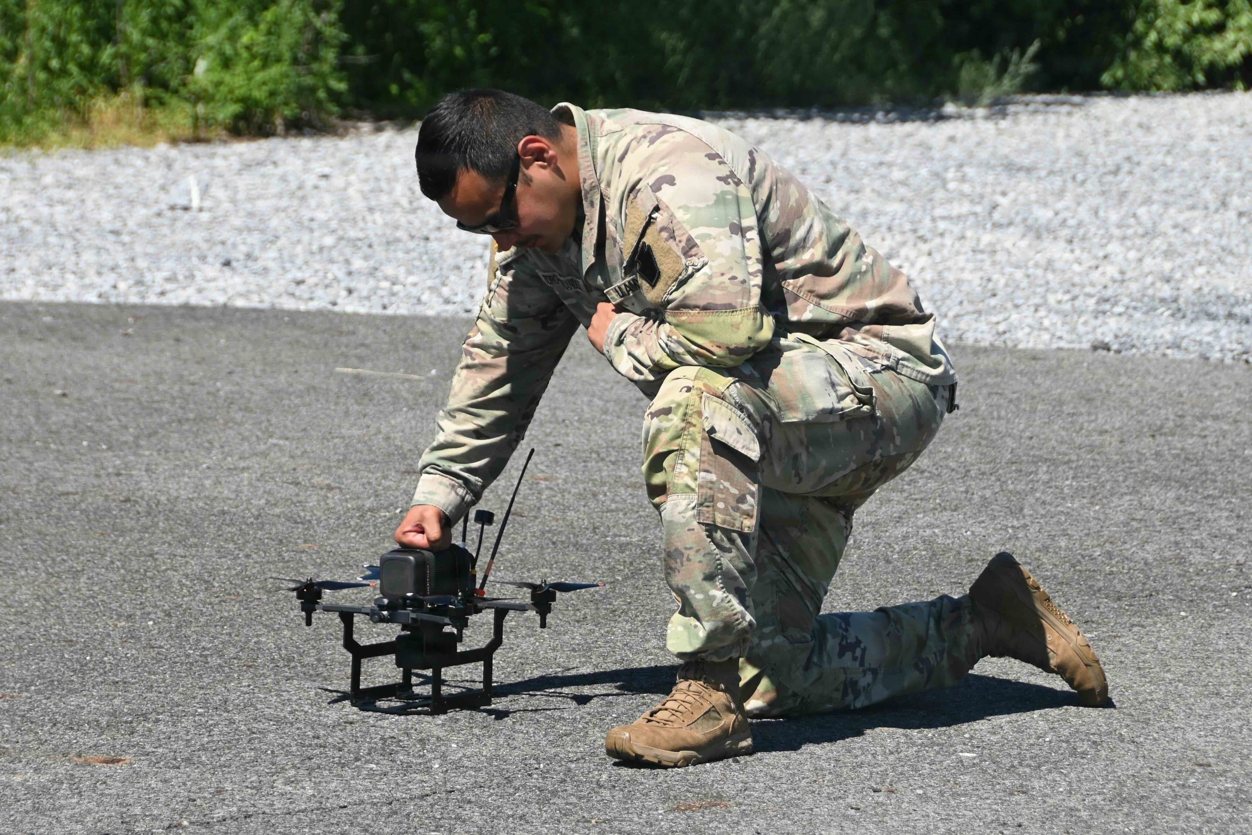
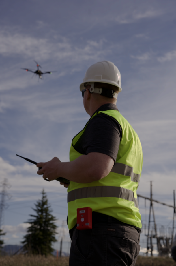
Vets to Drones Lifts Off
On July 7, Charlotte-based Lucid Bots became the latest autonomous company to support Vets to Drones in transitioning military service…

Five Good Questions: NW Blue
Ezekiel Bierschank is Managing Director of NW Blue, a U.S.-based manufacturer and authorized CubePilot partner specializing in NDAA-compliant sUAS components….
TEKEVER Unveils AR6, a New Family of Autonomous Systems for Heavy Lift
TEKEVER has revealed AR6, a new product family that extends the company’s autonomous portfolio into the heavy-lift class for both…
FCC Extends Trusted-Drone Exemptions, Opens Path to Broader Import Bans
On July 21, the FCC’s Public Safety and Homeland Security Bureau extended two existing Covered List exemptions, made a third…
Inside the Drone Dominance Supply Chain: What Every U.S. Drone Company Must Source—and by When
Inside Unmanned Systems maps the Pentagon’s new component-level requirements across the NDAA, Blue UAS and Drone Dominance frameworks—showing where platforms…
Drone Dominance Program Launches New ‘Gauntlet’ Mission C Competition for Heavy Gravity-Bomber Drones
The Pentagon’s multi-phase Drone Dominance Gauntlet competition seeking to stimulate development and mass production of low-cost first-person view (FPV) kamikaze…
Invisible Enablers
Leading-Edge Mesh Radio Companies are Marketing For the Future. Radios and their underlying comms systems have been near-invisible enablers, guiding…
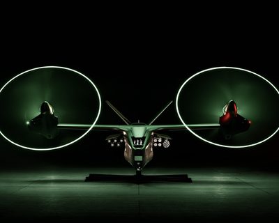
Anduril and Archer Unveil Jointly Built Autonomous VTOL Platform, Thunder
Anduril and Archer Aviation have unveiled a jointly developed, dual-use VTOL aircraft platform at Farnborough, with Anduril showcasing the defense…
The Asymmetric Edge: Emil Michael Lays Out DoD’s AI Architecture at SOF Week
The Under Secretary of Defense for Research and Engineering described a three-layer approach to embedding AI into warfighting — and…

Two Minutes Instead of Days: Inside a SOF Week Demo of AI “Warfighting Agents”
At SOF Week’s solution stage, a Vannevar Labs presentation titled “Mission-Ready AI: Accelerating Decisions with Agent Control Plane and Mission…

Saronic to Build $3 Billion Port Alpha Shipyard in Brownsville, Texas
Saronic has selected Brownsville, Texas as the site for Port Alpha, a next-generation shipyard the company says will help expand…
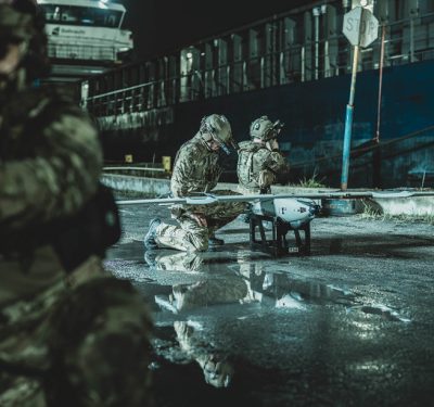
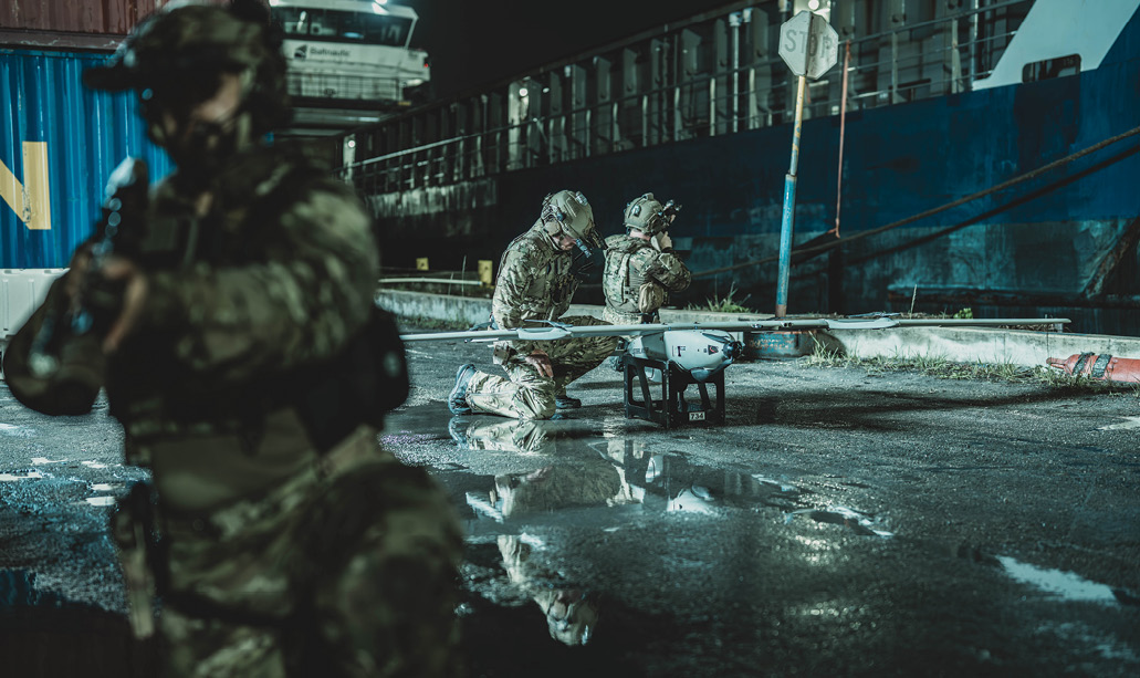
U.S. Navy Corsairs Just Conducted Its First Kamikaze Drone Boat Attack Since World War II
Just a over a month after the U.S. Navy used a small unmanned surface vehicle (USV) for the first time…

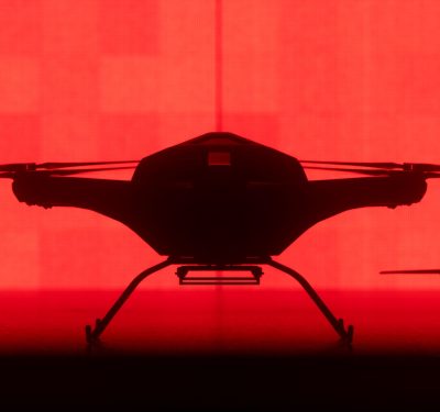
Omnisense Drone Landing System for GNSS-Degraded Environments
Supported by the European Space Agency (ESA) NAVISP program, UK-based Omnisense has successfully completed the DroneHome-2 project. The result is ...

Hidden Level Wins $100 Million OTA to Scale Passive Sensing for Counter-Drone Mission
The Department of Defense has awarded Hidden Level a $100 million Other Transaction Authority contract to field the company's passive ...
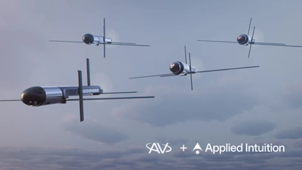
AV, Applied Intuition Team to Bring Collaborative Autonomy to Mayhem 10
AeroVironment (NASDAQ: AVAV) and Applied Intuition have announced a strategic teaming agreement to integrate Applied Intuition’s Acuity ISR/Strike autonomy software ...
Skyeton to Build First U.S. Manufacturing Plant in N.C., Joining Ukrainian Drone Makers Onshoring Production
Skyeton, Inc., the U.S. subsidiary of Ukrainian long-endurance UAS manufacturer Skyeton Holdings, will open its first flagship U.S. manufacturing facility ...

BAE Bets on Sovereignty, Unveils Brontanax Loyal Wingman to British Military in Search of ‘Storm Fighter’
BAE Systems unveiled a Loyal Wingman drone fighter called Brontanax at the UK’s Farnborough airshow: a prototype the company’s FalconWorks ...
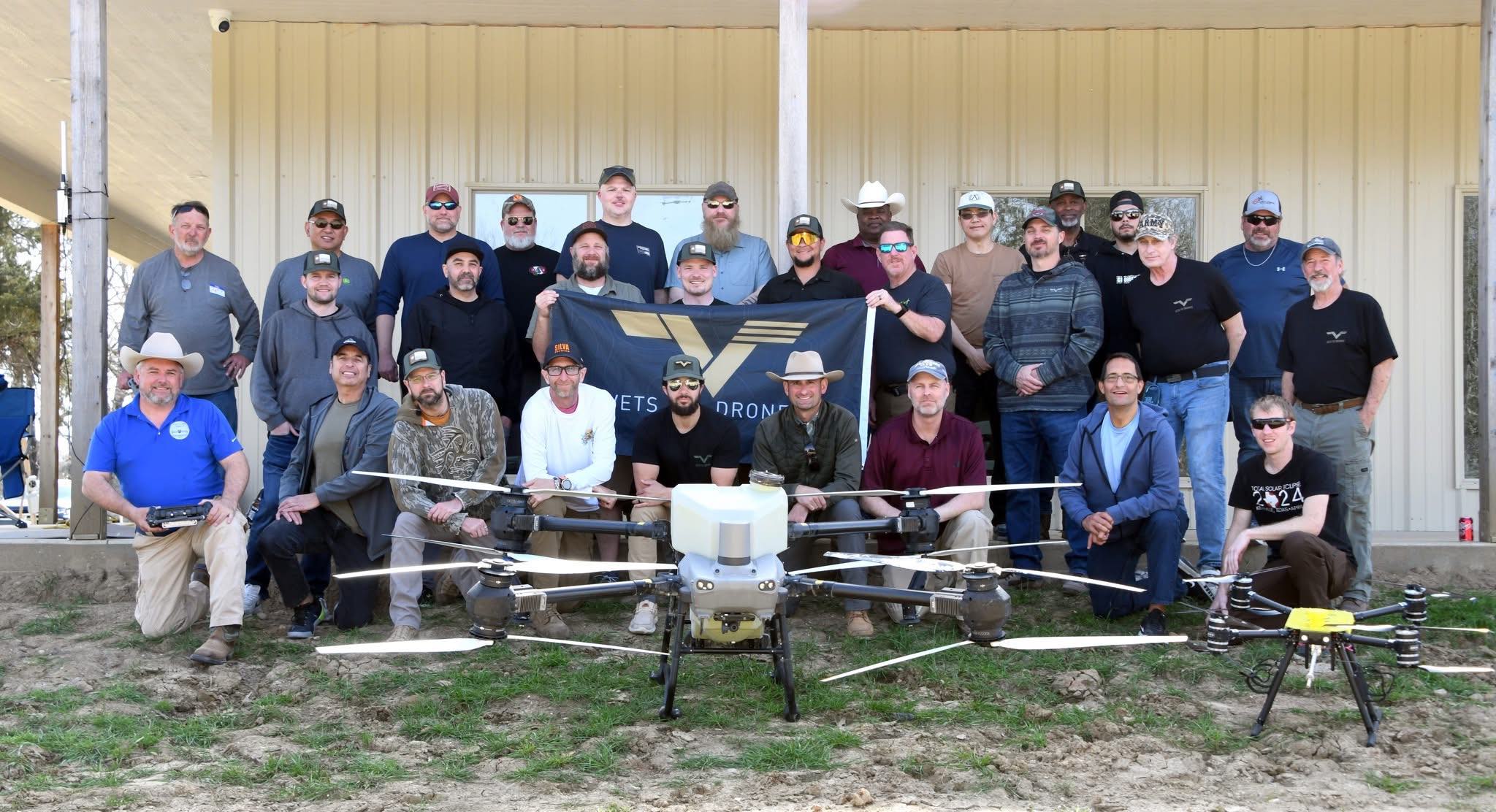
Vets to Drones Lifts Off
On July 7, Charlotte-based Lucid Bots became the latest autonomous company to support Vets to Drones in transitioning military service ...
Five Good Questions: NW Blue
Ezekiel Bierschank is Managing Director of NW Blue, a U.S.-based manufacturer and authorized CubePilot partner specializing in NDAA-compliant sUAS components ...
TEKEVER Unveils AR6, a New Family of Autonomous Systems for Heavy Lift
TEKEVER has revealed AR6, a new product family that extends the company's autonomous portfolio into the heavy-lift class for both ...
FCC Extends Trusted-Drone Exemptions, Opens Path to Broader Import Bans
On July 21, the FCC's Public Safety and Homeland Security Bureau extended two existing Covered List exemptions, made a third ...
Inside the Drone Dominance Supply Chain: What Every U.S. Drone Company Must Source—and by When
Inside Unmanned Systems maps the Pentagon’s new component-level requirements across the NDAA, Blue UAS and Drone Dominance frameworks—showing where platforms ...
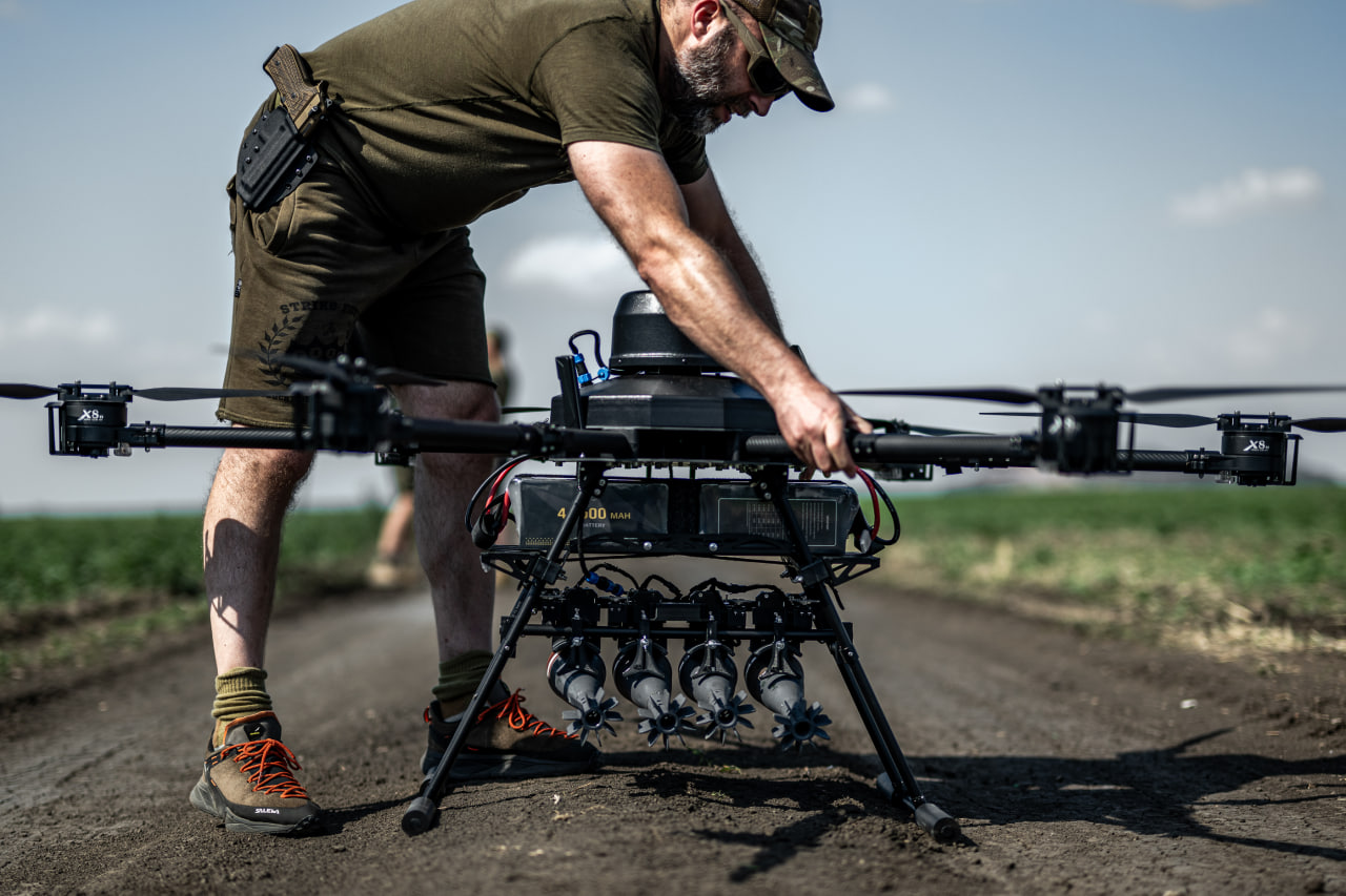
Drone Dominance Program Launches New ‘Gauntlet’ Mission C Competition for Heavy Gravity-Bomber Drones
The Pentagon’s multi-phase Drone Dominance Gauntlet competition seeking to stimulate development and mass production of low-cost first-person view (FPV) kamikaze ...
Invisible Enablers
Leading-Edge Mesh Radio Companies are Marketing For the Future. Silvus is adapting its high-end technology to drone-war scale. Photo courtesy ...

Anduril and Archer Unveil Jointly Built Autonomous VTOL Platform, Thunder
Anduril and Archer Aviation have unveiled a jointly developed, dual-use VTOL aircraft platform at Farnborough, with Anduril showcasing the defense ...
The Asymmetric Edge: Emil Michael Lays Out DoD’s AI Architecture at SOF Week
The Under Secretary of Defense for Research and Engineering described a three-layer approach to embedding AI into warfighting — and ...

Two Minutes Instead of Days: Inside a SOF Week Demo of AI “Warfighting Agents”
At SOF Week’s solution stage, a Vannevar Labs presentation titled “Mission-Ready AI: Accelerating Decisions with Agent Control Plane and Mission ...
Omnisense Drone Landing System for GNSS-Degraded Environments
Supported by the European Space Agency (ESA) NAVISP program, UK-based Omnisense has successfully completed the DroneHome-2 project. The result is ...
Hidden Level Wins $100 Million OTA to Scale Passive Sensing for Counter-Drone Mission
The Department of Defense has awarded Hidden Level a $100 million Other Transaction Authority contract to field the company's passive ...
AV, Applied Intuition Team to Bring Collaborative Autonomy to Mayhem 10
AeroVironment (NASDAQ: AVAV) and Applied Intuition have announced a strategic teaming agreement to integrate Applied Intuition’s Acuity ISR/Strike autonomy software ...
Skyeton to Build First U.S. Manufacturing Plant in N.C., Joining Ukrainian Drone Makers Onshoring Production
Skyeton, Inc., the U.S. subsidiary of Ukrainian long-endurance UAS manufacturer Skyeton Holdings, will open its first flagship U.S. manufacturing facility ...
BAE Bets on Sovereignty, Unveils Brontanax Loyal Wingman to British Military in Search of ‘Storm Fighter’
BAE Systems unveiled a Loyal Wingman drone fighter called Brontanax at the UK’s Farnborough airshow: a prototype the company’s FalconWorks ...
Vets to Drones Lifts Off
On July 7, Charlotte-based Lucid Bots became the latest autonomous company to support Vets to Drones in transitioning military service ...
Five Good Questions: NW Blue
Ezekiel Bierschank is Managing Director of NW Blue, a U.S.-based manufacturer and authorized CubePilot partner specializing in NDAA-compliant sUAS components ...
TEKEVER Unveils AR6, a New Family of Autonomous Systems for Heavy Lift
TEKEVER has revealed AR6, a new product family that extends the company's autonomous portfolio into the heavy-lift class for both ...
FCC Extends Trusted-Drone Exemptions, Opens Path to Broader Import Bans
On July 21, the FCC's Public Safety and Homeland Security Bureau extended two existing Covered List exemptions, made a third ...
Anduril and Archer Unveil Jointly Built Autonomous VTOL Platform, Thunder
Anduril and Archer Aviation have unveiled a jointly developed, dual-use VTOL aircraft platform at Farnborough, with Anduril showcasing the defense ...

Saronic to Build $3 Billion Port Alpha Shipyard in Brownsville, Texas
Saronic has selected Brownsville, Texas as the site for Port Alpha, a next-generation shipyard the company says will help expand ...
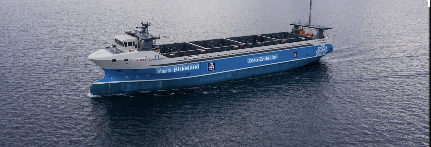
Kongsberg Maritime’s Eco-Autonomy Evolution
In Norway, chemical company Yara had a problem: its pollution-conscious government told it to stop trucking fertilizer and other cargos ...
New JIATF 401 Handbook Reframes Counter-Drone Defense Around Five First Principles
Joint Interagency Task Force 401 has published a 90-page handbook intended to give warfighters, federal agencies and local law enforcement ...
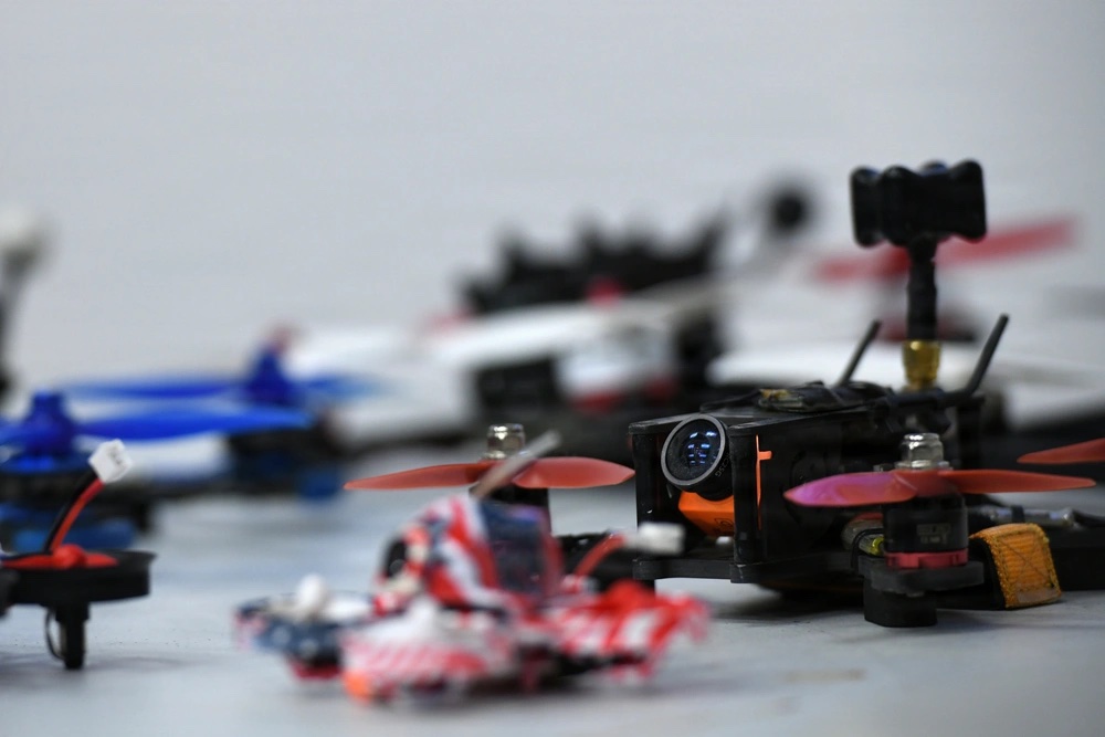
19 Companies Out of 49 Contenders Qualify For Drone Dominance Gauntlet 2 Trial
The Pentagon’s $1.1 billion Drone Dominance Program has taken another step forward. Aimed at identifying and nurturing a championship stable ...

Amprius Technologies Scales Silicon Anode Batteries for Defense Drone Market
The company’s silicon anode cells deliver twice the flight time of standard lithium-ion. The race to build a compliant domestic ...
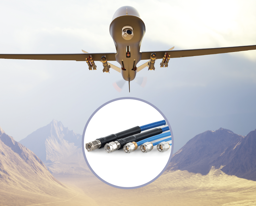
Levitate and the New Math of Military Drone Production
Times Microwave’s Levitate family is built for the middle market in military UAS: lighter than legacy aerospace practice, stronger than ...
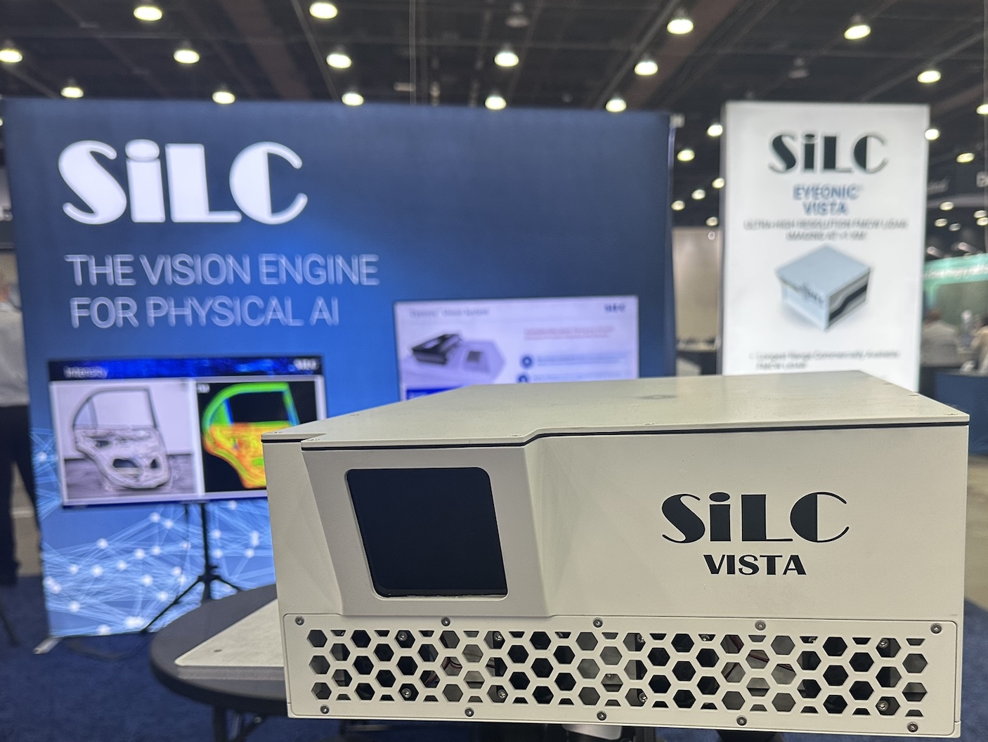
Farsighted: SiLC’s Eyeonic Vista Perimeter Detector
Nefarious actors wield increasingly sophisticated UAS that move quickly, fly low and blend into complex backgrounds and infrastructure. SiLC booth ...
Teledyne FLIR Upgrades Rogue 1 Block 2 with Extended Range, Larger Warhead
Teledyne FLIR has unveiled an improved Block 2 variant of its Rogue 1 quadcopter enabling the loitering munition to strike ...

Trimble Targets Drone Delivery Integration with Smart Antenna Enclosure for PX-1 RTX
Trimble has released a smart antenna enclosure option for its PX-1 RTX positioning solution, packaging centimeter-level GNSS-inertial hardware with an ...
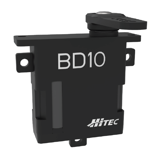
Hitec Commercial Solutions Announces Next-Gen Servo for Small UAS
Hitec Commercial Solutions is excited to announce the next generation in brushless drone servo technology: our high-performance BD10BL. Designed specifically ...
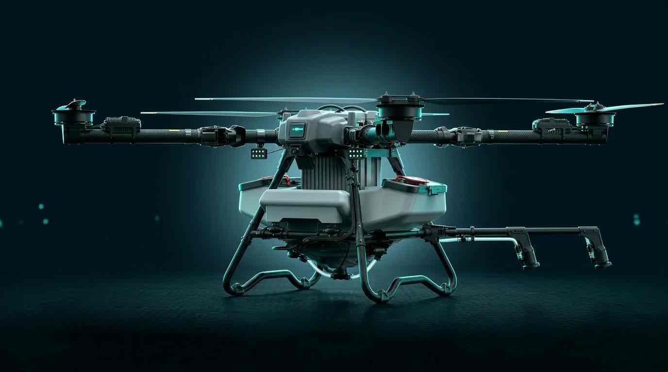
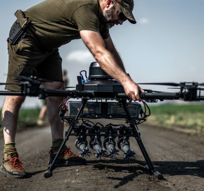
DroneDash and GEODNET Launch GEODASH Aerosystems with Heavy-Lift Agricultural Spraying Drone
DroneDash Technologies and GEODNET have formed a joint venture to bring a new class of autonomous agricultural spraying drone to ...
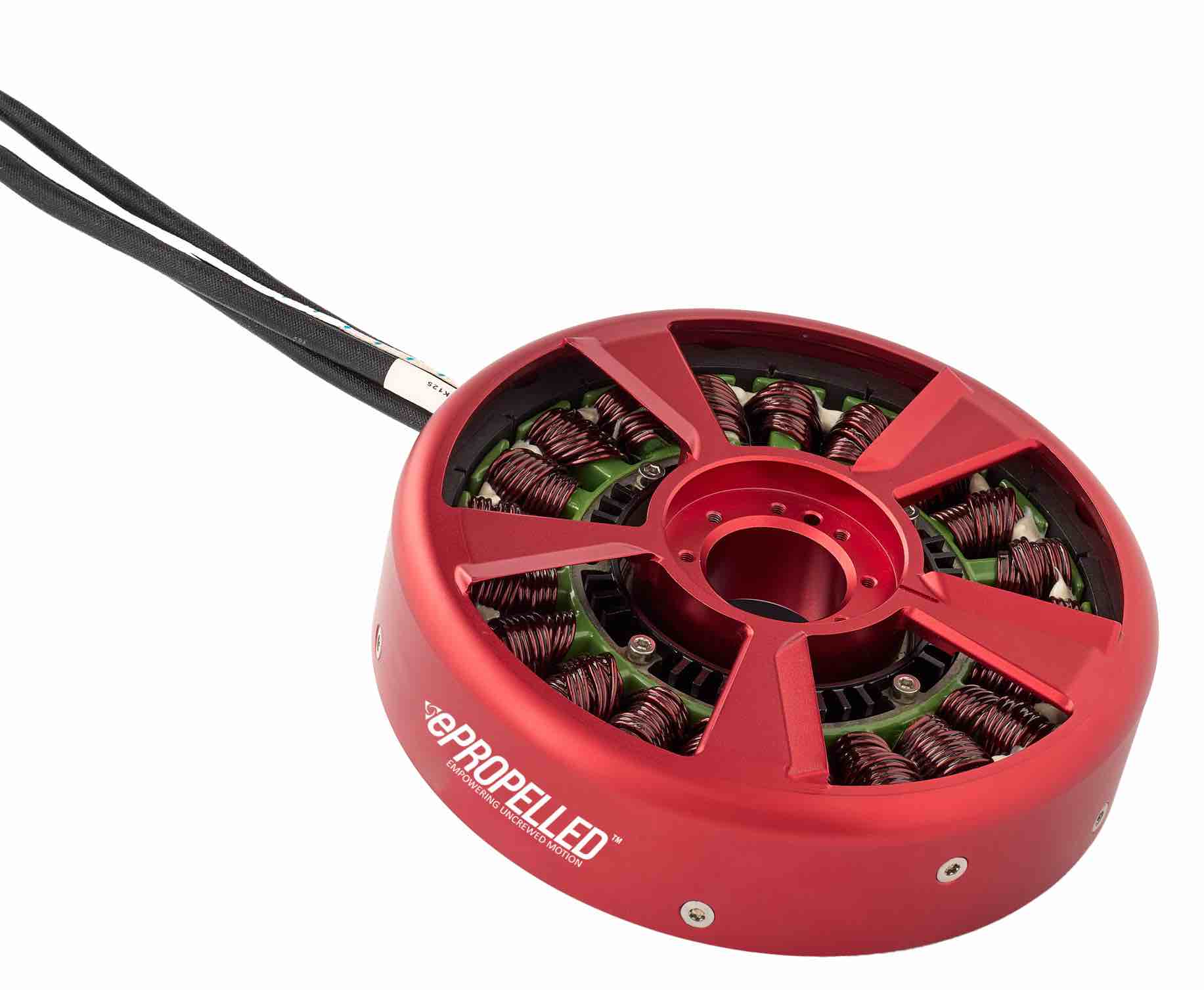
ePropelled Expands Hercules Starter Generator Line for Multi-Domain Hybrid Missions
ePropelled has announced a significant 2026 expansion of its Hercules starter generator product line, extending the platform's reach across uncrewed ...

RIEGL Still Rising at InterGEO 2025
RIEGL's newly released VQ-1060 marks a significant evolution in airborne LiDAR for corridor mapping. Unveiled at InterGEO 2025 in Frankfurt, ...
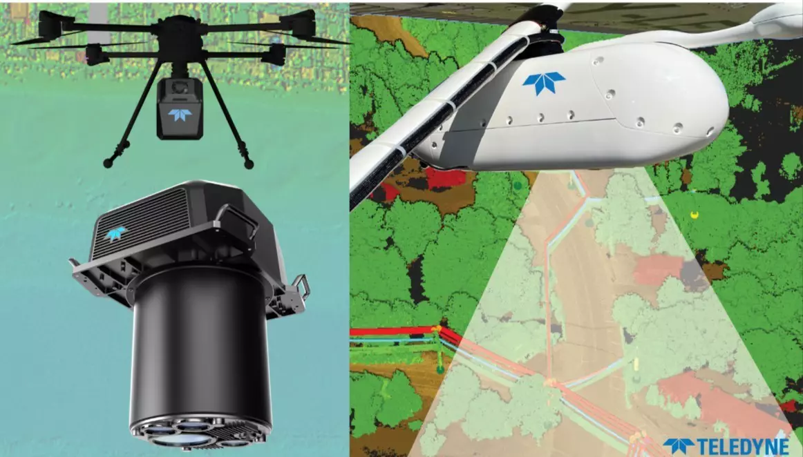
Teledyne Optech Highlights Advanced LiDAR and Marine Mapping Systems at INTERGEO 2025
Teledyne Optech introduced an expanded lineup of LiDAR, imaging, and marine-mapping technologies at INTERGEO 2025, underscoring the company’s focus on ...
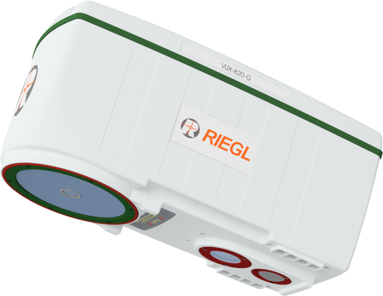
RIEGL Debuts UAV-Optimized “Ultimate LiDAR” at INTERGEO 2025
New airborne and bathymetric sensors extend range, precision, and real-time georeferencing for drone-based mapping and inspection. RIEGL VUX-820-G LiDAR sensor ...
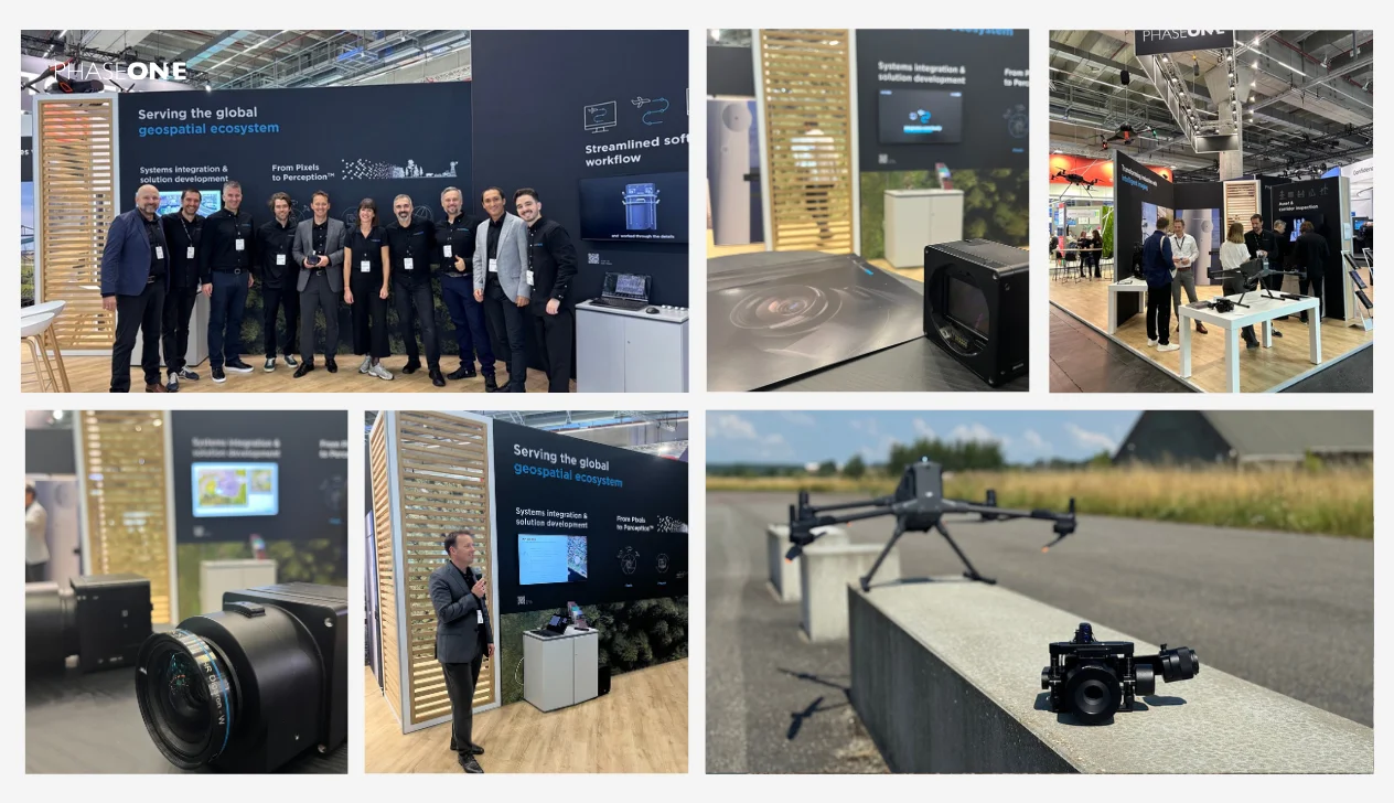
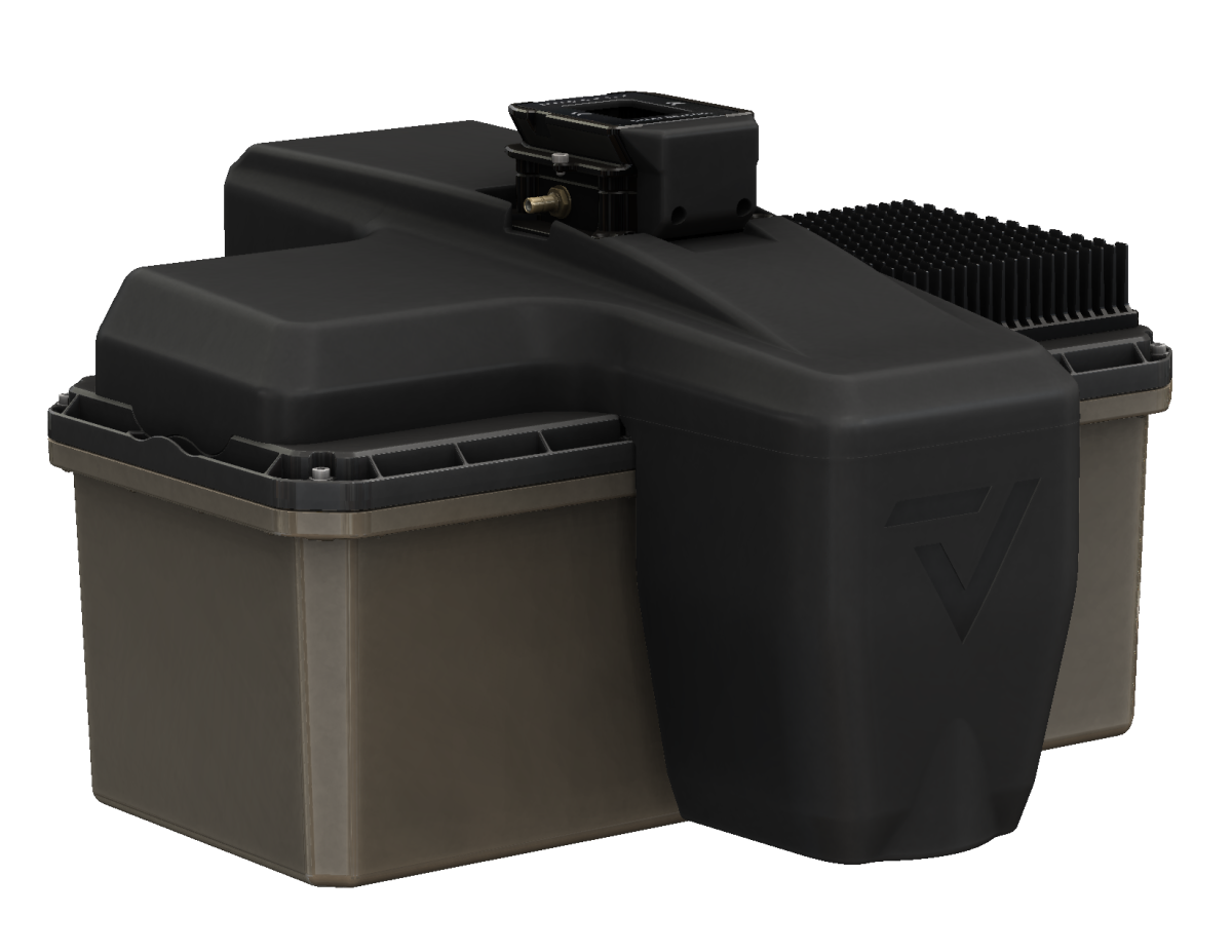
Phase One Unveils Drone-Ready Imaging Stack at INTERGEO 2025
At INTERGEO 2025, Phase One rolled out a suite of new innovations explicitly aimed at aerial mapping and inspection applications. Image: Phase ...
GeoCue Announces New, NDAA-Compliant TrueView 3D LiDAR Sensor at INTERGEO 2025
GeoCue has introduced its TrueView 641, a new NDAA-compliant airborne LiDAR sensor, at INTERGEO 2025. The announcement positions the 641 as a more ...
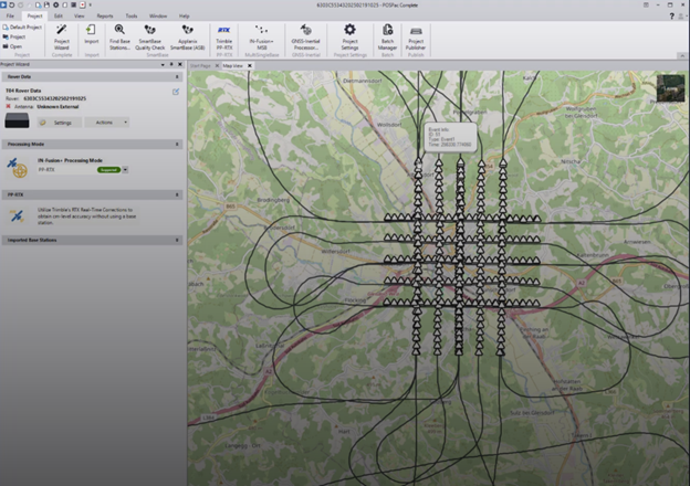
New Trimble Software Enhances Mobile Mapping Workflows
Trimble has announced its next-generation post-processing software, Trimble Applanix POSPac Complete. The solution combines Trimble’s cutting-edge, industry-leading technologies: Trimble ProPoint® ...
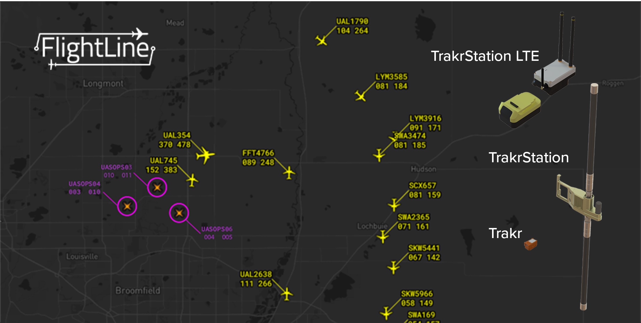
uAvionix Releases Trakr: Low-Altitude Airspace Awareness Extension to FlightLine Platform
uAvionix today announced the launch of Trakr, a new suite of hardware and services that extends its FlightLine airspace surveillance ...
uAvionix Launches skyAlert Wearable Aircraft Alerting Device for UAS Operators and Visual Observers
uAvionix, committed to radically innovating to keep the skies safe for all airspace users, today announced the release of skyAlert, ...
Five Good Questions: NW Blue
Ezekiel Bierschank is Managing Director of NW Blue, a U.S.-based manufacturer and authorized CubePilot partner specializing in NDAA-compliant sUAS components ...

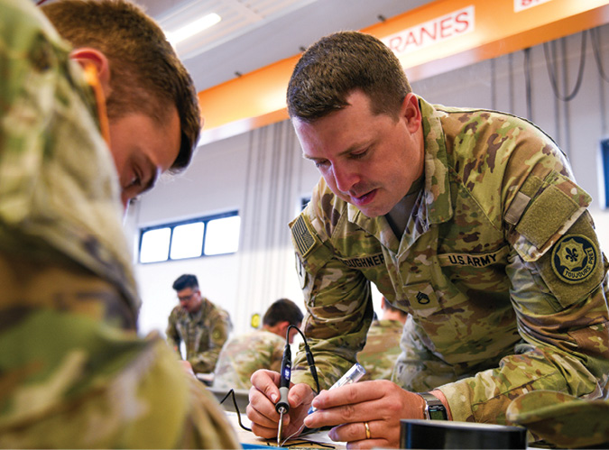
Five Good Questions: Dan Magy, Firestorm Labs
Dan Magy is the CEO of Firestorm Labs, a defense technology company focused on rapidly configurable unmanned systems and forward-deployed ...
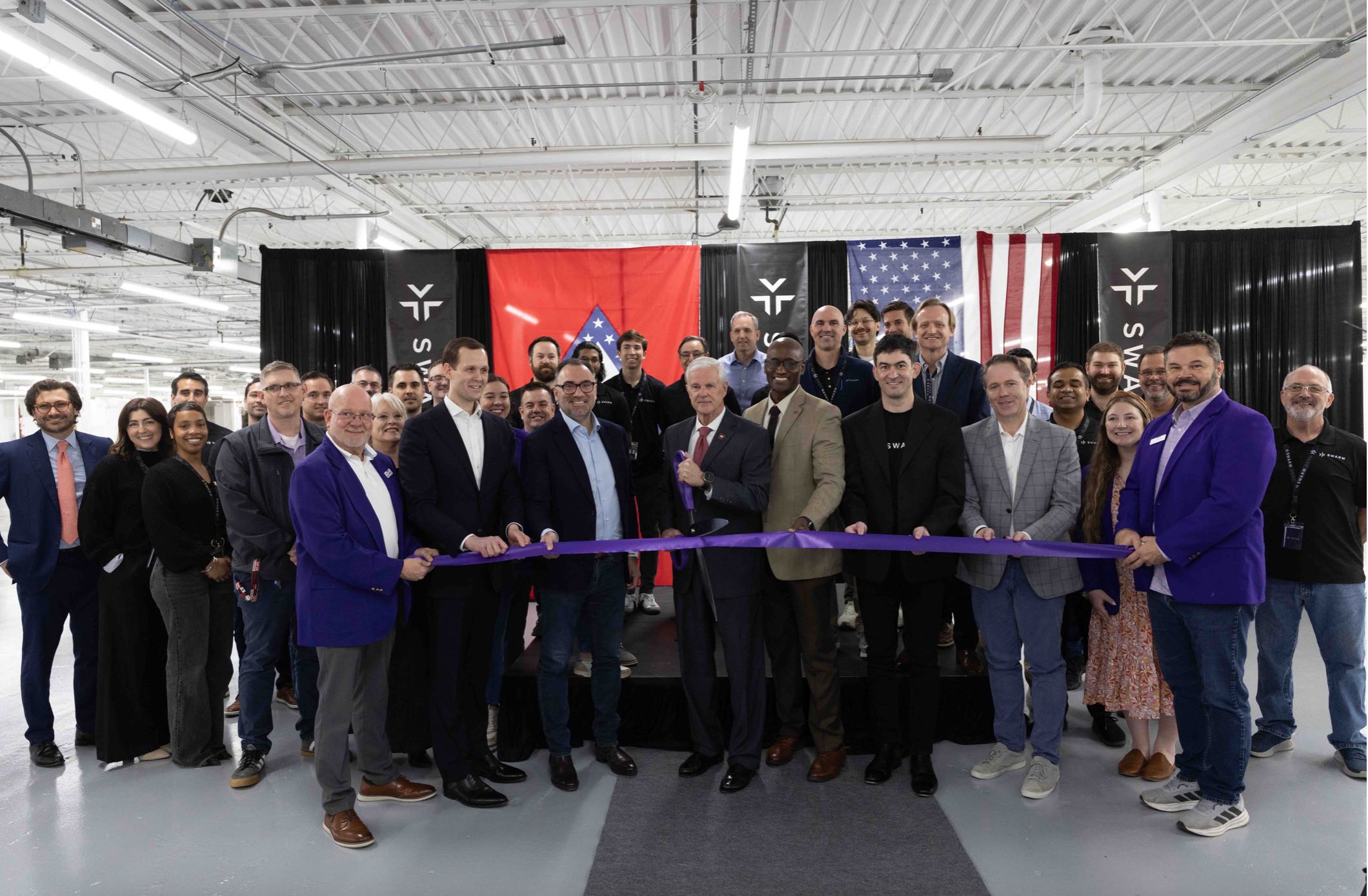
Swarm Aero Announces Advanced Manufacturing Center
Swarm Aero, a developer of large uncrewed aerial vehicle (UAV) swarms, announced the opening of its Advanced Manufacturing Center from ...
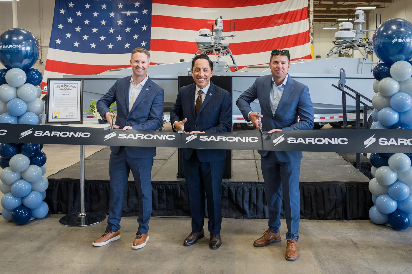
Saronic Opens Autonomous Surface Vessel (ASV) Production Facility in San Diego
Saronic announced the official opening of its 80,000+ square-foot facility in downtown San Diego. The event was attended San Diego ...

Ascent AeroSystems Elevates Paul Fermo to President
Ascent AeroSystems, a leading designer and manufacturer of high-performance unmanned aerial vehicles (UAVs) and a Robinson Helicopter Company, has named Paul ...

Low-Altitude, High Stakes: America’s Drone Policy Gap
Just before the holidays, the phones started ringing. First a few, then dozens of calls from lawmakers, reporters and concerned ...
Industry View: Failure of Remote ID in NJ Might Have Cost Us Years
Editor’s Note: As attention increases regarding aircraft activity in the eastern U.S., Inside Unmanned Systems will be providing substantive context ...

Industry View: Separating Fact from Frenzy
Editor’s Note: As attention increases regarding aircraft activity in the eastern U.S., Inside Unmanned Systems will be providing substantive context ...

Industry View: A Responsible Look at Drones Overhead
Editor's Note: As attention increases regarding aircraft activity in the eastern U.S., Inside Unmanned Systems will be providing substantive context ...

SightLine Applications Appoints Mark Boccella as Vice President of Sales
SightLine Applications, LLC ("SightLine"), an Artemis company, is pleased to announce the appointment of Mark Boccella as its new Vice ...

Five Good Questions: Don DeRosa, Eonix
Don DeRosa, CEO of Eonix, is an entrepreneur with a demonstrated history of working in the nanotechnology and energy storage ...

Accelerating AAM: Blueprint for Movement Over Motion
Policy and regulatory advances are being achieved through effective collaboration between industry and government stakeholders at national, regional and local ...

Five Good Questions: Aaron Nathan, Point One Navigation
Aaron Nathan is the founder and CEO of Point One Navigation, an entrepreneur and technical leader with over a decade of ...

Topcon Positioning Systems announces retirement plan of Ray O’Connor, appointment of Ivan Di Federico as new president and CEO
Topcon Positioning Systems has announced that Ray O’Connor, president and chief executive officer, will retire in September 2025 after over ...

Air Force Col. (Ret.) Ted Davis Joins Auterion Government Solutions as President and General Manager
Auterion Government Solutions, a company building software to support mobile robotics and drone operating systems, has announced Air Force Col ...