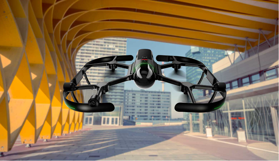
Leica Geosystems, part of Hexagon, has announced significant improvements to the BLK2FLY autonomous flying laser scanner. The product captures building exteriors, interiors, structures, and environments to autonomously create 3D point clouds while flying.
The Leica BLK2FLY is a semi-autonomous flying laser scanner designed for architects, engineers and designers to easily and quickly capture the exterior features and dimensions of buildings and environments that would otherwise require a drone with a LiDAR payload, or a traditional photogrammetry UAV. To operate the BLK2FLY, a user makes a few simple taps on a tablet and the BLK2FLY captures a structure’s complete external dimensions, such as rooftops and facades, in the form of colorized 3D point clouds.
The BLK2FLY also features new exploratory scanning and two new workflows for indoor and outdoor scanning. Additionally, the BLK2FLY also offers three different levels of scan quality based on environment and user needs. These levels include:
• Standard Quality: Ideal for large outdoor environments requiring the least amount of time.
• High Quality: Suitable for complex outdoor or larger indoor environments.
• Very High Quality: Useful in narrow and complex indoor environments.