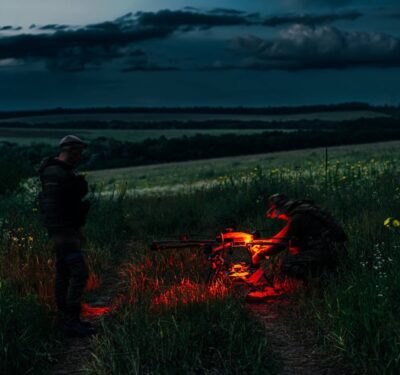
During a wildfire response, there isn’t time to waste.
Firefighters need real-time information about where the fire is headed, and where the hotspots are located. It’s a dangerous job, and one that could be made safer with the use of unmanned aerial systems.
A group of researchers from Olin College, Massachusetts Institute of Technology and Scientific Systems Company have come together to create IMPACT (Integrated Mission Planning and Autonomous Control Technology) to provide real-time information to fire commanders during wildfires, according to the company. Multiple UAS will provide that information, UAS that will work together and communicate as they fly in the dangerous conditions these fires create. The project is funded through a NASA Phase II Small Business Technology Transfer (STTR) program.
The team has developed ground station planning and control software, as well as onboard autonomy software for multiple fully-coordinated drones. The technologies that makes this possible include machine learning to predict the fire spread rate, as well as autonomous collaborative algorithms for multi-UAS coordination, search, geo-location, closed-loop surveillance, and real-time fire perimeter tracking under contingencies.
These technologies make it possible for one user to coordinate multiple UAS to survey the unpredictable fire and provide real-time updates on where it’s headed.
Testing the UAS
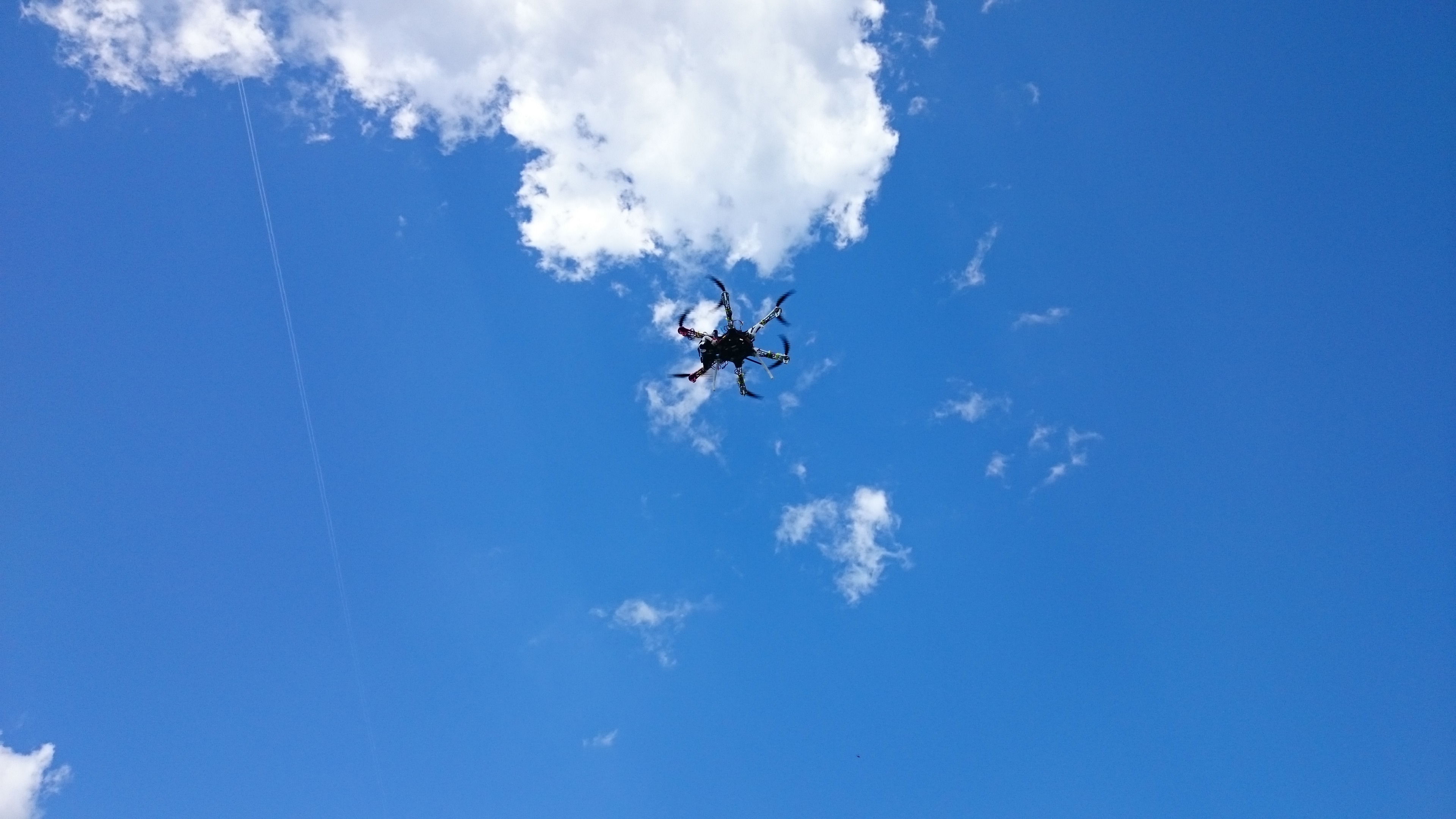
Testing is currently being done at Olin College, and Andrew Bennett, associate professor of engineering, said for now they’re building virtual fires into a computer, and then putting those fires on a real-world map. The systems then fly to these fake fires. With 15 UAS on hand, researchers can launch 12 at a time. They typically use two to five during tests.
“Testing has been pretty successful so far,” Bennett said. “We’ve seen the vehicles respond to the mythical fire we mapped and then react accordingly.”
Researchers are planning a larger test at MIT, where Bennett said they’re going to build an even bigger mythical fire in the simulation room. The UAS must communicate with each other to determine which vehicle to send where. As the fire moves from one location to another, one drone should take off as another lands, so there’s never a disruption.
Next spring, the team will hold a demonstration for NASA, taking the UAS to a real world environment, Bennett said. NASA will choose the site, and the systems must demonstrate they can chase a moving fire. Each UAS will not only have to come back when it needs recharged, but another UAS will need to automatically deploy to take its place. After that demonstration, NASA will determine if they want to move forward with the research.
The Challenges
Sharing information between all these systems has proven to be the biggest challenge, but one the team is working to overcome.
“We want to share as much information as possible, but the more you share the more load you put on your communications system,” Bennett said. “If you’re not careful your communication gets disrupted, which could make the entire system collapse.”
Making UAS Easy to Implement
The firefighters battling these blazes need to be able to seamlessly integrate UAS into their operations. If the systems aren’t easy to use, firefighters simply won’t use them. That’s why researchers have installed Pixhawk into their UAS. The advanced autopilot system is designed by the PX4 open-hardware project and manufactured by 3D Robotics, and is a flexible, reliable solution for automatically controlling any unmanned vehicle.
Pixhawk has been installed in their hobby grade fixed-wing aircraft, rotary quad copters and hexacopters, Bennett said. The team has built a few UAS themselves, and modified others already on the market for this project.
Getting Firefighters on Board
Researchers have talked with firefighters about this project, and while many are excited about the possibilities, some are skeptical. But by doing the research now, the team can prove UAS works in this application, and address any surprises that come up during testing, before ever putting UAS to work during an actual forest fire.
“The planner, which MIT is focused on, has been a lot of work,” Bennett said “The concept is simple. If the vehicle can do this at this point in time, I can predict how far and fast it can go, and how long it stays up. But the model is never accurate. Drone No. 3 never got to where you expected it would because of the wind, and now you need another drone to go there. None of the drones can reach that spot because the wind is terrible. Now you have to think about the problem in another dimension. You might need to send the team to launch the drone at another location. It’s those kind of gotchas that only come up when you do live testing.”
Bennett expects UAS to one day become a standard tool for firefighters to use as they battle these blazes, providing them with the situational awareness they need to better combat wildfires—making better use of their resources and ultimately saving property and even lives.
Because of the many benefits, more researchers and manufacturers are looking to UAS to help monitor wildfires. Learn about what UAS companies like Insitu and Textron are doing in the next print issue of Inside Unmanned Systems.