CERC Quadcopter.Courtesy of CERC
A team within the University of Canterbury’s Spatial Engineering Research Centre (SERC) in Christchurch, New Zealand, is developing a UAV that detects underground hotspots left after a large forest fire or rural fire. These hotspots often burn undetected for weeks after a fire.
Typically, fire fighters search for hotspots on foot or with help from helicopters fitted with thermal cameras, which can cost up to $5000 a day.
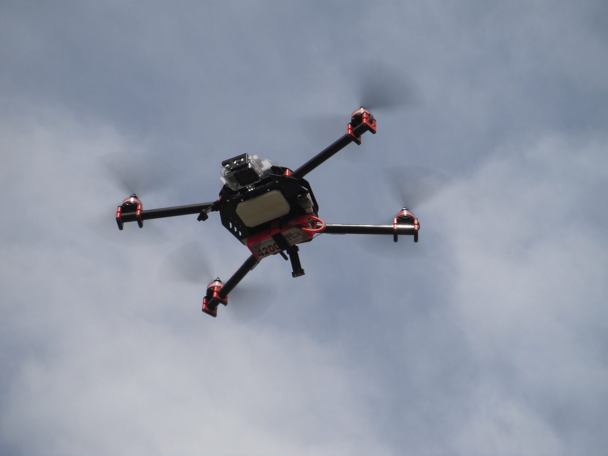
Ben Litchfield, a senior in electrical engineering at the University of Canterbury working with SERC’s senior research engineer Kelvin Barnsdale under a Rural Fire Research Programme jointly funded by UC and Scion has constructed a quad copter UAV fitted with infrared thermal cameras and a GPS that he says is able to quickly and cost effectively locate and map hotspots.
According to Litchfield, the quad copter is fitted with a gyroscopically stabilized high-end thermal camera and GPS equipment and a small on-board computer that stores each image captured by the thermal camera along with its matching GPS coordinate. The UAV flies at about 30 meters high and has a flight time of about 10-15 minutes, which allows it to cover about 4 kilometers in one flight. It can also be deployed day or night.
The team continues to test the drone in varying conditions including wind while also working to extend battery life and therefore flight time. Litchfield hopes to test the UAV in a live situation sometime this year.
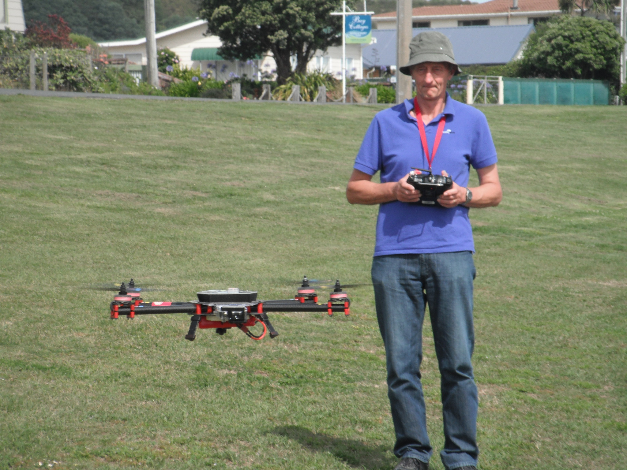
Engineer performs a manual launch of the quadcopter used for detecting underground hotspots.CERC