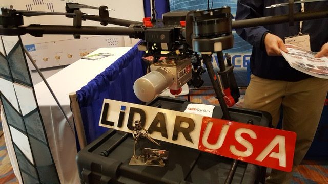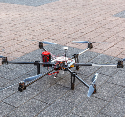
LiDAR USA unit on Drone
To take advantage of smaller UAVs for aerial surveys, LiDAR USA is integrating VectorNav’s VN-300 Dual-Antenna Inertial System into its ScanLook Revolution product. LiDAR USA evaluated other inertial navigation systems (INS), but noticed the small size and weight of VectorNav’s unit, the company said.
The size, weight and power requirements of LiDAR mapping systems limited their use to manned aircraft. “A year ago, among UAVs, there were myriad choices. But the choices were difficult. We needed to build a system that was smaller as the larger systems were $25,000 to $65,000,” said Jeff Fagerman, LiDAR USA CEO. “Weight was huge factor as it was just 840 grams for a LiDAR puck alone.”
LiDAR USA worked with other companies to try to get the size, and cost, down on INS. “We were talking to these guys for a while. We like VectorNav and the company’s dynamics,” Fagerman said. “We were targeting light lifters and the [VN-300] weight and accuracy were great. I’m not putting a GPS receiver that weights five pounds in an UAV.”
LiDAR USA believes the law enforcement market may be a good one in future years. “We did an accident reconstruction job and surveyed a mile leading up to it. We manually surveyed it,” Fagerman said. “With this system, a car can drive right up to it–or a UAV can fly right up to it–and manually survey it. It literally takes one pass to do it.”
Fagerman said some systems survey individual points and are expensive. “With [ScanLook Revolution], it’s one time down the street and surveyors get all curb and gutter measurements, all the mailboxes, all the fire hydrants,” he said. “If someone calls and wants all the utility poles—they already have them.”
ScanLook Revolution, combined with VM-300 and a Tersus GNSS receiver, is a low-cost LiDAR mapping product for companies not looking for a high level of precision. “The unit is accurate, with sub-meter positioning, which works well for powerline encroachment, archeology and law enforcement,” said Jakub Maslikowski, VectorNav director of sales and marketing.


