Data acquisition and classification are vital for enabling geospatial solutions. Technology provider NV5 was at C-UAV Expo to promote its multidomain data services across verticals from inspection to utility services. At its booth, account manager Josh Chapple added another reason for being in Las Vegas: “We’re also trying to learn and see where the market’s heading.”
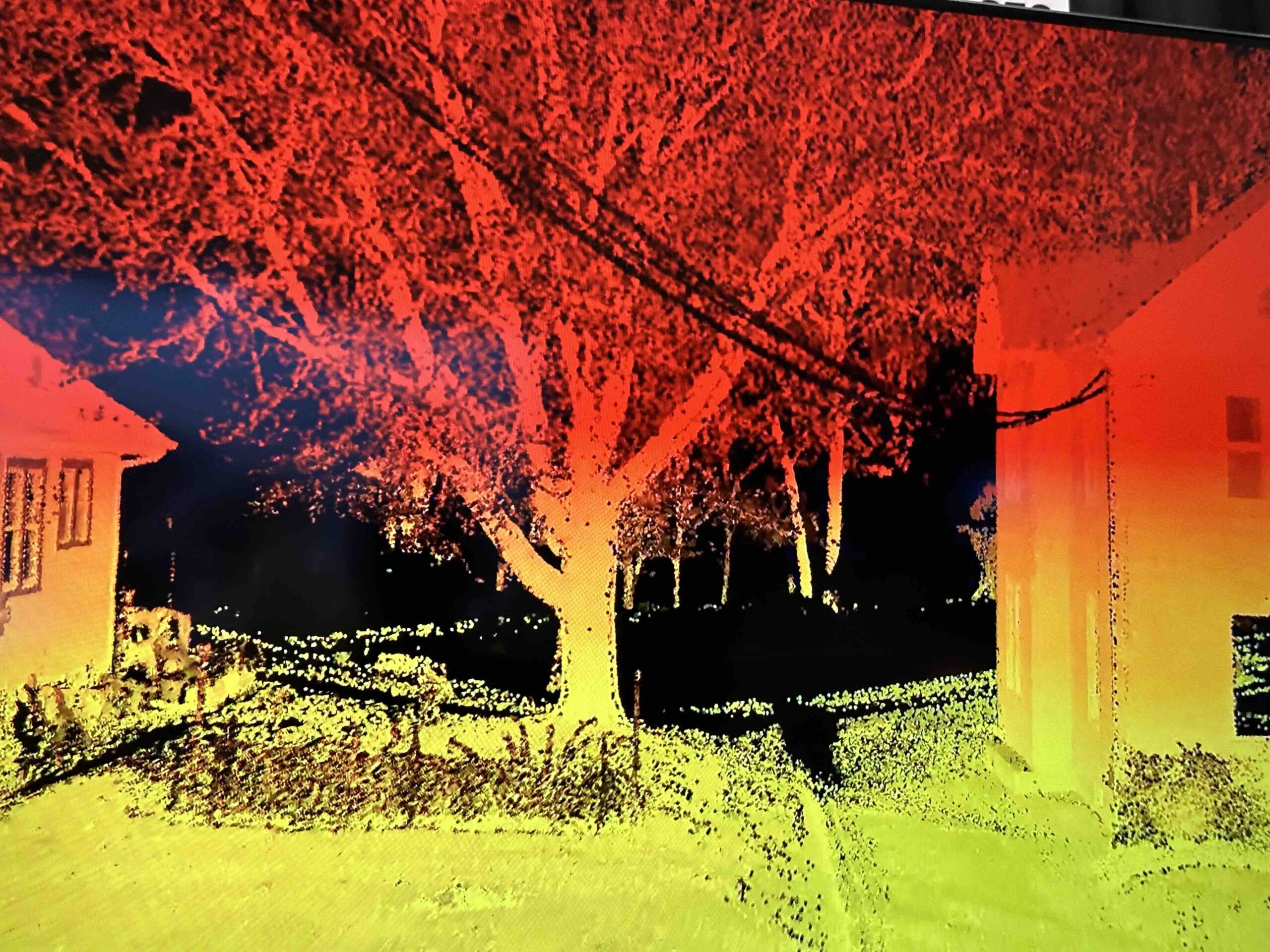
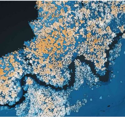
Chapple described NV5 as an “M10 service provider for the geospatial industry, doing data acquisition for remote sensing, mainly LiDAR imagery, some thermal, hyperspectral and even bathymetric systems. Then we process, analyze and provide that data to our clients through different integrations and software, or by just the analytics.”
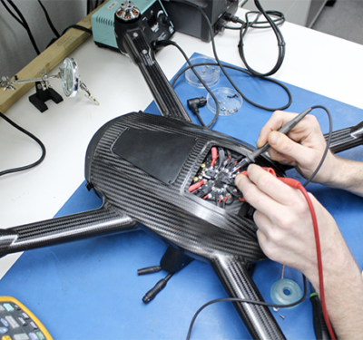
With more than 110 offices worldwide, NV5 is what Chapple described as “really, a network of sensor providers. We integrate those sensors into creating either proprietary pods that we use ourselves or put them into aircraft or onto UAV systems. We’ll use a lot of third-party systems to do LiDAR classification and analytics, as well as machine learning on imagery feature extraction.
“We are classifying multiple different components within an asset,” Chapple continued. For some utility examples, we might have 130-plus classes for engineers so that they can understand every bit of a component of the structure or an asset that they want to be analyzing.”
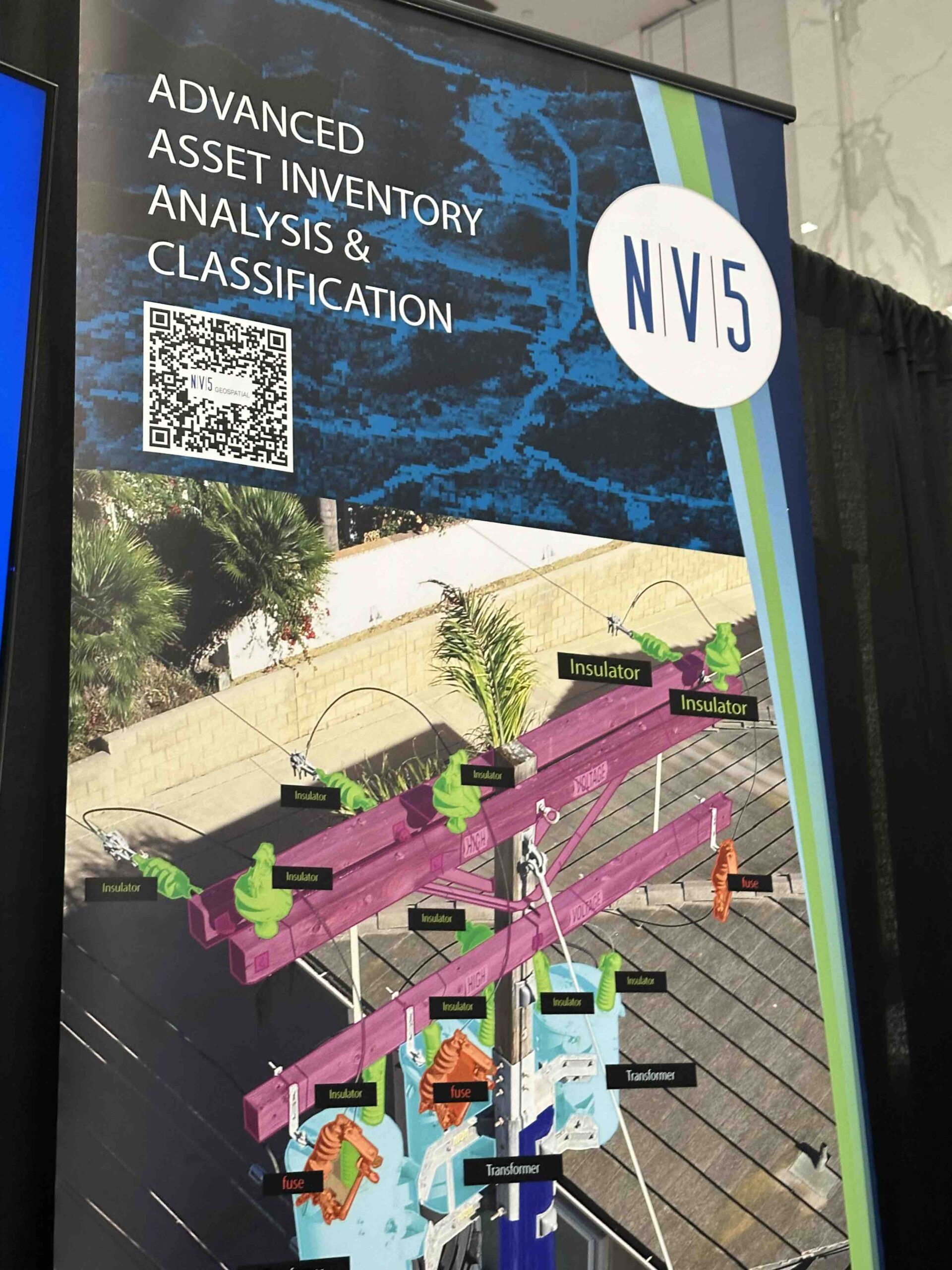
Chapple cited “digital twins, digitized assets so that you can start to monitor them, create a historical database and more insights throughout the entire workflow, or value chain. That’s what we’re trying to push, as well as the connectivity of how your data can empower and create answers, and that’s all connected back to each other.”
As for learning by attending, Chapple was impressed by how “the UAV is really pushing innovation within the geospatial industry—new sensors, more automation, software that empower the end user to do a lot of processes themselves. So, understanding the trends of the market, as well as supporting that, is why we’re here.”


