As wildfires proliferate, the importance of prediction and monitoring using advanced long-endurance UAS grows. Equipped with high-resolution thermal imaging and long-range capabilities, these drones enable early hotspot detection and rapid post-fire assessments, reducing response times and minimizing environmental impact. IUS met with Carbonix CEO Philip van der Burg to learn more.
IUS: Could you give us the background on Carbonix, especially regarding your approach to wildfire prevention and monitoring?
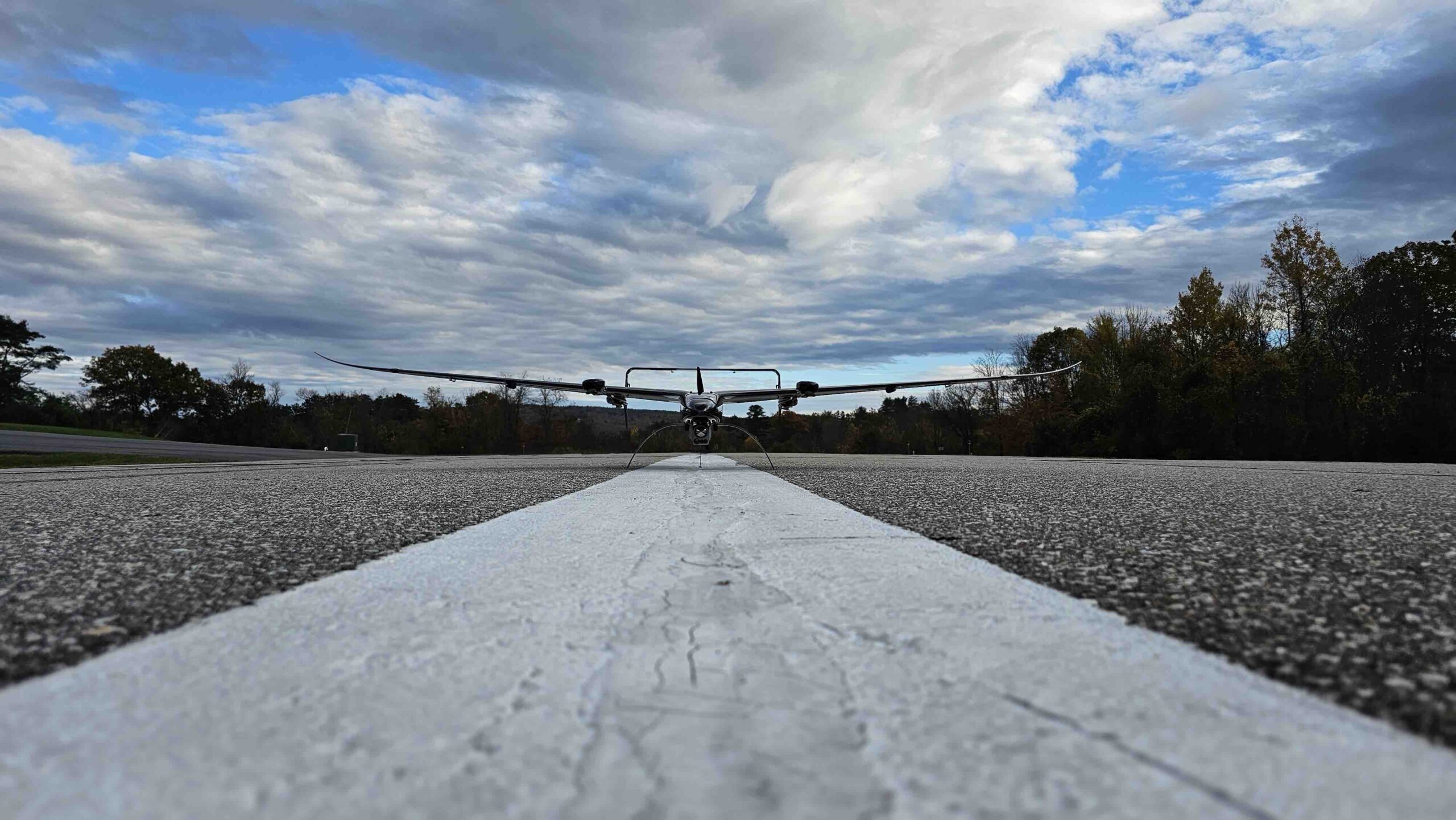
VAN DER BURG: Carbonix was founded by Darren Valenza, a former America’s Cup composite structures designer, about 12 years ago. Initially, the focus was on building advanced airframes based on high-performance composites. About seven years ago, we received interest from a European defense agency to apply our technology to drones. Since then, we’ve moved from purely airframe design to developing complete UAV systems with integrated sensors. Our primary vision is “carry more, for longer,” which is central to the endurance and capacity of our drones.
Our focus has since evolved to center on two primary sectors: power networks and mining. These industries are critical due to their need for sustainable, long-range inspection solutions. We’ve also expanded to support wildfire management, both in terms of prevention and real-time monitoring, especially through partnerships with Australian organizations like the Australian National University [ANU] and wildfire prevention programs in Canada.
IUS: It sounds like you’re working both in predictive analysis for wildfire prevention and in real-time monitoring. Could you outline how your drones are being applied in each context?
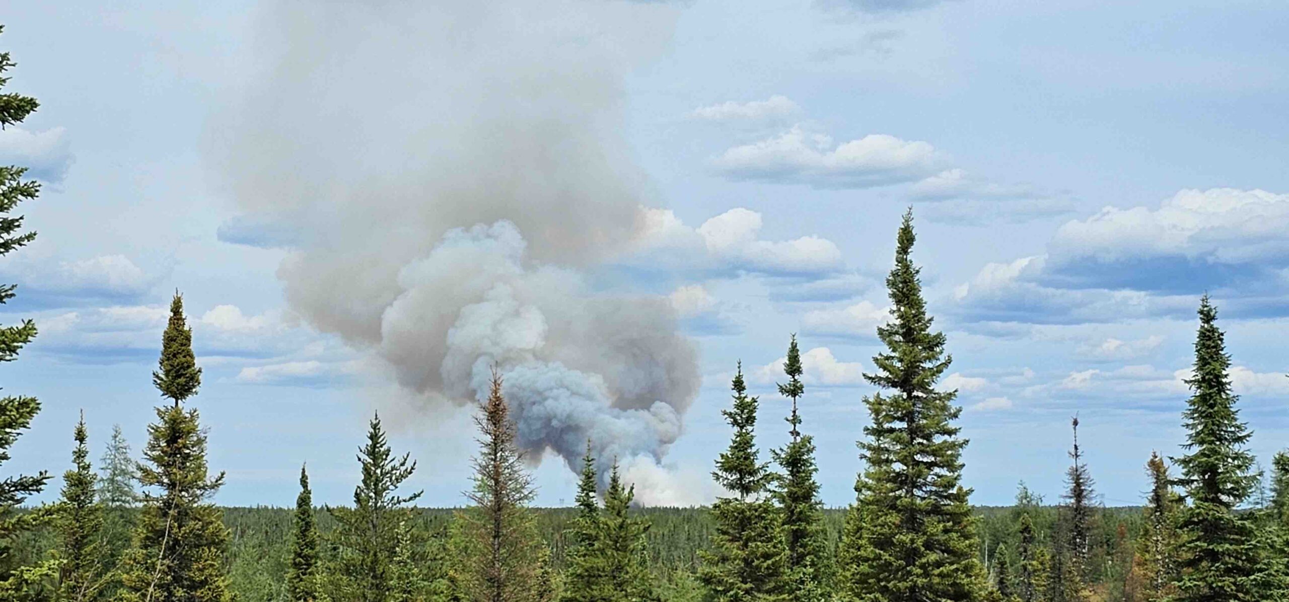
VAN DER BURG: In Canada, our drones are primarily used for continuous monitoring, allowing for persistent surveillance across vast forested areas. In Australia, we’re working closely with power networks on proactive asset and vegetation management to prevent bushfires. By inspecting infrastructure and monitoring vegetation encroachment, we can detect issues before they become wildfire hazards. Here, our drones are part of a pre-fire inspection program, assessing the health and risks surrounding critical assets.
In both scenarios, our UAVs support large-area coverage and high endurance, making them ideal for rural regions. In Australia, for instance, we often operate in remote areas, where the only thing we might encounter is wildlife, like wombats. With our long-range drones, we can fly beyond visual line of sight [BVLOS] without major risk to populated areas.
IUS: Can you walk us through the specific UAV models Carbonix offers, especially in terms of payload capacity and endurance?
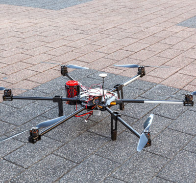
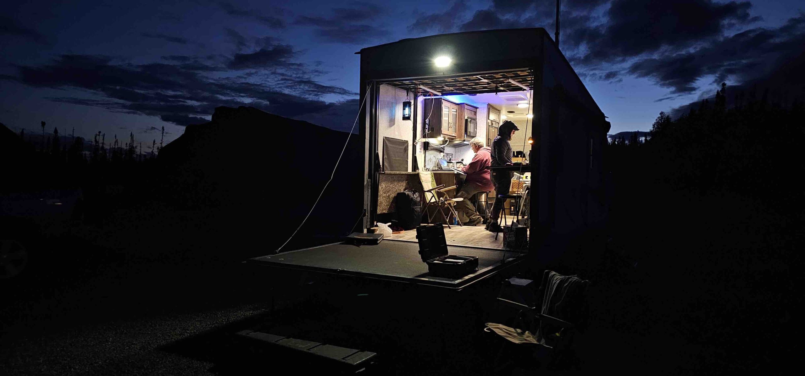
VAN DER BURG: We currently have two primary models. The smaller, fully electric UAV has a wingspan of around 10 feet and can carry up to 2.5 pounds of payload, which is suitable for thermal and optical sensors. This model was used for wildfire monitoring in Canada, where we equipped it with both a FLIR infrared sensor and an ISR camera. While payload affects endurance, it’s sufficient for long-duration monitoring.
Our larger model, the Ottano, is a hybrid UAV with a 20-foot wingspan, capable of carrying up to 110 pounds. It’s a VTOL [vertical take-off and landing] model, which offers versatility and robustness in various weather conditions. This UAV can carry advanced payloads, like dual Phase One 120 MP cameras or high-density LiDAR. With an endurance of up to eight hours, it can cover extensive areas and produce high-quality, dense data. Notably, it flies slowly and stably, allowing for superior data collection—key in both wildfire and asset inspection applications.
IUS: Let’s dive into payload configurations for wildfire monitoring and infrastructure inspection. How do you tailor the sensors to each mission?
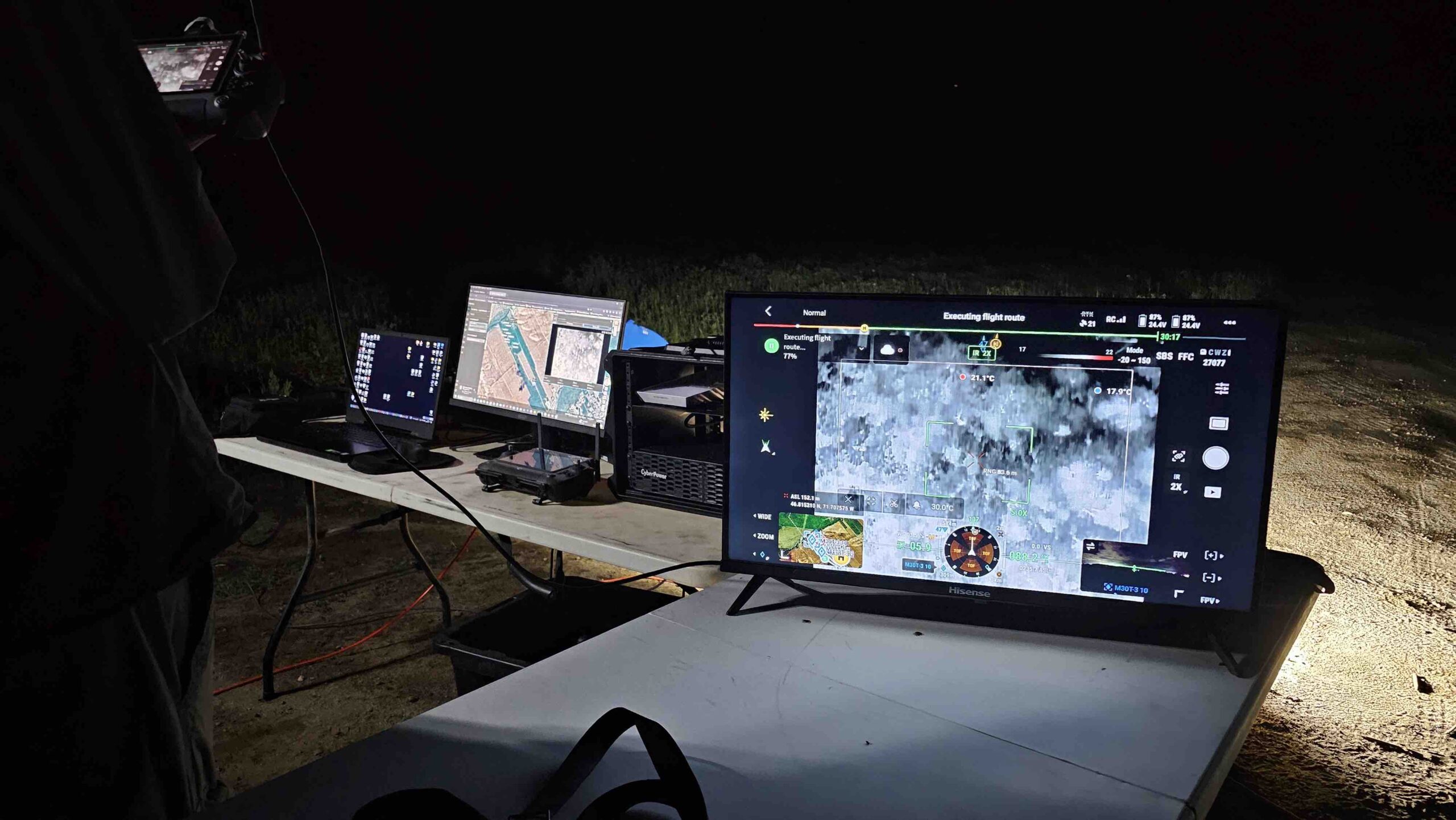
VAN DER BURG: In wildfire monitoring, we focus on thermal and infrared imaging to identify hot spots. For example, we use large ISR sensors and thermal cameras from providers like Trillium and ABT. These setups allow us to detect embers and residual heat sources, which is critical for post-fire assessments to prevent re-ignition.
In infrastructure inspection, our main payloads are LiDAR and high-resolution photogrammetry cameras, which help detect vegetation encroachment and assess structural integrity. The goal is to catch issues like vegetation growth near power lines—key risk factors in fire-prone regions. For example, after incidents like the PG&E fires, vegetation management has become critical for utilities. We use LiDAR to scan for encroachment and also assess fuel loads, enabling proactive measures like controlled burns in at-risk areas.
IUS: How does your data capture process work, and is there a software component for data analysis?
VAN DER BURG: Our focus is on data acquisition, not analysis. We partner with firms specializing in data processing, and our partners process the data we collect and deliver actionable reports to our clients. This partnership model allows us to concentrate on capturing the data effectively, while data scientists handle the analysis.
Our technology unlocks the capability for faster, safer and more reliable data capture. For instance, after a wildfire, our drones can fly at night and enter zones that would be dangerous or off-limits to manned helicopters. With thermal imaging and long-range ISR, our UAVs provide faster insights, enabling quicker response strategies that can help contain fires before they escalate.
IUS: How do regulatory requirements impact operations?
VAN DER BURG: Regulatory hurdles are a reality in every market, though Australia has been quite supportive in enabling BVLOS operations for larger UAVs like ours. The U.S. market is promising, especially with anticipated regulatory advancements on BVLOS in the near future. But the path to full-scale BVLOS deployment will involve incremental steps.
Currently, we’re expanding in Canada and the U.S. through partnerships with firms like Argent Tech. These regions align well with our core competencies in remote, large-scale data capture, whether for wildfires, mining or infrastructure. We’re also exploring Middle Eastern and African markets, which have similar requirements for remote area inspections.
IUS: What do you see on the horizon for UAS aiding wildfire prediction, response and asset inspections?
VAN DER BURG: We’re pushing forward, especially in wildfire and critical infrastructure management. While technology adoption can be slow due to budgetary and regulatory constraints, the need for advanced wildfire prevention and inspection solutions is only increasing. We believe these critical applications will accelerate public and industry acceptance of drones, as they see the tangible benefits in safety, sustainability and data quality. As the industry and public adapt, we anticipate a flywheel effect, where each successful deployment paves the way for broader acceptance and faster regulatory adaptation. Our team is committed to showing how UAV technology can address some of today’s most pressing environmental and safety challenges.


