INVOLI, a provider of surveillance data solutions, has announced the launch of an Altitude Surveillance Supplemental Data Service in Dallas, Texas. This initiative enhances safety and efficiency in the skies by providing real-time surveillance data for both manned and unmanned aircraft.
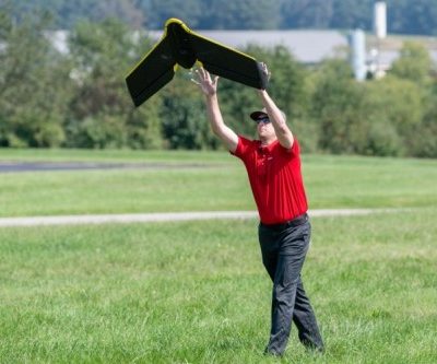
Situation awareness in crowded skies is fundamental for Beyond Visual Line of Sight (BVLOS) drone operations, to avoid risk of air encounters.
INVOLI.live is an air traffic detection platform that allows drone operators to detect low altitude airplanes and helicopters. A free web-based tool, it enables operators to make decisions like whether to take off or abort a mission. They can also know some information about the aircraft around like ICAO code, the position, altitude, speed, the last 20 minutes of its track, and know if the aircraft is in ascending or descending phase. They can also create traffic alerts when aircraft enter their specific area of intervention. A live coverage map increases confidence and assurance by showing the reliability of the detection.
“As the drone industry takes flight, we’re proud to be the pioneers in building the infrastructure that enables safer drone operations with enhanced situational awareness. And this data is equally important for optimizing airport operations on the ground.” says Manu Lubrano, Co-Founder and CEO of INVOLI.
“We are thrilled to offer these services to Dallas today and anticipate expanding to other US cities right around the corner.”
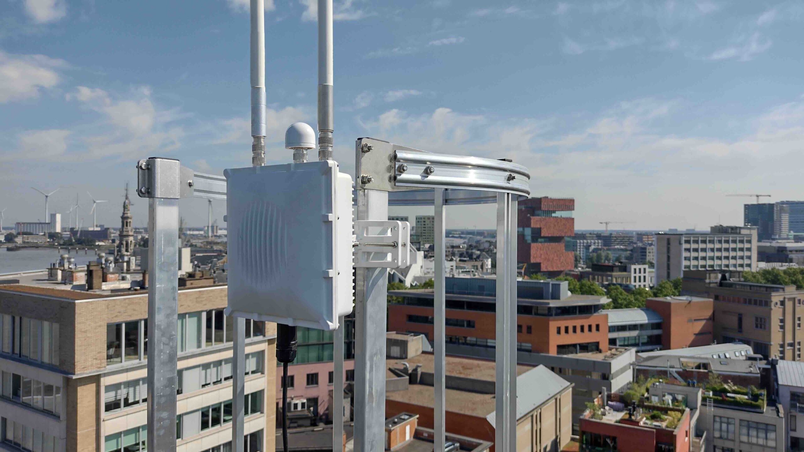
The web-based platform reads data from INVOLI proprietary network of air traffic receivers, strategically placed all across the Dallas Metropolitan Area over telecommunication infrastructure, covering an area of more than 3000 sq mi (DFW Mode C veil). This network receives signals from the aircraft’s transponders, through familiar technologies such as ADS-B and UAT, and even Mode S and Mode A/C thanks to Multilateration (on demand).