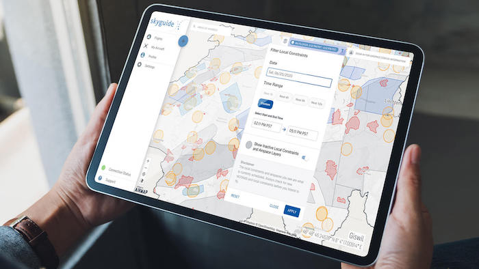
 AirMap, the leading digital airspace and automation company serving the drone economy, and skyguide, the Swiss ANSP, are providing UAS operators in Switzerland with official aeronautical information via skyguide’s new geo-awareness applications. These web and mobile applications provide UAS operators with information and guidance that promote safe UAS operations in a common unique digital format.The AirMap platform makes it easy for skyguide app users to view up-to-date contextual airspace information, including active schedules for specific airspace.
Airspace restrictions are not static: they can change according to the day, time, or season. But many airspace data sources are not dynamic enough to denote active and inactive temporal restrictions and supply operators with schedule information. As a result, other geo-awareness applications may wrongly label scheduled airspace restrictions as indefinite. This results in an inaccurate operating picture that limits UAS operators’ access to the airspace.
The AirMap platform converts authoritative airspace data into a 4D digital twin of the airspace. Because skyguide’s U-space applications are powered by the AirMap platform, users can see schedules affiliated with special use airspace, filter airspace according to date and time, and plan their missions accordingly.
“UAS operators can ensure that their flights are safe and compliant by downloading and utilizing skyguide’s U-space applications,” said Robert Fraefel, U-space project lead at skyguide. “The AirMap platform ensures that operators receive up-to-date contextual airspace information from Swiss authorities.”
“AirMap invests in data innovation in order to unlock airspace for safe UAS operations around the globe,” said Boris Lacroix, AirMap’s Senior Vice President of Product Management. “Skyguide and FOCA have again demonstrated global leadership in drone enablement by making 4D contextual airspace intelligence available to application users nationwide.”


