Phoenix LiDAR Systems has pioneered UAV LiDAR integration, real time point cloud visualization software and cloud-based post-processing solutions. The shiny units on the company’s booth table represented its latest compact, flexible, survey-grade 3D laser mapping models.
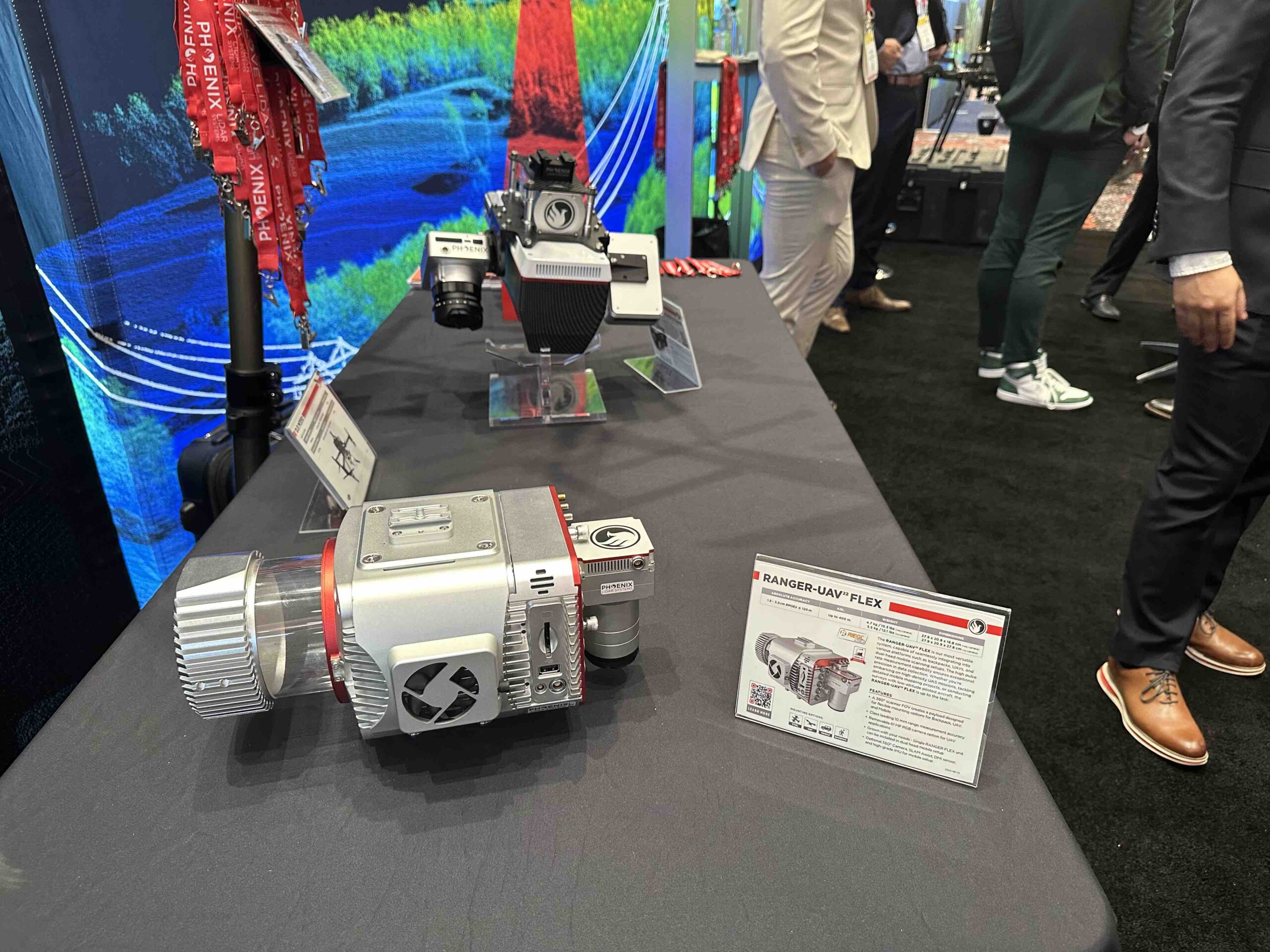
LiDAR data analyst Joel Holliman provided commentary. “From a hardware standpoint, we’re exhibiting the REVO R6 in the FLEX. That’s a new system we just released. This camera is removable—that’s why we call it a FLEX—it can go on a vehicle or on a UAV. It’s kind of seamless. You can barely tell that this is an integrated box.”
As for LIDAR processing software, Holliman cited continuous improvement. “You can create manual corrections with our strip alignment now. If you can identify a target in the field that you have a control point over, you can select that in the software, and the software will respect that and adjust the data accordingly.
“It’s been about nine months since we released SpatialExplorer 8,” he continued. “That was a really big release.” That system provides expandible tools for real time streaming point clouds, monitoring and other in-field quality control, to which Holliman added “a better user experience: there’s a toolbar, you basically follow the workflow from left to right, and we’re better at multithreading now. If you have a large data set, a large cloud, we can split that up into a cloud route and process that quicker.”
The overall LiDAR space is moving forward with AI, classification and software integration, Holliman noted.
“We have some new classification too,” he said, “like classifying pedestrians and vehicles out of data sets. If you have a mobile scan and drive that highly populated area, you have a ton of pedestrian noise. We have filters for that.”
Holliman cited another perceived Phoenix advantage. “We sell hardware and software, and a lot of people are either one or the other, and a lot of people who do both aren’t very good at doing both. And I think we do both pretty well.”


