 We all owe the Air Force thanks for many things—like inventing GPS, breaking the sound barrier and winning wars for us. However, the greatest thing the Air Force did for our country in October 2017 was kill a bunch of Carolina chickens back in 1943. If it wasn’t for the tragic deaths of 150 of Thomas Lee Causby’s chickens due to extremely low Army Air Force bomber flights, we wouldn’t have had President Trump’s order to the FAA to experiment with local regulation of low altitude drone flight. How did Causby’s chickens start all this? Well, our brave boys were flying bombers as low as 83 feet, which was scaring Causby’s chickens so much that they ran into walls and killed themselves. As any red-blooded Carolina chicken farmer would do, Causby sued the government and the case eventually made it to the Supreme Court. The Air Force made the same argument the Federal Aviation Association (FAA) makes to claim all airspace from the ground to outer space—that Federal preemption of all airspace is vital to air safety/military readiness and they had a perfect right to fly over those chickens at 83 feet. The court didn’t agree. They ruled the Air Force violated the Fifth Amendment’s provision against taking private property for public use without just compensation. The United States Supreme Court held the Air Force had occupied Causby’s property by the flight of airplanes, “which skim the surface but do not touch it, is as much an appropriation of the use of the land as a more conventional entry upon it.” The Supreme Court put a floor on Federal airspace somewhere between 83 feet (the lowest flight) and 365 feet (the height determined as “public easement”). Causby didn’t completely stop the debate over federal versus local control of very low altitude airspace because the FAA claims Causby just applies to private rights versus state/local airspace regulation, but it did give local control of wings—albeit just chicken wings.”
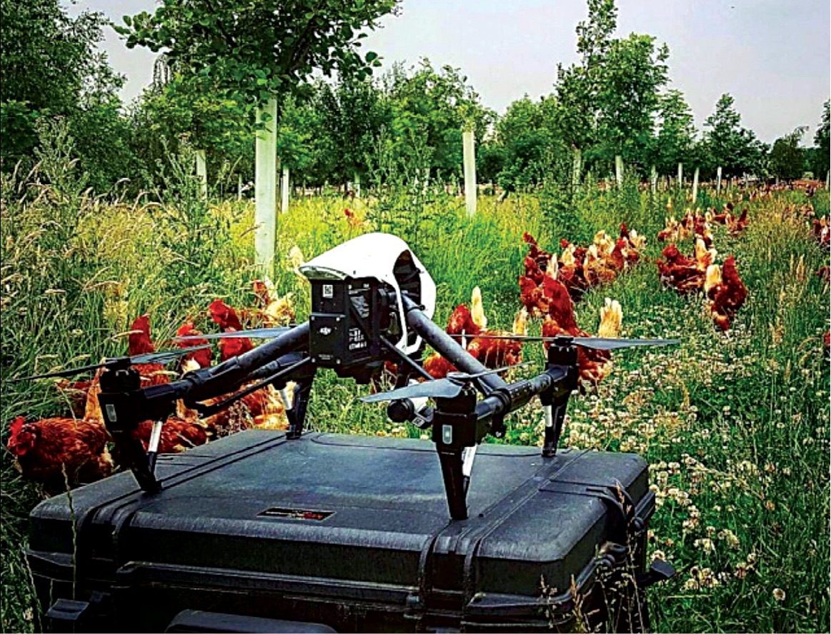
Pretty meaningful (and expensive) chickens, eh?
The Big Event
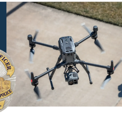
Up until President Trump’s BIG EVENT in October, a sizable percentage of commercial drone operators, the FAA, and Association for Unmanned Vehicle Systems International (AUVSI) had been acting like Causby’s chickens never made their tragic sacrifice. “Federal preemption” was their war cry and profit/power were their motives. The package delivery crowd has been wedded to federal preemption of all airspace because they fear local involvement in drone operations might make a complicated patchwork of local laws with which to comply. Berkley might kick them out of town completely. Austin would make them tie dye their drones. Alabama would make it illegal to film football practice (except over Mississippi or Louisiana). They reasoned it would be much better to deal with a single FAA than potentially thousands of localities. The FAA ignored Causby’s gallant chickens because, trust me after 30 years in the U.S. Air Force, I KNOW the FAA will fight to the end over every foot of airspace. AUVSI was following the money and supporting the commercial drone industry until a convenient flip flop a week before the BIG EVENT.
What was the BIG EVENT? It was President Trump himself riding to the rescue of stressed chickens nationwide by releasing his “UAS Integration Pilot Program” (IP2) initiative to investigate—drum roll please—how to give state, local and tribal authorities a role in drone regulation below 200 feet. Impressive, eh?
A Closer Look at IP2
Under IP2, “Jurisdictional Authorities” can team with drone operators to get technical support from the FAA (and ASSURE, the FAA’s drone research center of excellence) to figure out what role locals have in managing drone operations over their jurisdictions below 200 feet. The FAA will do its best to permit liberal waivers to key drone issues like beyond line of sight operations (BLOS), multiple aircraft operations by a single pilot, night operations and operations over people, etc. Trump sealed the deal by putting Secretary Elaine Chao at the Department of Transportation firmly in charge with direct interface with a team in the White House Office of Science and Technology Policy. The President was adamant that at least five teams would be selected, but let it be known that he’d be happy if hundreds of teams made the cut.
Done right, local authorities can vault ahead of the rest of the nation to make their state or city the best regulated, most drone friendly place in the country. Las Vegas can take the lead to partner with their casinos, hotels and police to secure high rise buildings around events. Mississippi can partner with their oil companies to set up a BLOS corridor from the coast to oil rigs offshore. Instead of using homeless people as hot spots during the SXSW music festival (yeah, someone did that in 2012), Austin can hire students to fly drone hot spots over crowds using procedures CNN developed in the Pathfinder Program. What’s illegal to do above 200 feet could be legal in Nevada, Mississippi and Texas under IP2. Perhaps states can explore concepts like paying for their programs by licensing companies and remote pilots to engage in certain operations (BLOS? Operations over people?) by collecting enforcement fees from scoff laws and, who knows, maybe even selling transit corridors to the highest bidder. IP2 has a three-year limit, potentially giving winning local authorities a massive lead in attracting drone businesses over the rest of the country.
The heart of the matter is that Trump (and Causby’s heroic chickens) are taking the country from managing low altitude drone operations like we manage manned aircraft into potentially a different sort of management system. Will local management be like the FAA, but faster? Will we manage low altitude drones like we do cars and highways? Will this end up as the dreaded patchwork of laws with some localities making it harder to fly drones? Will localities find the technical policy support they need to write rational low altitude drone laws?
I think we’ll end up with a hybrid local drone regulation system that takes the best of both worlds from manned aviation and highway management systems. Smart localities will follow aviation guidelines on airworthiness, strict safety protocols tracked by web-based systems and use of an unmanned traffic management (UTM) system. The smartest localities will improve on FAA unmanned standards. Want to fly your drone below 200 feet in Orlando? Make sure you have a Florida drone license from a certified Florida drone training school that requires you to demonstrate flying skills instead of just taking an online test like the FAA requires. You’ll need a UTM subscription and the latest geofencing data to fly in Florida. Disney airspace is a Florida “no drone zone” and the Florida Highway Patrol WILL ticket you for violations.

What We Can Learn from Our Highways
The interstate highway system is a great model for local drone regulation. We tend to forget why driving is almost the same from state to state because the states harmonized their laws decades ago. Other than slightly more potholes and Louisiana state-specific “gator crossing” signs, there’s not much difference crossing over the Sabine River from Texas into Louisiana. Everyone uses the same stop signs and keeps roads in good repair (mostly). We may not get along with Alabama during football season, but our state roads in Mississippi match up just fine with the state roads in Alabama. The road signs are the same and the speed laws are nearly the same. ‘Bama will ticket you for texting and driving, but for some reason you can still do it in Mississippi.
The real advantage in the IP2 program might go to compacts of states or cities using the interstate highway example. Maybe the key players won’t be individual states but states who band together to harmonize their drone laws like they harmonized their driving laws. Maybe the southern states will set up interstate BLOS corridors across their borders like they do state roads. It might be legal to fly BLOS below 200 feet from Natchez to New Orleans with harmonized Mississippi/Louisiana drone laws years before it’s legal to do it at 400 feet with federal rules. Heck, the Mississippi River would make a GREAT interstate drone transit corridor.
What IP2 Means for the Future
All in all, I think the IP2 initiative will be a boon to early adopters and an even bigger boon when the rest of the nation joins in. I know thoughts of a patchwork of local laws causes angst to many in the commercial drone business, but let’s be honest—they were never going to be able to force their way into local markets. It is bad business to begin with, and the ghosts of Causby’s chickens have always given local authorities a legal argument to regulate at least some airspace. IP2 formalizes this and gives us an innovative, and hopefully faster, way to work out the future. I know I’ll be reaching out to several localities to lend a hand where I can.
I say we all eat some Carolina BBQ chicken this month in honor of the real reason we just took a giant leap forward in droning!