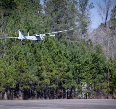
Propeller, a cloud-based worksite mapping and drone analytics company, today announced a partnership with GEODNET, to elevate its survey-grade mapping solutions. By integrating GEODNET stations into the Propeller Corrections Network, Propeller can now deliver more precise data to its customers in the construction, mining, aggregates, and waste management industries, expanding high-precision coverage to more global worksites.
Propeller has developed a fully integrated PPK mapping workflow that works across a wide range of commercial drones. Using AeroPoint GPS-enabled smart ground control points and Propeller’s cloud-based platform, surveyors and contractors can visualize geospatial data from one central hub. Propeller’s solutions empower them to capture reliable, verifiable data, enabling data-driven decisions and reducing costly mistakes.
GEODNET’s global network of over 9,000 registered full-constellation GNSS reference stations enhances Propeller’s offering by providing the GNSS corrections data needed to align AeroPoints and drones to thousands of published coordinate systems.
“The Propeller Corrections Network enables high-accuracy map creation in thousands of published coordinate systems and is utilized by customers globally. By incorporating data from GEODNET’s rapidly expanding network of full-constellation GNSS stations, we’re broadening and strengthening the Propeller Corrections Network. This partnership underscores our commitment to delivering centimeter-level accuracy in even more locations across the globe,” said Jack Nachazel, Product Researcher at Propeller.
“On behalf of the GEODNET Foundation and Community, we are honored that the GEODNET Network will be integrated into Propeller’s solution stack,” said Mike Horton, Project Creator of GEODNET.
Propeller has completed the initial integration of GEODNET stations into its network, allowing both existing and new customers to benefit from these enhancements immediately.
Wingbits and GEODNET Enter Partnership to Revolutionize Global Aviation Flight-Tracking Infrastructure
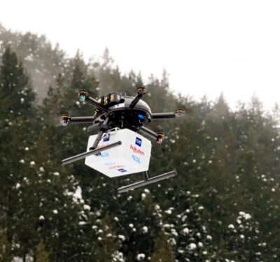
Wingbits, a decentralized flight-tracking network service, is announcing a partnership with the GEODNET Foundation as well, to develop and commercialize professional-grade terrestrial flight tracking nodes.
To date, the Wingbits network has grown to over 2000 ADS-B stations globally, and it is a rapidly growing Decentralized Physical Infrastructure Network (DePIN) targeted at providing high-quality Automatic Dependent Surveillance–Broadcast (ADS-B) and other flight tracking data products. Unlike hobbyist driven ADS-B networks, Wingbits station hosts receive blockchain-based financial incentives in exchange for the maintenance and operation of flight tracking hardware.
Under the partnership agreement, GEODNET and Wingbits will jointly qualify new professional-grade flight tracking nodes to provide reliable and trusted ADS-B and RemoteID tracking data. The two nodes each are outdoor-qualified with multiple networking options as described below:
| Specification | WB200 | WB300 |
| Tracking Hardware | ADS-B, Drone RemoteID | ADS-B, Drone Remote ID, and Triple-Band GNSS Signals |
| Token Rewards | Wingbits | Wingbits + GEOD |
| Location Capabilities | Secure Location Element | Secure RTK Triple Band GNSS |
| Networking | WiFi, Ethernet and Optional 4G MiniPCIe Module | WiFi, Ethernet and Optional 4G MiniPCIe Module |
| Antennae | GPS and ADS-B Included | Triple-Band GNSS and ADS-B Included |
| Remote ADS-B Antenna | TNC Connection | TNC Connection |
“The ADS-B standard is a critical element of modern air traffic monitoring and Beyond Visual Line of Sight (BVLOS) drone operations; however, today’s terrestrial ADS-B networks rely on crowdsourced data with limited coverage. For the past year Wingbits has been rapidly expanding a web3 token-incentivized network of almost 2000 ADS-B stations, and this partnership represents a major step forward for secure and professional ADS-B infrastructure,” said Robin Wingardh, CEO of Wingbits.
“We are thrilled Wingbits has decided to partner with the GEODNET Foundation for accurate Proof-of-Location services and is pleased to partner on the development of new professional-grade ADS-B and ADS-B plus RTK nodes,” said Mike Horton, Project Creator of GEODNET.
Wingbits anticipates the nodes to be available for purchase on October 1st, 2024, and it aims to grow its network to over 10,000 stations by the end of 2025.