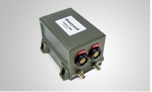
Honeywell recently launched the HGuide n580, which is the company’s first industrial focused navigation solution that uses precision inertial measurement technology and Global Navigation Satellite Systems to improve location accuracy, even when facing natural and man-made obstacles.
The unit is about the size of a deck of cards and comes equipped with the capabilities necessary to accurately navigate in areas with limited satellite coverage, such as densely populated cities with buildings, underground tunnels, and multi-layer freeway stacks or bridges, according to a news release.
City infrastructure, such as buildings and tunnels, can temporarily block the signal between GNSS unit receivers and satellites, creating areas often referred to as “urban canyons.” The company’s inertial measurement unit technology combined with GNNS acts as a backup solution, meaning the loss of GNSS signal caused by an urban canyon does not result in a complete loss of navigation.
“The blend of inertial and satellite navigation capabilities provided by the HGuide n580 is especially important where precision is required in demanding environments — for example, autonomous cars traveling in cities, where our technology can extend the accuracy and performance of navigational systems while keeping passengers safe,” said Chris Lund, senior director, Navigation and Sensors, Honeywell Aerospace, according to the release. “Honeywell’s history and expertise in navigation technology enables customers to implement this new wave of advanced technology into their own applications and operations.”