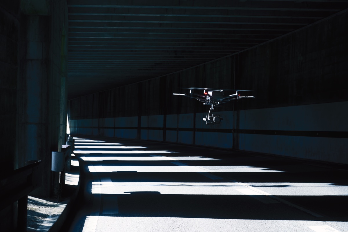
Inertial Labs has announced a partnership with Sony to integrate state-of-the-art LiDAR technology into Sony’s Airpeak drone. This collaboration aims to enhance the drone’s applications in surveying, mapping, and cinematic videography, aiming to bring very high accuracy and detail to aerial data acquisition.
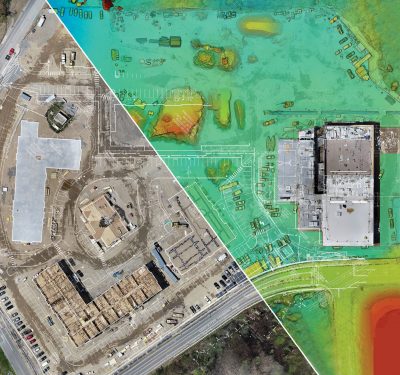
The partnership will see the incorporation of advanced LiDAR systems, developed by Inertial Labs, into Sony’s flagship drone platform. This move is expected to redefine industry standards by significantly boosting the Airpeak’s capabilities in producing detailed aerial maps and 3D models with exceptional precision.
Kento Sayama, Deputy Vice President of Imaging Solutions at Sony Electronics, emphasized the synergy between Sony’s vision for Airpeak and Inertial Labs’ LiDAR and sensor technology expertise. “This collaboration not only aligns with our commitment to innovation but also sets a new standard for what is achievable in drone technology, enhancing the toolset available to professionals in construction, agriculture, and filmmaking,” Sayama stated.
Jamie Marraccini, CEO of Inertial Labs, expressed excitement over the partnership, viewing it as an opportunity to push the envelope of drone application possibilities. “Our collaboration with Sony represents a shared dedication to advancing the industry and exploring new frontiers in drone technology applications,” Marraccini commented.
The integration of Inertial Labs’ LiDAR technology into Sony’s Airpeak drone is anticipated to be a pivotal advancement, offering professionals across various industries a more efficient workflow and enhanced data accuracy.
Image: Inertial Labs