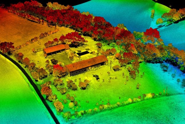
Photo courtesy of RIEGL USA.
LiDAR has introduced pulsed-light precision and project-specific flexibility across sectors from agriculture to line inspection. Maximizing its deployment can yield benefits from improved detection to canopy penetration, greater safety to reduced cost.
This upcoming free webinar will explore LiDAR’s technical capacity, product lines and use cases alike. The 90-minute event will take place on Thursday, March 21, 2019 1:00 PM to 2:30 PM EDT.
TECHNOLOGY: Experts will address pure digital LiDAR signal processing, unique methodologies for resolving range ambiguities, multiple targets per laser shots, optimum distribution of measurements, calibrated amplitudes and reflectance estimates, as well as the seamless integration and calibration of systems.
PRODUCTS: RIEGL ULS / USA’s UAS Segment Manager My-Linh Truong will outline the company’s high-end product line, explore the benefits of RIEGL Waveform LiDAR and unmanned LiDAR solutions, and offer best-for-the-job analysis of platforms, scanners and cameras. You’ll gain insight into rich-data capture and reference databases for base maps.
USE CASES: From Alaska to Florida, RIEGL unmanned solutions are producing high-accuracy data via numerous applications. Representatives of the U.S.’ largest geospatial solutions provider and a multidiscipline engineering and consulting design firm that deploys a fleet of UAV platforms will describe real-world, tangible UAS / LiDAR benefits, from resolution to ROI.
Register now for Thursday, March 21, 2019 at 1:00 PM to 2:30 PM EDT. The webinar is co-sponsored by Inside Unmanned Systems and RIEGL.