Maxar Intelligence, a provider of secure, precise geospatial insights, has announced a strategic partnership with Saab to jointly develop next-generation multi-domain battlespace solutions, with a specific focus on advanced space-based C5ISR systems (Command, Control, Communications, Computers, Cyber, Intelligence, Surveillance and Reconnaissance) for the digital battlefield and GPS resilience for autonomous drone systems.

These solutions will help Europe accelerate the development of more advanced sovereign space-based capabilities.
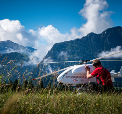
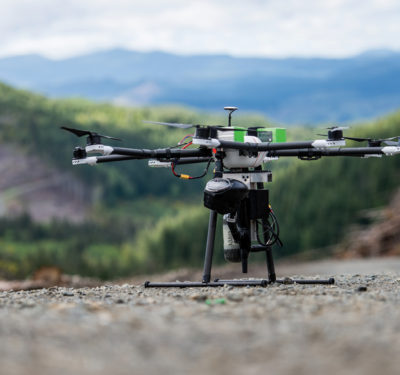
Through a Teaming Agreement, Saab can access Maxar’s geospatial intelligence and advanced mission products like Raptor, as well as draw upon the company’s technical expertise. The deal expands on Maxar’s existing relationship with Saab, which has most recently focused on deploying Maxar’s Raptor product for autonomous drone navigation and operation in GPS-denied environments.
“This partnership will bring together Maxar’s industry-leading geospatial intelligence products with Saab’s highly advanced defense systems to solve some of the most complex tactical and operational challenges across the battlespace today—from powering more intelligent, real-time multi-domain command and control systems to helping autonomous systems overcome GPS jamming,” said Dan Smoot, Maxar Intelligence CEO. “The deal also reflects the growing realization that geospatial intelligence can go beyond powering analyst workflows to powering mission-focused software products deployed at the tactical edge.”
“And, most importantly, our partnership with Saab underscores Maxar’s deep commitment to supporting our international customers as they continue to build up their sovereign defense capabilities, both in Europe and across the globe,” Smoot continued.
The agreement builds on successful joint testing of Maxar’s Raptor software product. The technology was tested with Saab in multiple countries, including a demo in real-world conditions where the product demonstrated the ability to accurately extract ground coordinates within an accuracy of less than 2 m.
“Our collaboration with Maxar represents a significant leap forward in our commitment to use information from the Space domain and thereby enhancing the strategic defense capabilities of Europe and beyond,” says Görgen Johansson, head of Saab’s Dynamics business.
“By integrating Maxar’s high-end geospatial insights and satellite capabilities with our advanced defense systems, we are setting new standards in the effectiveness and reliability of military operations across multiple domains.”
Maxar’s geospatial intelligence products will also help Saab build more advanced C5ISR solutions through secure access to the most advanced commercial satellite imagery in near real-time. Maxar’s global 3D terrain data unlocks unique opportunities for real-time multi-source data fusion, enabling truly joint multi-domain operations, seamless interoperability between autonomous systems and enhanced mission coordination.