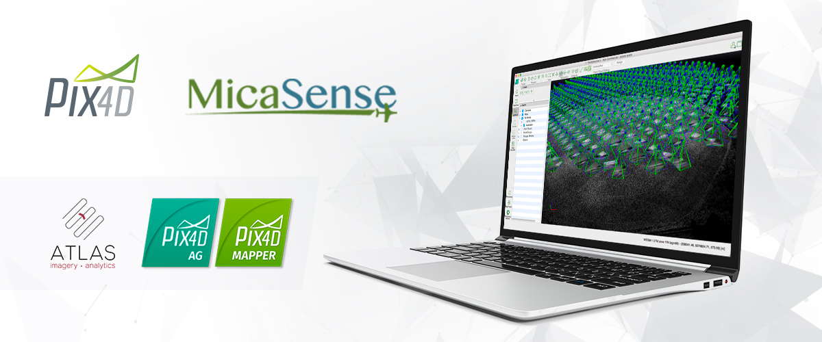
MicaSense Atlas is now integrated with Pix4D desktop software.
The new “Upload to Atlas” feature enables users to share the processed results with MicaSense Atlas directly from the Pix4D user interface, according to a news release. The feature will be available beginning August 8.
“Our customers value Atlas as an analytics and collaboration platform,” said Gabriel Torres, CEO of MicaSense, according to the release. “They also tell us that processing data locally is important to them and their operations. By combining the processing capability of Pix4D’s software with the power of the MicaSense Atlas analytics, we provide a solution that optimally fulfills these needs.”
MicaSense will now distribute yearly and perpetual licenses of Pix4Dag and Pix4Dmapper Pro.
“Pix4D’s agricultural focus has always been to provide the most radiometrically and geometrically accurate results possible,” said Jorge Fernandez, Solution Manager for Agriculture at Pix4D, according to the release. “We are happy to open this up to MicaSense Atlas users. This new button simplifies everything for them, we are really excited to make this happen.”


