On Monday, 21st June, 2021 OxTS launched the latest version of their LiDAR Georeferencing software – OxTS Georeferencer 1.4.
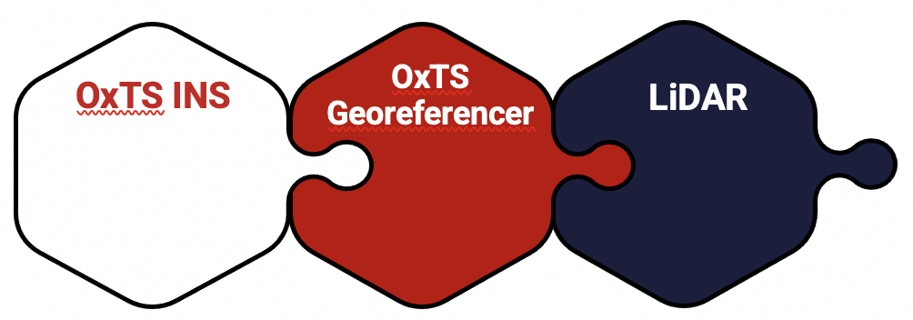
OxTS Georeferencer fuses position, navigation and timing (PNT) data from an OxTS INS with raw LiDAR data to output highly accurate 3D pointclouds. Furthermore, the software uniquely makes use of navigation diagnostic data that provides surveyors with LiDAR point error estimation. This error estimation allows surveyors to focus their analysis on viewing parts of their survey based on estimated errors in points. This helps users to understand if there are any parts of a survey that need to be looked at again.
As an added feature there is also an optional boresight calibration tool that uses data to calibrate the angles between the navigation and survey devices – click here to learn more.
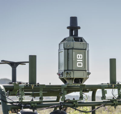
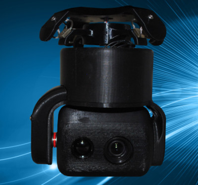
Rather than relying on surveyors to integrate their chosen LiDAR themselves, OxTS have done the work already and pre-integrated a number of sensors natively. Previous versions of OxTS Georeferencer have seen some of the most widely used sensors from Velodyne, Ouster and Hesai integrated (see OxTS Georeferencer LiDAR integrations).
Having these pre-existing integrations already available ‘out of the box’ in OxTS Georeferencer means that surveyors can focus on surveying rather than spending time ensuring the two datasets work in tandem seamlessly.
OxTS Georeferencer 1.4
So, what’s different in OxTS Georeferencer 1.4?
The release of version 1.4 of OxTS Georeferencer sees the integration of new LiDAR sensors from Hesai. A previous version of OxTS Georeferencer (released in November 2020) saw the first integration of a Hesai LiDAR into the software – the Pandar40P.
Fast forward to June 2021 and seven new sensors from Hesai are being integrated. These are the:
- Pandar40 (beta)
- Pandar40M (beta)
- Pandar64 (beta)
- PandarQT (beta)
- Pandar128 (beta)
- PandarXT-16 (beta)
- PandarXT-32 (tested)
Further to the integration of new LiDAR models, OxTS Georeferencer also sees several new developments to enhance the overall user experience of the software and to make it more intuitive.
3D Hardware Setup Viewer – To help input the correct relative rotation angles, specific LiDAR models will be available to view depending on the surveyor’s choice of LiDAR. The model will represent the LiDAR in appearance, size and orientation within OxTS Georeferencer with respect to the OxTS INS for quick and intuitive configuration.
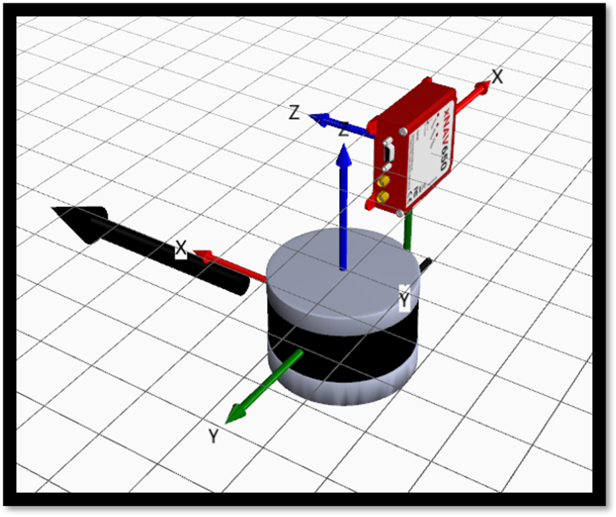
OxTS Georeferencer Hardware setup viewer: OxTS xNAV650 INS alongside Hesai LiDAR sensor
Time overlap chart – The release of OxTS Georeferencer 1.4 will see the reintroduction of a time overlap chart. The latest, enhanced chart will allow surveyors to visualise their survey route on a map and select the specific start and end times of their survey. This will enable surveyors to control the part of the route they would like to view, with the added ability to georeference only this particular part of the survey.

OxTS Georeferencer: Time overlap chart
What does this mean to me?
Different LiDAR sensors have different capabilities. Some are preferential for surveying large areas (such as a road survey), and others may be better suited to Building Information Modelling (BIM) or autonomous vehicle aiding.
If you are a surveyor already using, or wishing to use, a Hesai LiDAR to conduct a survey, you now have a lot more choice when it comes to the tools you use to survey your environment.
Whatever survey you’re tasked with conducting, you now have the ability to build a full survey solution consisting of an OxTS INS, georeferencing software AND the LiDAR sensor fitting for your application – with much of the integration work already taken care of.
The LiDAR CAD models will prove a useful addition as they will make it easier for surveyors to calculate and input accurate LIR angles into OxTS Georeferencer, further streamlining the survey process.
The time overlap function will provide surveyors with even more flexibility – this time after the survey. Giving surveyors the ability to choose the start and end times of their survey, and therefore which part of the survey to georeference, enables full control of what to present to their peers.
These new features, coupled with those already present in OxTS Georeferencer (optional boresight calibration and point uncertainty analysis) give surveyors the flexibility and control they need to produce the best possible LiDAR surveys.
Learn more about OxTS Georeferencer, or alternatively Contact OxTS who will be happy to answer your questions.