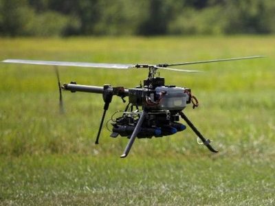
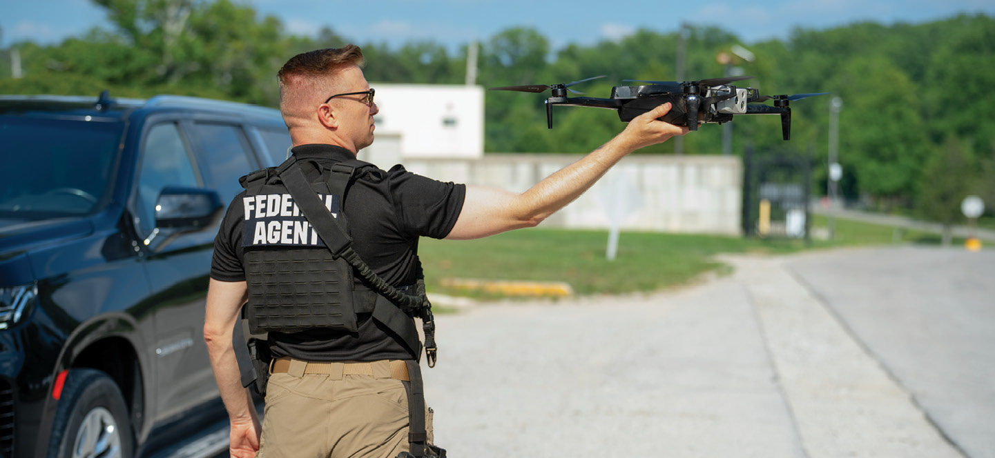
Drones have become first-responders.
Imagine a shooting occurs at 1 o’clock in the morning. Shot spotter technology sends an automated alert into the local police department’s real time crime center, which relays the information to the agency’s remote operations center. There, a remote pilot in charge (RPIC) reviews and approves flight parameters and launches a Skydio X10 from the Skydio Dock.
The drone automatically flies off the rooftop. Using locational information in the Skydio Cloud, the X10 arrives on scene first and orbits in the location of the Shot Spotter coordinates. All the while, it streams a live video feed and shares it, along with related information from a 911 bystander call, with responding patrols and the patrol supervisor.
On scene, using the X10’s FLIR camera and an augmented reality overlay, the flowing video enables everyone concerned to see the victim lying on the ground as well as a person fleeing the scene through nearby woods. The supervisor alerts local emergency medical services (EMS) and relays a tactical plan to his en route officers. The RPIC navigates the X10 to pursue the perpetrator. Flying below the tree line and using an attached spotlight and a microphone, the RPIC orders the perpetrator to stop. On foot patrolmen arrive and make the arrest with no further incident.
This scenario is hypothetical; these capabilities are not.
Responding to the Call
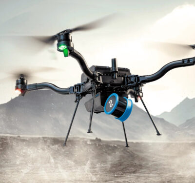
Noreen Charlton, marketing for public safety at Skydio, said more than 320 public safety agencies across 50 states have built their drone-as-first-responder (DFR) programs using Skydio’s technology. The X10 is the company’s latest drone iteration.
Deepu John, Skydio Solutions Engineer, elaborated that the company took three years to develop this new autonomous drone, specifically using feedback from public safety customers and emergency responders. “We heard you loud and clear,” he said. “You wanted something that could deploy quickly—even at night—have long flight times and get information to decision makers instantly.”
Skydio answered these demands.
Real Capabilities
The Skydio X10 blends advanced autonomy, leading-edge sensor technology, versatile operation and a compact design.
In terms of autonomy, Skydio enhanced the X10 significantly with its new NightSense to enable 24/7 operations. Added to this, onboard AI helps to plan routes, including around obstacles after it detects them. These advancements enable even novice operators to fly the most complex missions, as the drone can confidently navigate in GPS-denied or high electromagnetic interference (EMI) environments.
Skydio Connect connectivity also ensures uninterrupted communication for distances up to 7.5 miles. Further extending the range for communications, the Skydio Connect 5G covers an unlimited range in areas with cellular coverage and Skydio Connect MH provides for connectivity in contested environments.
On top of these features, the Skydio X10 platform integrates leading-edge data capture high resolution cameras. The X10 is the first drone to feature Teledyne’s FLIR Boson+ Radiometric Thermal Camera. With resolutions reaching up to 640×512 and thermal sensitivity of <=30mK, it excels in detecting minute temperature differences. The X10’s enhanced sensor package also includes a 64MP narrow camera for detailed long-distance imaging, a 48MP telephoto camera for extended standoff distances and a 50MP 1″ wide camera optimized for low-light conditions.
“The reason we fly is to get good data,” John explained. “Our sensor package includes a 64 megapixel narrow angle camera. Coupled with the FLIR radiometric camera and other sensors, you can read a license plate from 800 feet away, at 150 feet above ground level. This would be impossible to detect otherwise,” he said.
The drone can carry up to four payloads simultaneously. It comes with a speaker and microphone, RTK GPS module (Real-Time Kinematic, which enables high precision GPS workflows) and a spotlight to enable NightSense modes.
On the software side, the X10’s capabilities leverage Skydio’s Fleet Manager (a centralized hub for tracking equipment, operators and flights); Media Sync (secure and instant data transfer to the cloud); Live Streaming; Map Capture (stitches images to create detailed 2D maps; Scout (for threat identification); Crosshair Coordinates (ground-level coordinates and distance calculations); Data Storage; Remote Ops (schedules fully autonomous flights); Remote Flight Deck (to remotely control drone); and 3D Scan (generates accurate digital twins).
Operationally, the X10 additionally offers flexibility to allow operators a choice of various control options, from handheld controllers to remote browser access, with easy handoffs between on-site and off-site operators.
Besides the X10’s ability to integrate with Skydio’s entire ecosystem of hardware and software, it comes as a backpack-portable device and can fly for 40 minutes at a time, across a wide range of public safety operations.
Real World Impacts
The Skydio X10 autonomous drone targets various missions including: DFR, search and rescue, incident overwatch as well as firefighting and crime and accident scene reconstruction.
For crime and accident scene reconstruction specifically, the X10 drones come equipped with Skydio Map Capture and 3D Scan functionalities. These allow users to swiftly generate 2D images and 3D point clouds for diagramming and forensic analysis/reconstruction purposes with courtroom-ready quality. After on-site personnel establish a perimeter, the Skydio drone can autonomously conduct a quick, precise and efficient scan. This automated process captures detailed imagery while significantly reducing the time required to secure a scene. This minimizes disruptions and enhances safety. The Miami Beach Police Department recently deployed Skydio X10s for traffic monitoring, overwatch for large-scale local public events and accident reconstruction.
John elaborated, “Our sensors, integrated with our autonomy and other capabilities such as our 3D Scan, create an unparalleled ability to capture photogrammetry data for everything from accident investigations to crime scene evidence collection. Instead of flying a lawn mower pattern, our drone can fly within feet of an accident or incident scene. This builds more reliable and accurate 3D models.”
The X10’s capabilities expand the utility of this drone across diverse mission types and environments.
Build It; They Will Come
Speaking of building, not all public safety programs are built alike. Skydio has designed drones for all of them.
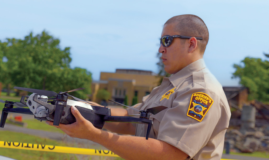
For drone newcomers, John recommends organizations start building their programs with their specialized units. He noted that today about 8% of law enforcement agencies use drones. The majority of these use drones for SWAT, crash teams or search and rescue.
The next level, to John, consists of patrol-led drone deployment. For example, the Oklahoma Police Department has 80 drone-trained officers out of 600 patrolmen. “They put them in trunks across all shifts and squads so they can deploy them on any service call,” he said. The officer on the scene acts as the pilot.
The third step involves patrol-led DFR. “This allows the same officer to get to the scene and literally just turn the drone on to launch it. The drone could be piloted from an ops center through 5G connectivity. This allows the patrol officer to get back to other work,” John explained.
The final and ultimate iteration would be dock-based DFR, in which agencies place docks in pre-positioned locations and the RPIC can deploy it remotely, such as in the introductory hypothetical.
Today, Skydio can support programs at each of these levels with its autonomous drones. The company plans to continue future iterations as it receives additional feedback from its public safety clients.
“Autonomy is our expertise and will always be a core focus for us,” Charlton said. “We intentionally designed X10 with an incredible amount of compute power based on customer feedback so development could continue on its autonomy and AI capabilities. We plan to continue to evolve our platform with new features in this same way.”
Stay tuned for more, as Skydio aims for even higher levels of autonomy to change the game for public safety professionals.