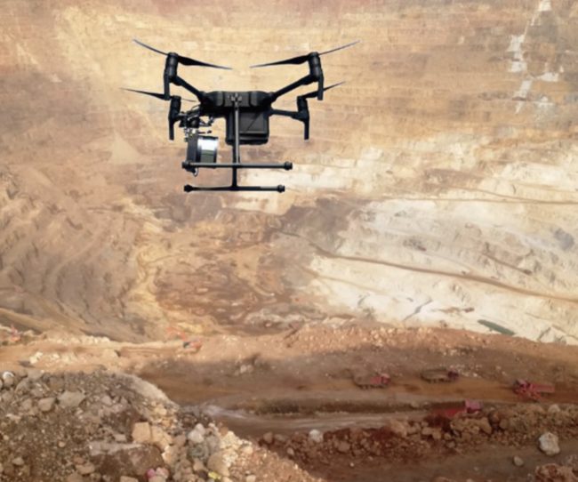
Photo courtesy of Applanix.
The Genius drone LiDAR system combines SureStar’s UAV-based LiDAR sensor with Applanix’ APX OEM module for a lightweight UAV mapping solution designed to achieve the perfect balance of weight, cost, and performance.
In 2017 it became clear that the airborne mapping and surveying industry was moving toward LiDAR sensors onboard UAVs; these solutions can be very cost-effective for highly accurate and fast terrain data gathering. LiDAR has a number of advantages–including the capability to penetrate vegetation cover and provide real-time data–making it the preferred solution for users who regularly perform corridor mapping, and the mapping of hard-to-access areas, according to the Applanix website.
SureStar, a leading LiDAR manufacturer for both mapping and autonomous vehicle LiDAR sensors, began developing a UAV LiDAR project back in 2016 and has now developed a UAV-based LiDAR sensor.
However, there are considerable challenges associated with UAV LiDAR systems, including potential financial losses associated with: UAV crashes, flight-time limitations due to heavy payloads, and poor point cloud quality. Applanix and SureStar began to work together in 2018 on the Genius drone LiDAR system in order to provide a viable solution.
Solution
The Applanix APX UAV GNSS-Inertial solution is a complete hardware and software solution suitable for even the smallest of UAVs. It is comprised of a single-board OEM module (6*6.7 cm, 60 grams), which contains a survey-grade multi-frequency GNSS receiver and high-performance MEMS inertial sensors. Also included is Applanix’ POSPac UAV software for post-processing the collected data.
SureStar R-Fans laser scanner weighs 738 grams, yet is able to detect objects with 10% reflectivity at 200 meters. UI-RF software comes with the R-Fans scanner to enable data fusion of flight trajectory and point cloud output in LAS or xyzi format, as well as point cloud visualization.
Together, these integrated products offer a lightweight solution which enables those mapping or surveying with a UAV to produce high-quality deliverables quickly and efficiently.
The Genius drone LiDAR system weighs only 1,168 grams, meaning that it can be installed on even very light-weight drones.
Genius is able to:
- Rapidly collect accurate 3D data, even in remote areas
- Eliminate the need for Ground Control Points
- Penetrate vegetation with two echoes
- Support one-button start system operation
- Monitor working status of the system in real-time
- Review point clouds in real-time
- Support continuous data acquisition and processing with an on-board computer
- Complete data collection and processing with only one engineer
Key Features of Genius:
- Range of 250 meters for support flying at 150 meters AGL
- 1,168 grams of weight – allows for integration with most drones
- The total weight of drone + Genius can be less than 7 kilograms, making it unnecessary to obtain an airspace permit
- Up to 640 kHz pulse frequency supports high point density
- Elevation error: better than 10 centimeters
- Two echoes to penetrate vegetation
- Can be integrated with various other sensors, including: visible light, Infrared, multispectral and hyperspectral camera.