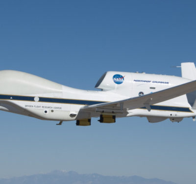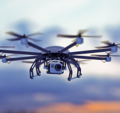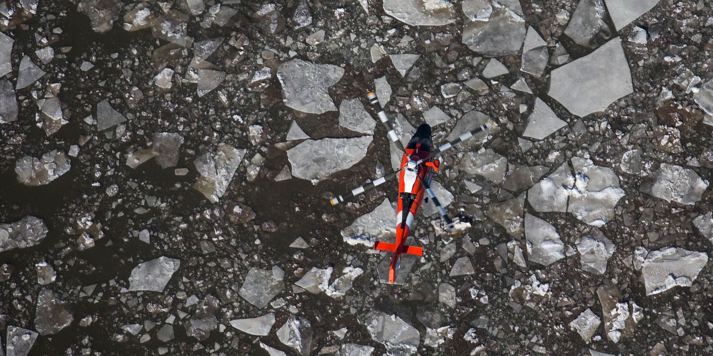
Every year, huge portions of North America’s Great Lakes freeze over, often in gigantic, treacherous ice packs . The ice, in different parts of the lake, can be both thin enough for humans to fall through or thick enough to obstruct, or even sink, ships trying to force their way through in the winter. That’s where the USCGC Mackinaw comes in. The Mackinaw is the only heavy icebreaker on the great lakes, responsible for ramming, plowing, and crunching through the ice pack to open shipping lanes in the depths of winter. Previously, the Mackinaw has used satellites to take overhead pictures of the ice pack, which they can use to map out weak spots in the ice. The satellite pictures can be slow, sometimes delaying the process of charting the safest and quickest path through the ice. Instead, the ship’s crew has suggested using drones to get a live-streamed aerial view of the waters ahead, especially with the increasing air-time of high-tech UAVs. “As this video comes into the ship we get an idea of the features, the ice features, and whether there are leads, which are areas of open water, or ridges or something that is a more […]