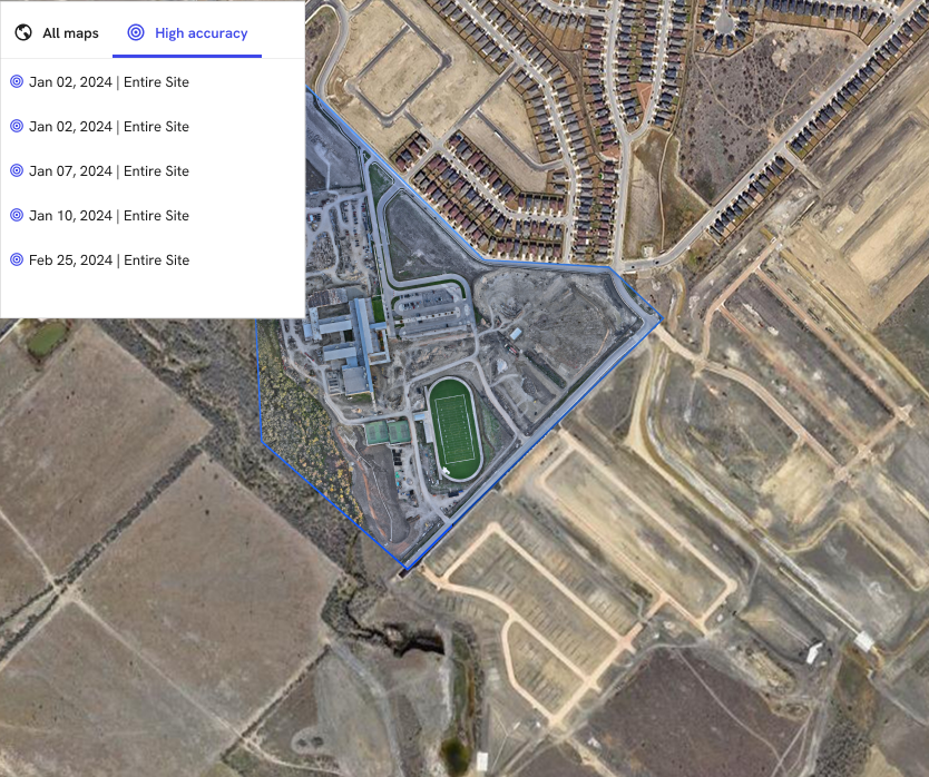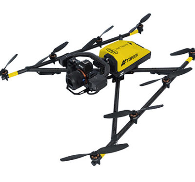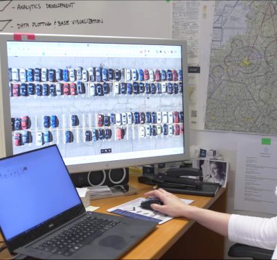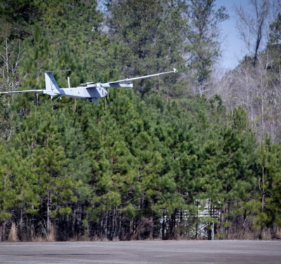
Trimble announced a collaboration with DroneDeploy to integrate Trimble’s Applanix POSPac CloudⓇ post-processed kinematic (PPK) GNSS positioning service, featuring CenterPointⓇ RTX, into DroneDeploy’s drone mapping and data collection platform. This partnership, unveiled at Geo Week in Denver, aims to provide DroneDeploy users with centimeter-level accuracy and a more efficient workflow for reality capture projects.
The integration utilizes Trimble’s Applanix POSPac Cloud PPK service and CenterPoint RTX post-processing to achieve high-accuracy positioning based on dual-frequency observables logged by drones. This collaboration marks a significant advancement in drone mapping technology by eliminating the need for base stations and simplifying operational workflows.
Trimble’s RTX services deliver real-time and post-processed centimeter-level accuracy globally, offering corrections via satellite or cellular/IP. This technology streamlines the mapping process for drone operators by offering an automated setup, a fixed global datum, and reduced field time, enhancing both accuracy and efficiency.
Joe Hutton, Director of Inertial Technology and Airborne Business at Trimble, highlighted the potential of this collaboration to revolutionize PPK-enabled drone data capture, facilitating the use of drones in precision geospatial applications without the need for base stations.
DroneDeploy’s platform, enhanced with Trimble’s Applanix POSPac Cloud PPK and RTX, aims to improve the accuracy of 3D reality capture models, opening up new possibilities for drone operations in construction, topography, and other industries.
Michael Winn, CEO and co-founder of DroneDeploy, emphasized the simplicity and reliability of obtaining high-accuracy drone maps through this collaboration. The partnership is expected to provide significant benefits to customers in construction, energy, and agriculture by enabling more confident and insightful project and asset management.


