Rome, NY—Join Microdrones for their next webinar next week and learn how Morris P. Hebert Inc. (MPH) increased its corridor mapping productivity from 1 mile/day to 3-4 miles/day while also simplifying the photogrammetry processing in the office and providing a denser LiDAR dataset.
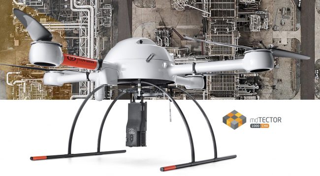
Attendees for the August 21 webinar will learn about the mdTectorCH1000. During the educational event, you’ll also examine the differences and benefits of the Microdrones mdLiDAR1000 and mdLiDAR3000.
This one-hour webinar will cover:
- The challenges of implementing drone-based LiDAR and how to overcome them
- Evaluate the benefits of drone-based LiDAR
- How MPH increased its productivity and workflow in UAS LiDAR Corridor Mapping
- Invitation to Special Offer for attendees only
Seats are limited and issued on a first come, first serve basis to the first 500 professionals to register. Microdrones looks forward to welcoming you to the world of drone-based LiDAR.
Live Webinar Date and Times:Wednesday, August 21st, 9:00AM EST or 6:00PM EST
Click here or copy this link to Register: https://lp.microdrones.com/how-to-increase-productivity-with-drone-based-lidar-webinar/?utm=ius
MPH has been providing client focused solutions since 1980. The company offers professional services, complete with experienced and knowledgeable personnel and state of the art equipment, to assist clients with the successful execution and completion of their surveying, engineering and construction projects.
By pairing robust drones with cutting-edge sensors, Microdrones offers advanced turn-key solutions that make it easy for businesses to start using UAVs for surveying, mapping, construction, inspection, precision agriculture, mining, and other commercial applications. A heritage of quality German engineering, extra-long flight times, resistance to environmental challenges, and technology like direct georeferencing are designed to make Microdrones’ solutions safe, efficient, and cost-effective choices for commercial users.


