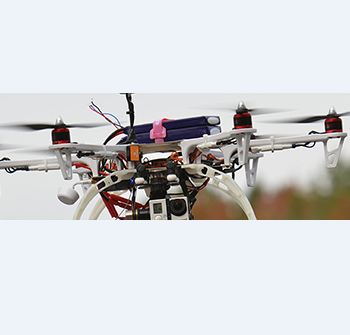
Photo courtesy of Phoenix LiDAR Systems.
Phoenix LiDAR Systems recently introduced Phoenix Vision360, a 360-degree aerial imaging platform.
The solution, developed in partnership with motion control company Black Forest Motion, features the latest 150-megapixel imaging technology from PhaseOne Industrial Solutions and allows for aerial visual inspection “from heights not seen in the current marketplace,” according to a news release. It’s made up of two layers—drone and imaging control technology as well as an automated cloud processing platform that converts images into actionable data.
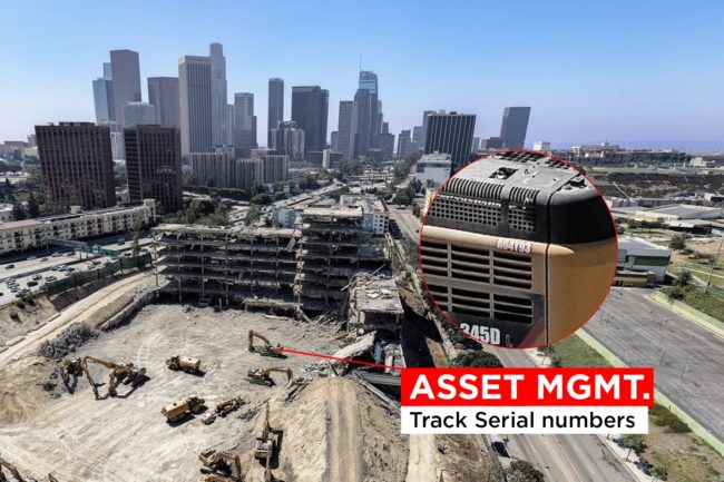
Phoenix Vision360 can be used for a variety of applications, including monitoring equipment installation in near real time, tracking progress on construction sites, identifying safety hazards, and managing historical sites or archeological digs.
“Imagine putting binoculars on the standard aerial image capture tools you’re currently using,” said Patrick Ketterer, CEO and Co-Founder of Black Forest Motion. “Then imagine the numerous management and safety applications that become available to you.”
The solution is able to capture data “for some of the largest aerial images with a drone flight-time of less than 10 minutes—all through a national service provider network,” according to the release. Image stitching processing and hosting is cloud-based, which makes it possible for clients to view the images on their desktop, PC, tablet or smartphone.
For more on Phoenix Vision360 from Phoenix LiDAR Systems CEO Grayson Omans and how drones are being used in the construction industry, read “The Trends of Technologies Changing the Industry” in the next issue of Inside Unmanned Systems.