The U.S. Department of Transportation has published a Privacy Impact Assessment (PIA) tied to the Federal Aviation Administration’s proposed Part 108 rulemaking on Beyond…
September, 2025

Autonomous Drones Soon to Fly Over Belgian Prisons
The Belgian prison administration plans to test autonomous drones to enhance security, according to a public procurement contract. Haren Prison,…

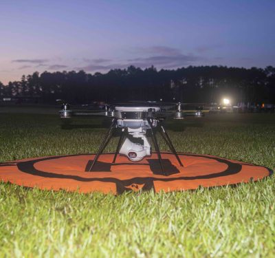
Volatus Aerospace to Launch Scalable Automated Drone Services in Canada
Volatus Aerospace Inc., a provider of aerial solutions, announced that Transport Canada has issued a Special Flight Operations Certificate (SFOC)…
Saab Reveals new Counter-UAS Missile Nimbrix
Saab has revealed Nimbrix, its first ever dedicated Counter-Unmanned Aerial System (C-UAS) missile. The missile is developed to counter the…
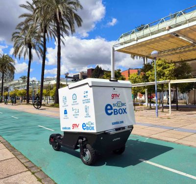
GMV and Scoobic Release Autonomous Electric Delivery Vehicle
Scoobic MED is a 100% electric, autonomous last-mile delivery vehicle with 5G connectivity, designed to enhance sustainable intelligent mobility in…
