As part of an ongoing global expansion, Microdrones has acquired geomatics service provider Navmatica Middle East, the company announced last week. Since 2012, Navmatica ME has provided services and custom software development, with a focus on geodetic positioning, airborne mapping, mobile mapping, and indoor mapping.
Microdrones President Vivien Heriard-Dubreuil explains, “With an office and team in Dubai, UAE the acquisition helps us establish a foothold in the promising market for commercial drones in the Middle East.” He added, “Navmatica ME brings us a highly skilled and experienced team of geomatics engineering specialists, software developers, and systems engineers. They have a proven track record of providing clients with high quality geomatics services and technology.”
Prior to joining Microdrones as Director of mdSolutions, Dr. Mohamed Mostafa founded Navmatica ME and built its reputation on hundreds of high profile international projects, including:
- High Precision 3D Topo mapping of the Riyadh Metro Project using Mobile Mapping in Saudi Arabia
- High Precision Geodetic Positioning in Dubai
- Airborne Mapping of The Nation of Oman
- Airborne Mapping in Kenya
“This is an important homecoming for me and my team. I’m thrilled to integrate the knowledge and experience from Navmatica ME into my work at Microdrones,” Mostafa explains. “Our expanded team includes experts in the design of mapping workflows, from primary data acquisition to final map production. We are able to harness years of academic theory and applied practical knowledge to help Microdrones customers with training, workshops and seminars on using drones for geomatics applications.”
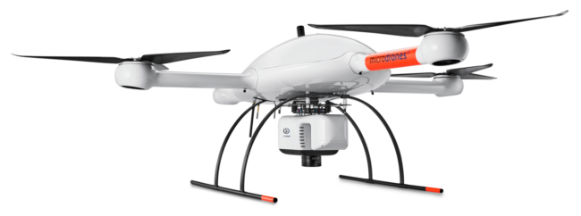
Founded in Germanyin 2005, Microdrones developed the world’s first commercial quadcopter and the company continues to lead the industry with their professional UAV solutions. By pairing robust drones with cutting-edge sensors, the company offers advanced turn-key solutions designed to make it easy for businesses to start using UAVs for surveying, mapping, construction, inspection, precision agriculture, mining, and other commercial applications.