Researchers at the University of Alaska Fairbanks are leveraging drone and underwater glider technology to monitor ecosystem shifts in real-time. These unmanned systems are delivering crucial insights for understanding the complex impacts of climate change on both local and global scales.
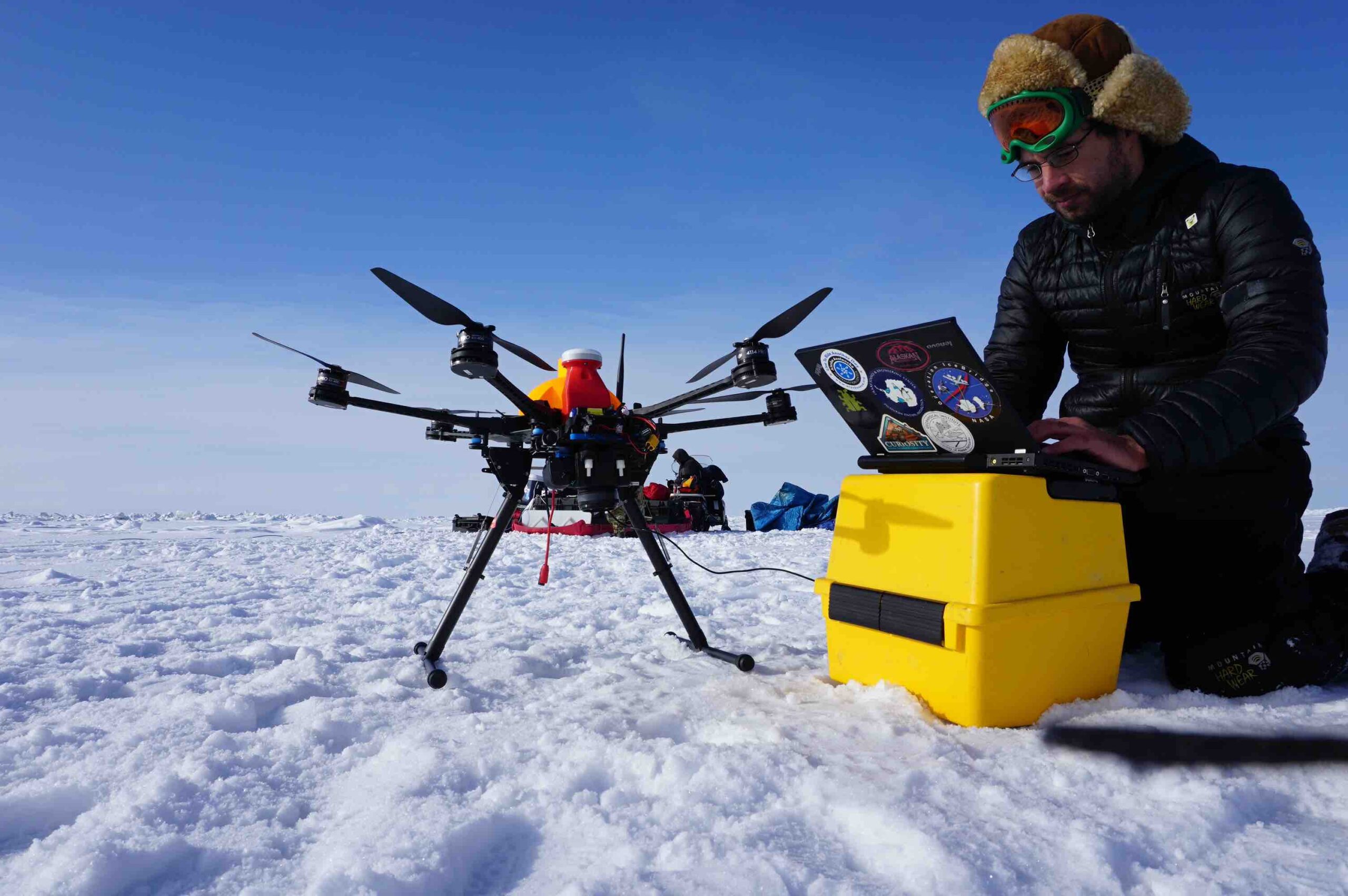
Temperatures in the Arctic are rising three times faster than the global annual average, according to data from The Arctic Council. The effects of accelerated warming temperatures in the Arctic impact the global climate system and provide a sobering preview of developing conditions in coastal regions as distant as the Gulf Coast of Texas and Florida. Researchers at the University of Alaska Fairbanks across several scientific disciplines are employing unmanned technology to more accurately measure these ecosystems and natural processes. This data provides critical intelligence to understand what is happening in Alaska, and how it may inform measurement as well as mitigation approaches in local and global contexts.
UNIVERSITY OF ALASKA FAIRBANKS’ USE OF DRONES
“We have researchers across various departments using drones to address climate change and environmental impacts. For example, we’re developing payloads for measuring sea ice thickness, collaborating with the Cold Regions Research and Engineering Lab to determine snow thickness and mapping glacier fronts in partnership with the National Park Service. We also work on wildfire monitoring, coastal erosion measurements and avalanche mitigation with the State Department of Transportation,” explained Cathy Cahill, director of the Alaska Center for Unmanned Aircraft Systems Integration. Drones are invaluable in the Arctic because of their ability to access remote areas that are difficult or dangerous for humans. This allows researchers to measure how far the coast recedes after storms, helping communities plan for the impacts.
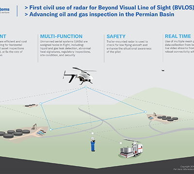
Cahill detailed that, “82% of Alaskan communities are only reachable by air year-round. Medical supplies often need to be flown in urgently. With drones, we could potentially deliver those supplies faster and more affordably, especially in bad weather when piloted flights aren’t possible. But we face challenges with beyond-visual-line-of-sight [BVLOS] regulations, as most of Alaska’s general aviation aircraft aren’t equipped with ADS-B for tracking. This makes integrating drones into the airspace complex and requires us to prioritize detect-and-avoid technology.”
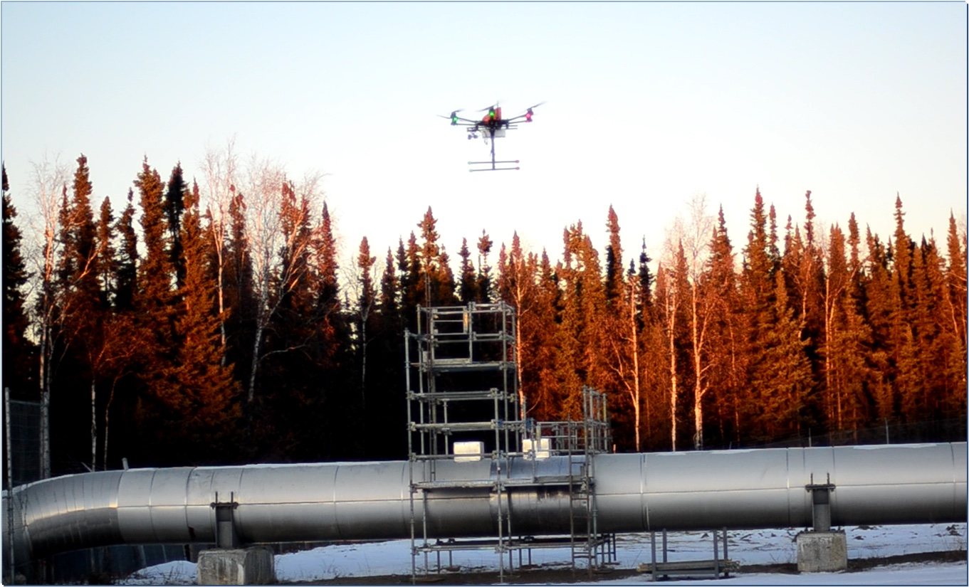
Though the need and utility are high, the state faces some unique challenges for advanced air mobility implementation. “Some of our drone flights,” Cahill said, “especially long-distance ones, still require a chase plane for safety. Alaska’s lack of widespread 5G or other reliable communications networks also limits our command-and-control capabilities over long distances. Satellite communication helps, but it doesn’t provide enough bandwidth for the data we often need to transmit. In remote areas, we rely heavily on onboard detection and collision avoidance for safety.”
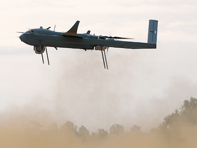
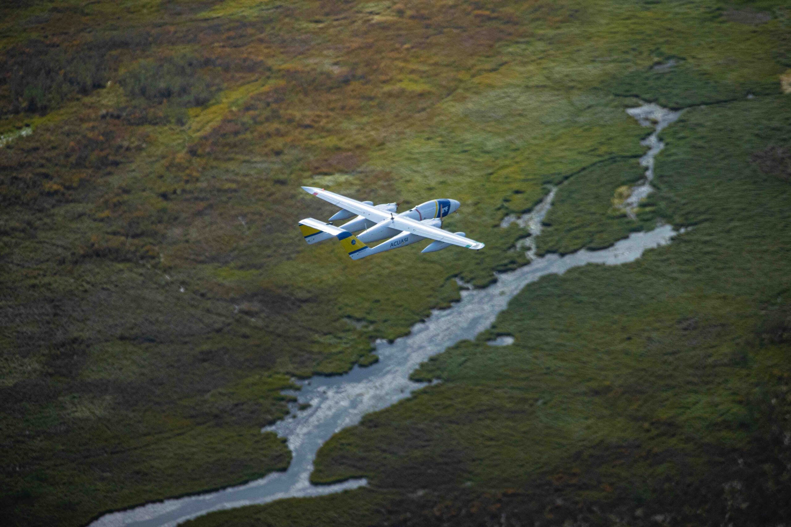
While infrastructure and regulations present real challenges, Cahill emphasized how operators are strategizing around these limitations. For example, when flying from Fairbanks to Nenana with the Sea Hunter, a 300-pound twin-engine drone, operators avoid populated areas, fly at higher altitudes and rely on a chase plane. But Cahill underscored the need for more reliable onboard detect-and-avoid systems to fly these missions safely without additional support. “The issue with Alaska is that our communications infrastructure and radar coverage are far from adequate to support beyond-visual-line-of-sight operations without onboard solutions.”
SEA ICE MELT
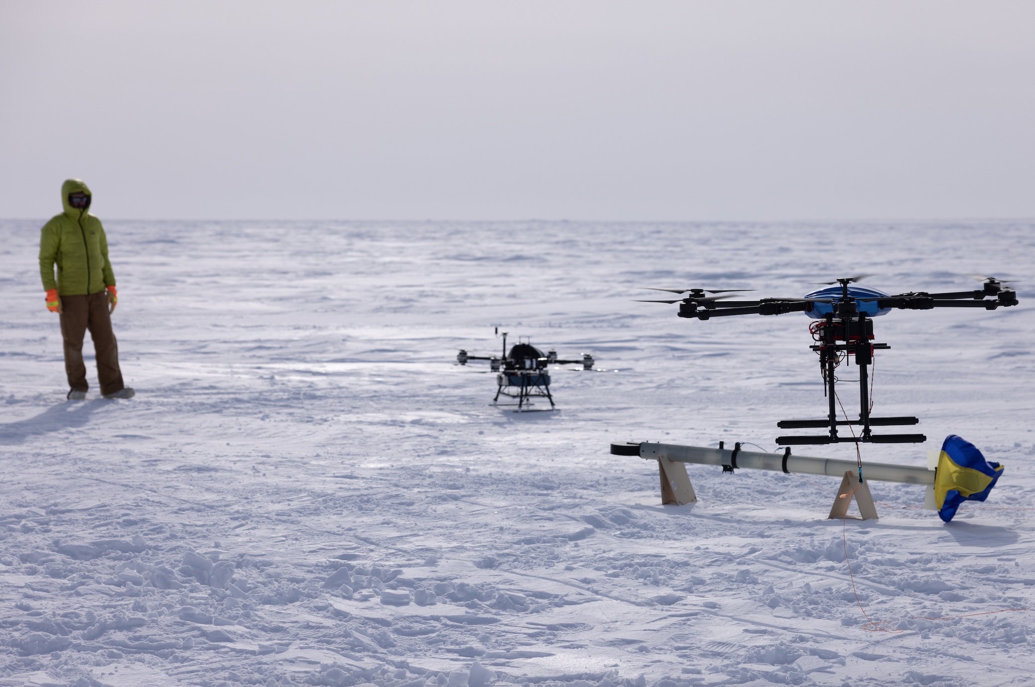
One of the most prominent features of climate change in the Arctic is the speed at which snow and ice are melting, contributing to the rising sea levels that threaten both human and wildlife communities in the region. With decreasing sea ice, many coastal communities are now at risk from storms. Historically, sea ice would contain the ocean’s encroachment, protecting the coast, but with warming waters and receding ice, waves hit the permafrost-heavy soil directly and cause erosion. The Lightweight Airborne Snow and Sea Ice Thickness Observing System (LASSITOS EM) research project headed by Andy Mahoney and Achille Capelli, of University of Alaska Fairbanks, uses electromagnetic induction, together with a laser and GPS, to measure sea ice thickness with high precision and accuracy. Sea ice thickness is a challenging metric to fully capture, Capelli said. “Sea ice is crucial for the Arctic and global climate, as its extent and thickness have significant implications for both climate modeling and human activity in the Arctic. Measuring sea ice thickness is challenging due to the brine in the ice, which blocks traditional radar methods. Our project utilizes electromagnetic induction [EM] technology, traditionally used from planes or helicopters, adapted here for drones to measure sea ice thickness.”
The EM instrument—a two-meter-long sensor—is suspended from the quadrotor drone by a thin paracord. This separation minimizes noise and enables the sensor to measure the water’s conductive properties without interference. The team initially envisioned a fixed-wing airframe to cover greater geographical distances, but that proved difficult due to the need to fly low and the interference from drone electronics. They instead opted for a rotor-based airframe as a more workable solution. The system combines the EM sensor tethered to the drone with a laser rangefinder and GPS. The EM sensor measures the distance to the water, and the laser measures the distance to the ice surface. “We use a transmitter to generate a magnetic field that induces small currents in the water, which creates a secondary magnetic field,” Capelli said. “This secondary field is detected by a receiver, and by analyzing its strength and phase, we can determine the water’s distance from the sensor and its conductivity.
“By subtracting these measurements, we determine the ice thickness. With GPS, especially when we can use RTK or PPK corrections, we can measure how much ice sticks out above the water, known as freeboard. Freeboard is a particularly challenging measurement, especially as we’re often looking at centimeter-scale variations. But with the GPS and precise measurements, we’re able to map ice thickness even in complex regions like ice ridges.”
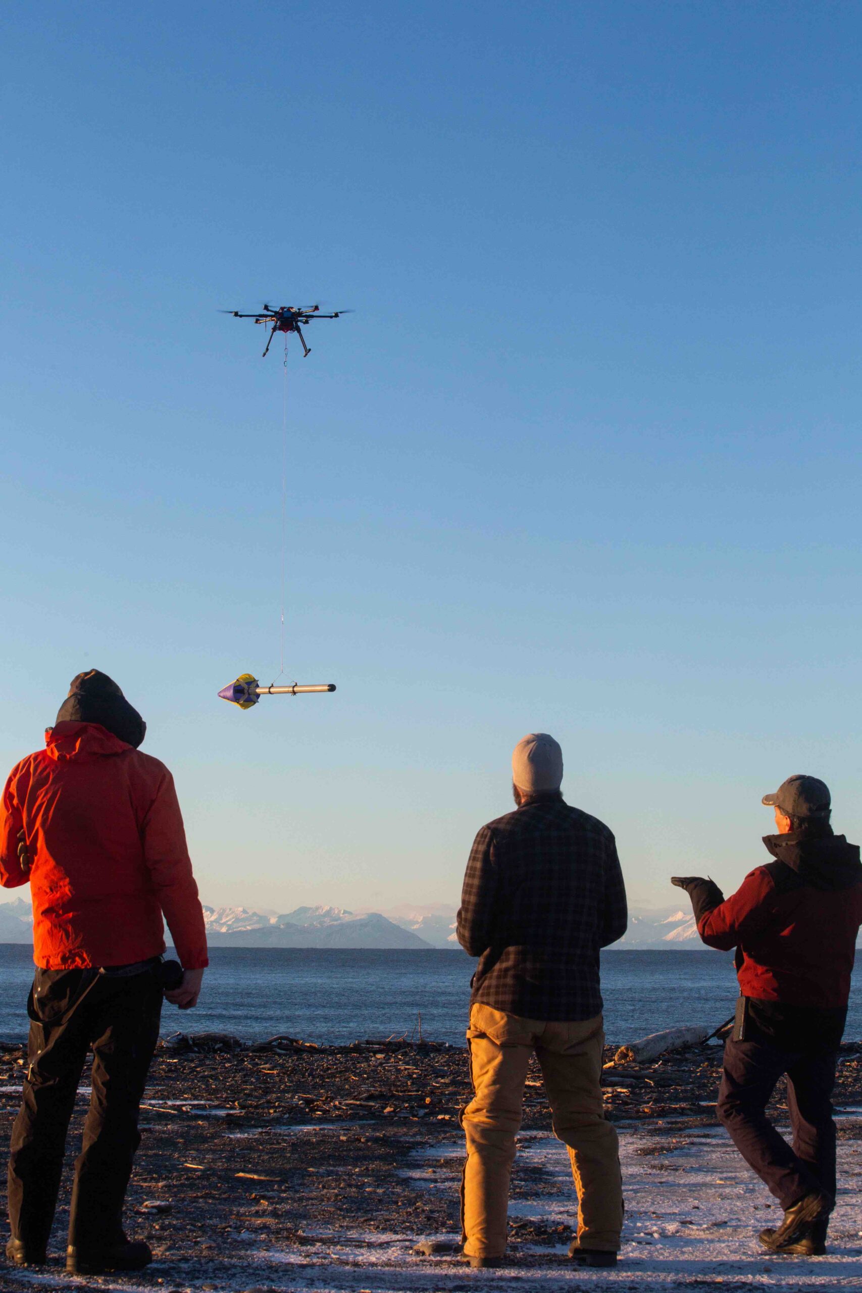
This localized data gathering provides a micro view of processes and systems at work. By appraising in such fine detail over time, more granular data will be available to researchers globally, and this will inform future climate models. “Our instrument is suited for monitoring localized areas. While it’s challenging to scale to large areas, it can support broader climate models by providing highly detailed, localized measurements that validate larger-scale data,” Capelli said. “For instance, up in Utqiaġvik (Barrow), Alaska, researchers have measured ice thickness along trails used for whaling for about 15 years. Our system could eventually automate those measurements, allowing safer, more detailed monitoring without needing established trails.”
Now that the team has successfully executed the proof-of-concept, they are planning to apply the technology to additional use cases. “We’ve proven that the instrument works and meets the accuracy standards needed to provide valuable data. Now, we’re exploring additional applications, like using it to assess ice stability for safe travel over frozen areas.” This would provide highly accurate, timely data about whether particular ice zones are sufficiently thick to safely take off a manned aircraft from.
The data gathered through the drone-based LASSITOS EM system is downloaded and processed using bespoke software that Capelli coded himself. He suggests they may be able to employ edge processing on the drone itself in future iterations, as immediate access to the data would be valuable for applications like validating flight runway safety.
SNOW CRAB FISHERIES
The seafood industry is an indispensable private sector employer in Alaska. For many coastal communities, fisheries are the primary economic sector. Commercial fisheries have long flourished in Alaska, providing the economic foundation for these communities. Declining or closed fisheries owing to climate-related environmental changes in the region pose an existential threat to local communities and economies.
Alaskan snow crab has historically been one of the most significant drivers of commercial attention and activity for fisheries in the state. In 2018 and 2019, the snow crab population experienced a decline of greater than 90%, according to NOAA data. NOAA fisheries scientists attribute the rapid decline of snow crab in Alaska to borealization, an ecological shift from Arctic to sub-Arctic conditions in the Bering Sea because of human-caused climate change. NOAA research indicates that boreal conditions associated with the snow crab collapse are more than 200 times likelier to occur in the present climate than in the preindustrial era.
Thermal stress resulting from higher ocean temperatures does not appear to be the primary driver of snow crab decline. NOAA reports that in laboratory studies, scientists observed juvenile snow crab were unaffected by temperatures of up to 8°C, and at the height of the marine heatwave in the Bering Sea in 2018 and 2019, ocean temperatures remained below the 8°C threshold. This suggests that warmer water temperatures increased snow crab metabolism, and the underlying ecosystem could not support the increased demand.
UNDERWATER GLIDER RESEARCH
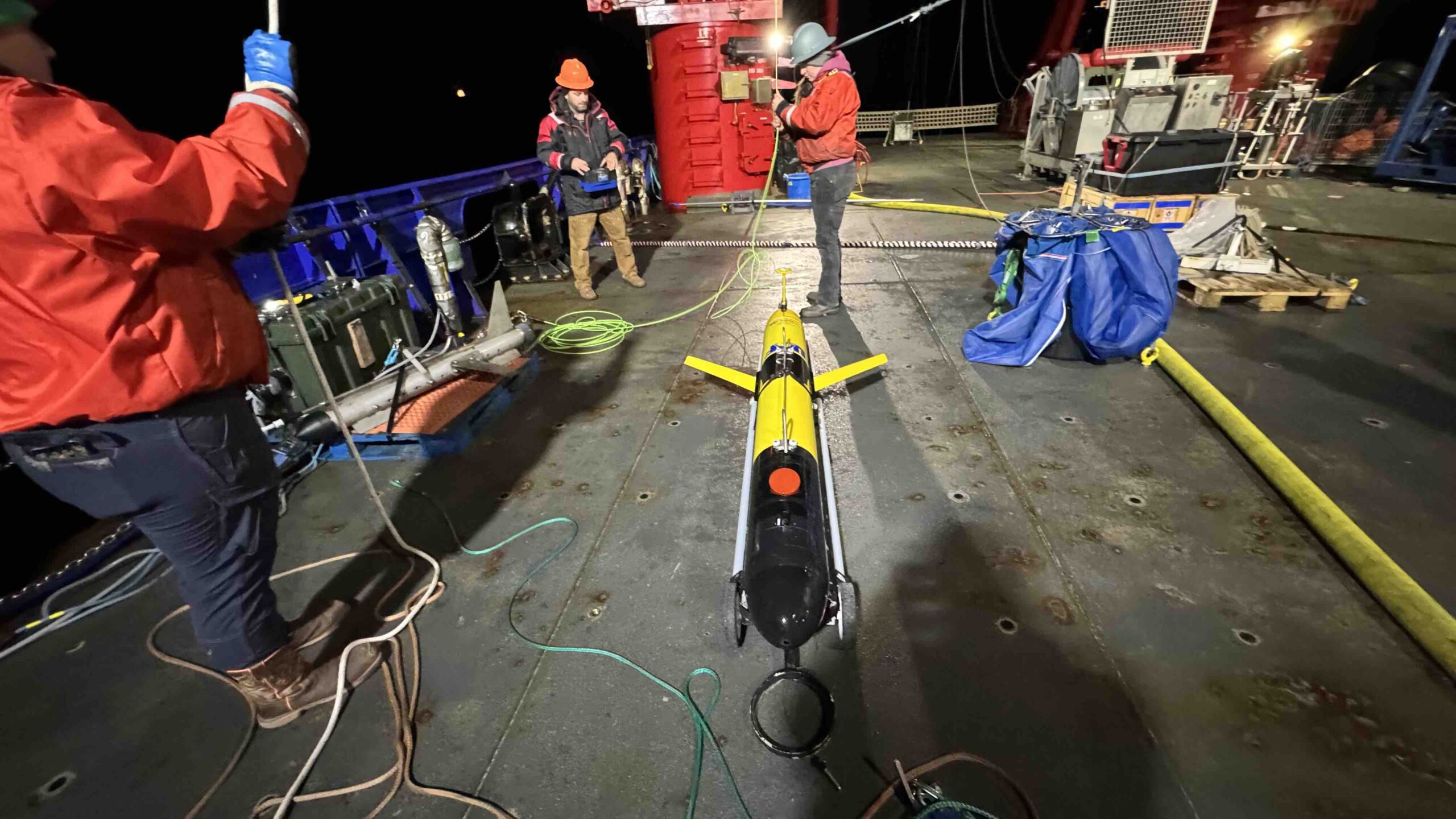
Predicting snow crab and other aquatic populations’ viability for commercial harvesting relies on measuring the microscopic, foundational elements of the food system they rely upon. Seth Danielson and Hank Statskewich use an underwater unmanned oceanic glider to collect data on the health of the ecosystem. “We’re focused on monitoring ocean conditions to understand how climate is affecting Alaskan marine ecosystems. This includes supporting sustainable fisheries management, which is vital here, as Alaska’s fisheries are among the richest in the U.S., contributing millions to the economy. But climate-driven changes have disrupted this ecosystem, with severe impacts like the collapse of the Bering Sea king crab fishery. Monitoring these shifts is critical to managing these resources effectively,” Statskewich said.
The gliders are mostly autonomous but can be controlled remotely. They surface every two to five hours to transmit data via satellite and check for new commands. While submerged, the gliders navigate through dead reckoning, adjusting based on currents they’ve previously encountered. One of the main focuses is on-board data processing. Because satellites can’t handle large data volumes, the gliders process much of it themselves and transmit condensed information back to the team, with the full dataset retrieved upon recovery.
The gliders collect “core measurements, including ocean temperature, salinity and chlorophyll fluorescence, which indicates the volume of phytoplankton in the water. Phytoplankton form the base of the marine food web, supporting krill and other zooplankton, which in turn feed fish and higher levels of the ecosystem. Recently, we’ve also integrated sensors that acoustically measure plankton density and fish presence, as well as optical systems that photograph the plankton, giving us insight into both fish populations and their food sources,” Danielson explained.
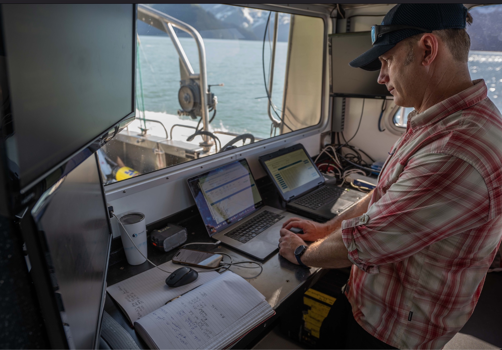
These measurements provide insights into broader ecosystem trends. “One of the key events we monitor is the oceanic spring bloom, when sunlight returns and phytoplankton proliferate, which happens in oceans globally. By deploying gliders in winter and monitoring through spring, we can observe when and how these blooms occur. Over years, this gives us a view of ecosystem health trends—whether blooms are early or late, large or small. This data helps NOAA compile ecosystem reports that influence fisheries quotas by forecasting food availability for fish populations.”
In deployments in the Gulf of Alaska from 2021 to present, data has been gathered across 9,622 km, over 495 days at sea, collecting 19,244 discrete vertical profiles from the sea surface down to about 1,000 m max depth or to about 20 m off the sea floor, whichever was shallower.
Danielson detailed some innovative approaches to improved data capture the team is looking into. “We’re moving toward even more advanced processing, like using AI to identify zooplankton species on board. Eventually, a glider might surface with a summary of what it encountered, potentially down to species level, and request instructions on whether to investigate further. This approach is especially valuable during off-seasons, like winter, when human access is limited.”
Statskewich explained, “We also use passive acoustic sensors on gliders to monitor marine mammal sounds and general ocean soundscapes. For instance, we’ve been tracking soundscapes in the Bering Strait since 2013. This data provides insights into marine mammal migrations and could eventually guide shipping routes to avoid these areas.”
The data is transmitted in real time to ocean and atmospheric models, enhancing predictions like hurricane forecasts. For new data streams, like those on zooplankton, the team is working with data managers to expand existing systems to accommodate these novel inputs. The team is not only gathering data but contributing to the architecture needed to store and interpret it over time. One limitation the team would like to overcome is short operating times governed by battery technology. “Our gliders use a mix of lithium primary cells, lithium-ion rechargeables, and alkaline cells, but battery limitations are a major factor in mission duration. Developments in this area would extend our glider deployments significantly,” Danielson said.
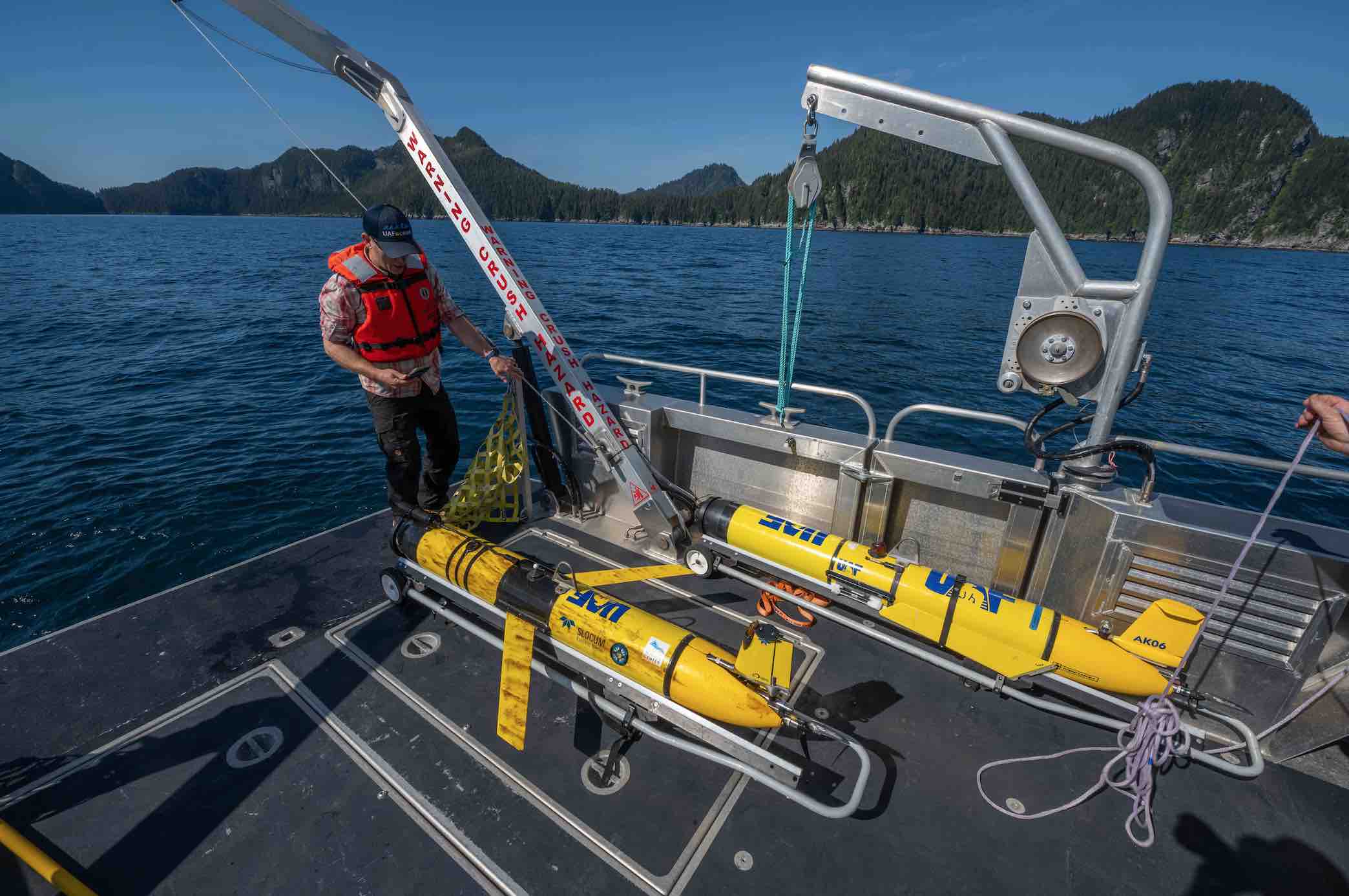
NOAA is moving toward ecosystem-based fisheries management, which considers the entire ecosystem, rather than assessing each species in isolation. The goal is a holistic approach, factoring in everything from temperature and salinity to phytoplankton levels and CO2 concentrations. “While NOAA’s approach is still evolving, they’re data-limited in many areas, and that’s where gliders fill a critical gap. By collecting data continuously, they help provide that ecosystem-wide perspective, which is often missing from traditional surveys,” Statskewich said.
In 2022, during the Alaska Fisheries Science Center annual bottom trawl survey, scientists observed a return to cooler water temperatures more typical of historic times. These cooler conditions benefited snow crab. Scientists saw an increased number of juvenile snow crab in their survey, providing some hope for a short-term recovery in the abundance of the larger animals that are harvested by Alaskan fisheries, and so essential to the industry’s economic viability.


