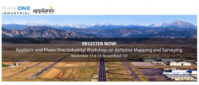
Applanix and Phase One Industrial are pleased to invite you to the upcoming 2019 Workshop on Airborne Mapping and Surveying, a two-day educational and networking event. The workshop will be held on November 13 & 14, 2019 at the Rocky Mountain Metropolitan Airport, just under 30 minutes away from Denver International Airport.
Attend the event and learn more about:
- Direct Georeferencing (DG) and how it improves the efficiency and accuracy of mapping from manned and unmanned platforms
- Applanix’ Industry-leading GNSS-Inertial solutions and technology
- The revolutionary POSPac Post-Processed CenterPoint® RTX™ solution, for high accuracy airborne mapping without base stations
- How medium-format aerial imagery, combined with GNSS solutions, can offer precise positioning data and allow completion of geo-spatial projects in a more efficient and cost-effective manner
- Phase One Industrial cameras and their integration into systems for complete mapping, monitoring, and data collection projects
The agenda includes sessions on:
- What DG for airborne mapping is and how it saves money
- A deeper dive into GNSS-aided inertial technology for DG
- POSPac and post-processed Trimble Centerpoint RTX: tipping the airborne mapping scale
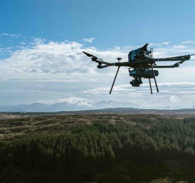
- DG on UAVs for LiDAR, hyperspectral and photogrammetry: critical for efficient automated mapping
- Live case studies from end users: high-accuracy UAV mapping/inspection, agricultural mapping services, RGB & 4-band triangulation imagery, large-format imagery mapping
- Insight into latest version of Phase One Industrial software: iX Flight and iX Capture and their benefits to the user
Limited seats are available, to reserve yours now, click here.


