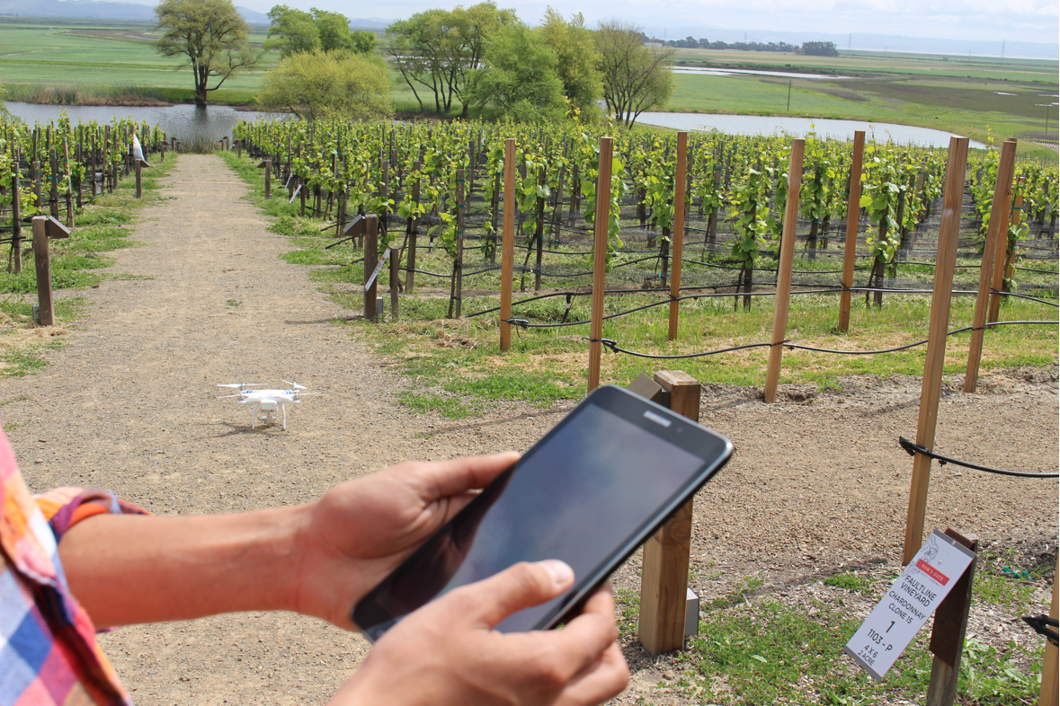
 DroneDeploy recently launched a mobile app that is designed to provide users with a push-button solution to automate drones, making it possible to receive real-time aerial maps and images.
Through a partnership with drone manufacturer DJI, the company’s software is available on the DJI Phantom 2 Vision, giving access to people in a variety of industries, including agriculture, mining, real estate and construction, according to a news release.
The software enables users to control drones and cameras while they’re in flight. It also processes data, visuals and information in real time, according to the release.
The app makes it easy for farmers to quickly assess the health of their fields and help them efficiently make better decisions, according to the release. Mining and construction operators can use the app to create high-res 3D or digital elevation models of sites and structures, as well as analyze plan progress to eliminate inconsistencies.
For more information visit dronedeploy.com.


