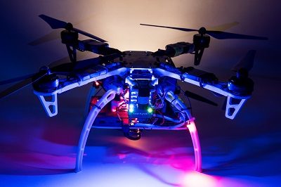
Sentera Aerial Inspection MINNEAPOLIS, Nov. 10, 2015 /PRNewswire/ — Sentera, LLC, a designer of sensors, software, and unmanned aerial vehicles (UAVs), today announced it has been granted a Section 333 exemption from the Federal Aviation Administration (FAA) to operate multiple types of commercially-available UAVs. Applications for these systems include crop survey, infrastructure inspection, geo-spatial mapping, and other aerial imaging missions. “We are excited to receive the exemption,” said Sentera CEO, Eric Taipale. “While most exemption holders focus on providing revenue-generating flight services, Sentera flies primarily to demonstrate our products to customers and to gather and analyze aerial data which helps us enhance our OnTop Platform , a data management system designed specifically to support the thousands of images collected during a typical UAV flight.” Sentera’s exemption for both fixed-wing and quadcopter UAVs ensures the company can capture a wide range of data types that are relevant to customer applications, including very high resolution visual, multispectral, and thermal imagery, as well as specialized non-image information. Customers use Sentera input data to perform many tasks, such as developing planting and crop management advice for growers, building 3D models of buildings, structures, and terrain for asset owners, and monitoring environmental regulatory compliance […]


