JOUAV, a specialist in the industrial UAV sector, has launched the JoLiDAR-1000, a new LiDAR sensor for drones, aimed at improving applications in GIS, surveying, and precision inspections of power lines. The JoLiDAR-1000 incorporates advanced LiDAR technology, offering improvements in measurement accuracy for UAV applications.
The sensor features a 1000m medium-range laser scanner, leveraging RTK+IMU fusion technology and laser scanning for enhanced measurement precision. It achieves a measurement accuracy of 5mm, a repetition accuracy of 10mm, and a line scanning speed ranging from 10 to 300 lines per second, supporting up to 7 returns. With a 100° field of view and an angular resolution of 0.001°, the JoLiDAR-1000 can precisely detect objects at extended distances.
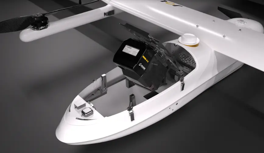
Designed with compact dimensions of 252mm×137mm×135mm and weighing only 1.9 kg, the JoLiDAR-1000 is highly portable and integrates seamlessly with various drone platforms. It incorporates a suite of technologies, including a GNSS high-precision positioning system, inertial navigation systems, high-speed data acquisition systems, time synchronization systems, and a 26MP RGB camera, enhancing its data collection capabilities.
The JoLiDAR-1000 streamlines operational processes by eliminating the need for base station setup and ground control points. It is equipped with high-precision POS solution computation and point cloud fusion capabilities, making it suitable for a wide range of applications such as terrain mapping, power line inspection, mining surveying, coastline measurement, emergency mapping, and natural resource surveying.
This introduction of the JoLiDAR-1000 by JOUAV marks a significant advancement in the capabilities of UAVs for civilian applications, offering precise and efficient data acquisition for a variety of industries.