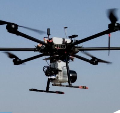
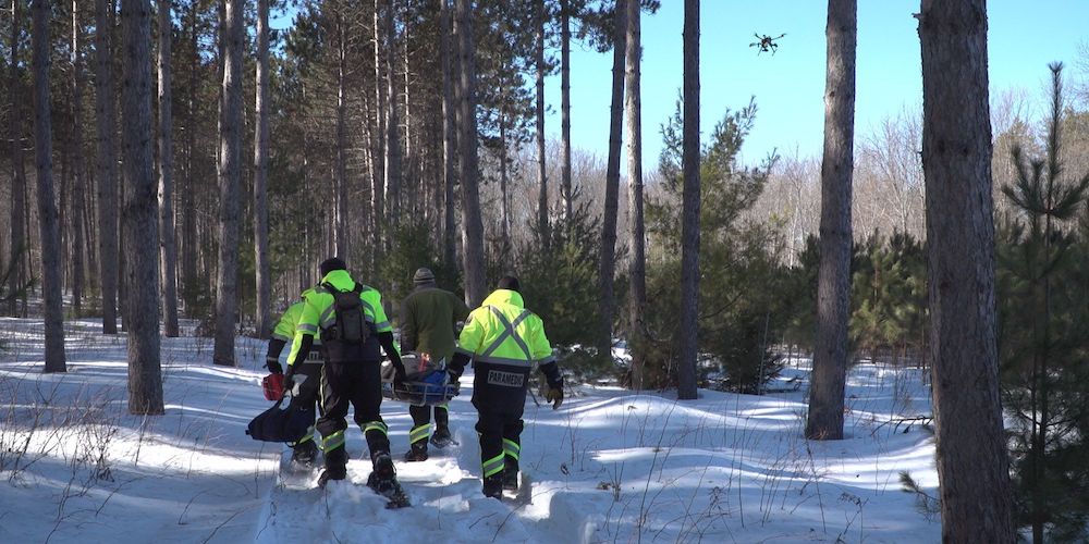
 Public Safety Canada recently selected Kongsberg Geospatial, Larus Technologies and the Civil Air Search and Rescue Association of Canada (CASARA) to develop new ways to use drones for search and rescue (SAR) operations in remote areas in Canada.
The partners will integrate geospatial software, artificial intelligence (AI) and machine vision software as part of the project, according to a news release. Project OVERSEE (Optical Vision Enhancement and Refinement of Sensor Exploitation Effectiveness) will be funded by the Search and Rescue New Initiatives Fund (SARNIF).
The team will use available SAR statistics from a variety of agencies to develop simulations driven by AI. Using deep learning techniques, AI will “investigate how BVLOS regulation effects SAR efforts that make use of drones, and how drones have been integrated most effectively in search and rescue operations, particularly for isolated indigenous communities in Canada’s North that don’t have quick access to aeronautical search and rescue assets.”
The goal is to help CASARA members and GSAR (Ground Search and Rescue) workers use BVLOS drones more effectively during SAR missions.
Kongsberg Geospatial will lead the project, contributing expertise in precision mapping, air traffic management, and the development of multi-vehicle drone control stations for BVLOS missions. Larus Technologies specializes in Intelligence Surveillance and Reconnaissance (ISR) systems for defense applications, and will contribute the Total::Perception™ simulation engine and Total::Vision™ computer vision technology. CASARA will help collect drone video from training exercises and SAR event statistics from community organizations.
Once the project is complete, CASARA members will circulate standard operating procedures (SOPs) developed from the results to Civil Air Search and Rescue workers and volunteers across Canada. The project is expected to be completed in 2021.
“We and our partners believe that this project can help search and rescue volunteers save lives in isolated communities by using inexpensive, off-the-shelf drones to conduct searches until the Canadian Air Force or other aeronautical assets can join the search,” Kongsberg Geospatial President Ranald McGillis said, according to the release. “We also hope to increase survival rates by showcasing how drone systems can be augmented with computer vision systems for improved performance.”