With the inclusion of the American Security Drone Act (ASDA) within the 2024 National Defense Authorization Act (NDAA), signed into law by President Biden in December, 2023, the US government is now prohibited from using federal funds to purchase drones made in China, Russia, Iran, and North Korea, or drones that use certain components made in those countries.
Emesent, the award-winning Australian company specializing in autonomous technologies for industrial drones, has responded to the new US regulation by announcing its agreement to provide high-performance Hovermap LiDAR mapping and autonomy technologies to the American-made Freefly Astro drone.
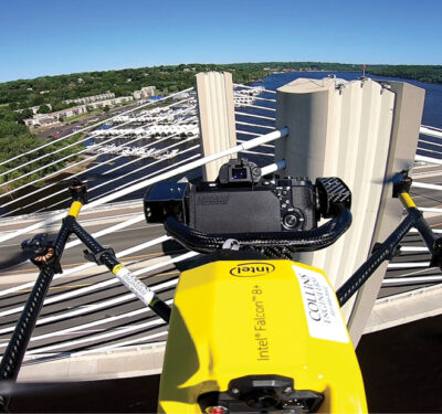
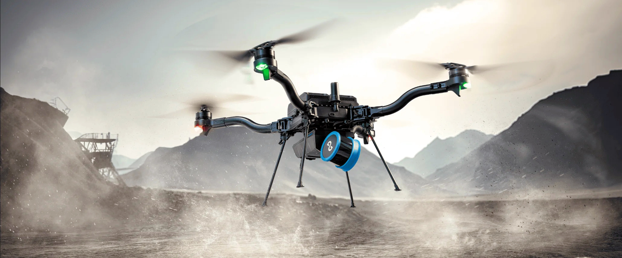
Hovermap is Emesent’s advanced simultaneous localization and mapping (SLAM)-based LiDAR mapping and autonomy payload, designed for physically challenging and GPS-denied environments. The unit captures survey-grade data, quickly and safely, providing surveyors with a high-definition 3D scan of the environment.
Astro is Freefly’s latest commercial drone platform, equipped with RTK, a 61 megapixel Sony camera, LTE cloud connectivity and integrated mission computer. In a recent communication, Emesent co-founder and Chief Strategy Officer Dr Stefan Hraba said his company is keen to see how users are able to leverage the combination of Emesent Hovermap technology and the Astro drone’s capabilities.
Easier than ever LiDAR scanning
With the latest release of Emesent’s mission planning app Commander, and newly enhanced Hovermap Autonomy, pilots will enjoy from a simple and stress-free approach to 3D LiDAR mapping. Hovermap Autonomy Level 2 (AL2) is Emesent’s latest set of autonomy features, enabling pilots to fly an entire mission, from take-off to landing, using a tablet, under all kinds of environmental conditions. Data is processed on-board in real time, so by the time the drone touches down it has already produced a detailed 3D map of the covered area.
Hovermap has been a very successful product for Emesent, providing highly detailed 3D visualizations, enabling critical decision making and impacting safety and continuity of business operations. It is now being employed across high-risk industries such as construction, mining and public safety, in all parts of the world.
In addition to drone-based deployment, platform-agnostic Hovermap is designed to be used on vehicles, mounted on the Boston Dynamics Spot robot, or operated as a handheld or backpack-mounted scanner. Incorporating the latest in LiDAR sensing technology, it delivers high-density point clouds, with an excellent sensing range of up to 300 meters, and a rate of more than a million points per second. Emesent offers a choice of Hovermap business plans designed to match and support specific LiDAR mapping and data visualization requirements.