The mapKITE project, which is funded by the European Global Navigation Satellite Systems Agency (GSA), has created an advanced surveying tool by combining terrestrial mobile mapping systems with Unmanned Aerial System (UAS) mapping capabilities.
Geo-information is fundamental in any modern society, with many infrastructures and services depending on it. However, it can be expensive to create and update. As a result, European, national and local government agencies must balance a growing demand for high-resolution, up-to-date geo-information against decreasing budgets.
The Horizon 2020 mapKITE project responds to this market need by combining terrestrial mobile mapping systems (TMMS) with UAS mapping capabilities. The resulting tool is a tandem terrestrial vehicle (TV) and unmanned aircraft (UA) equipped with remote sensing instruments that cooperate in collecting geo-data. The system integrates E-GNSS capabilities into drones and proposes a novel geo-data post-processing concept to provide surveyors and mappers with an end-to-end solution for 3-D high-resolution corridor mapping.
The GSA-funded project has concluded after two years of development and validation, executed by a consortium of 10 companies from six different countries and coordinated by GeoNumerics. Recently, the project gathered more than 40 industry specialists from world-leading mobile mapping integrators, European mapping service companies and cartographic and infrastructure management agencies to officially introduce – and demonstrate – the mapKITE system.
Introducing mapKITE
“While terrestrial mobile mapping systems are becoming a standard surveying tool, their use is restricted due to their limited and insufficient view from the ground,” said Project Coordinator Pere Molina in a GSA press release. “On the technology side, mapping of small areas via small unmanned aircraft has become a reality, with many of the big geomatic technology companies already including UAS systems in their product portfolios.”
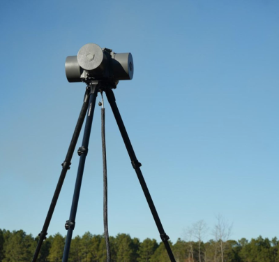
mapKITE is designed to combine the best of both worlds by incorporating aerial and terrestrial components. The aerial component consists of a UA equipped with remote sensing instruments and a navigation guidance and control system. The terrestrial component consists of a human-operated TV that is equipped with remote sensing instruments and a TMMS.
This tandem system operates with the TV, computing a real-time trajectory by means of its real-time navigation system. By doing so, a set of waypoints are generated as route inputs for the UA by converting terrestrial navigation (time, position, velocity and attitude parameters) into UA time and space commands. This process produces a virtual tether by which the UA always follows the vehicle.
For more, watch this video: mapKITE for total 3D mapping
As the UA follows the vehicle at a constant flying height, both can simultaneously collect geo-data. This is then post-processed via an orientation-calibration concept, resulting in the delivery of high-resolution, oriented-calibrated and integrated 3D images of corridors and their surrounding environment.
One of the system’s main benefits is that it lowers surveying budgets. “The mapKITE system does this by means of its Kinematic Ground Control Points (KGCPs), which are obtained directly from the TMMS navigation solution, entailing the elimination of expensive traditional Ground Control Points (GCPs),” explained Molina. “What this means for the user is the longer the corridor mapping mission, the higher the savings are while also keeping similarly accurate results.”
The mapKITE system’s combination of both ground and aerial based surveying systems provides users with an integrated and powerful solution. To accomplish this, the project fully exploits such GNSS technology as EGNOSand Galileo. “As an enabling component of mapKITE, EGNOS provides the desired level of accuracy for the terrestrial navigation solution and for the UA guidance,” said GSA Market Development Officer Alina Hriscu, who spoke at the launch event and demonstration. Hriscu also noted that the Galileo E5 AltBOC signals are of particular interest to the mapKITE system because of the robustness they provide against multipath errors at the ground level. This makes them essential for accurate mapping in natural or man-made corridors, something that was confirmed during tests of mapKITE.
“This is a brand new way of acquiring geo-data and processing it in order to derive geo-information that would not make sense without E-GNSS,” added Molina. “We also must highlight the critical role of GNSS timing, due to the need to synchronize the TV’s trajectory solution to the central time of exposure of the UA remote sensing instruments.”
Engemap, a Brazilian road mapping company and early-adapter of mapKITE, presented a case study of its success using the system. Antonio Lira, project and business manager in Engemap, presented the key features of the Brazilian corridor mapping requirements and market and highlighted how mapKITE absolutely fits as an all-in-one solution. During the two trials, Engemap used a mapKITE prototype to successfully map several kilometers of road, achieving satisfactory levels of efficiency.
“Simply put, the mapKITE idea of combining a mobile system with a classic system of aerial image acquisition is quite brilliant,” concluded Senior Mapping Expert Josep Lluis Colomer.
As mapKITE now turns its focus towards marketization, it has been patented by GeoNumerics in Spain and the United States, with patent applications in Europe and Brazil pending, according to the GSA.