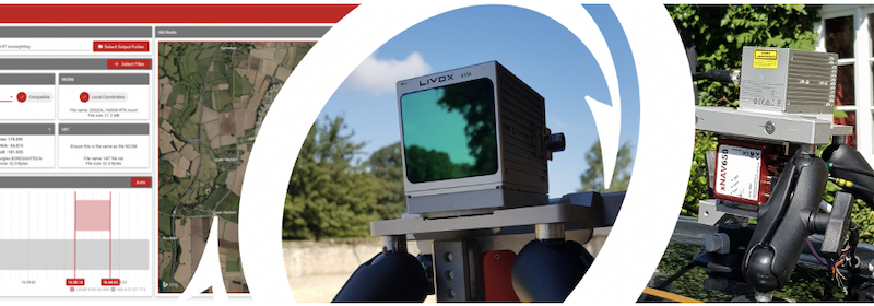
Oxford Technical Solutions (OxTS) a manufacturer of survey-specific Inertial Navigation Systems has released the latest version of their LiDAR georeferencing software, OxTS Georeferencer
Version 1.5 sees the introduction of a new family of LiDAR sensor to the already impressive line-up. Joining pre-integrated sensors from Velodyne, Hesai and Ouster are three sensors from Livox. The Livox sensors now available in OxTS Georeferencer are the Avia, Mid-40 and the Mid-70.
The addition of these new sensors from Livox brings the total number of pre-integrated sensors to over 20. This new integration provides Livox LiDAR users with the ability to quickly and easily georeference their LiDAR data with the navigation data from an OxTS INS. You can find out if your sensor is one of those already available in OxTS Georeferencer.
To learn more about the new release, join OxTS at 14:00 hrs (BST) on Wednesday, 13th October as they introduce ‘What’s new in OxTS Georeferencer 1.5?’ Register here.
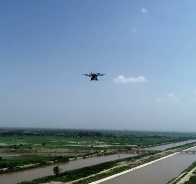
OxTS aims to give surveyors the ability to quickly and easily build a full survey solution of INS, georeferencing software and LiDAR, capable of producing high quality, accurate, repeatable pointclouds for use in Mobile Mapping and UAV based mapping applications.
Their Inertial Navigation Systems, like the xNAV650, provide highly accurate inertial measurements (absolute position, heading, pitch/roll and timing) that can be used to georeference LiDAR data (using OxTS Georeferencer) from a wide range of LiDAR sensors.
For more information on OxTS Georeferencer or to receive a quote, contact OxTS.