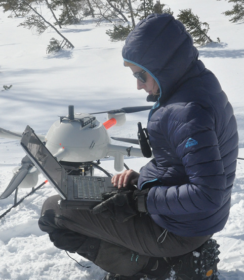
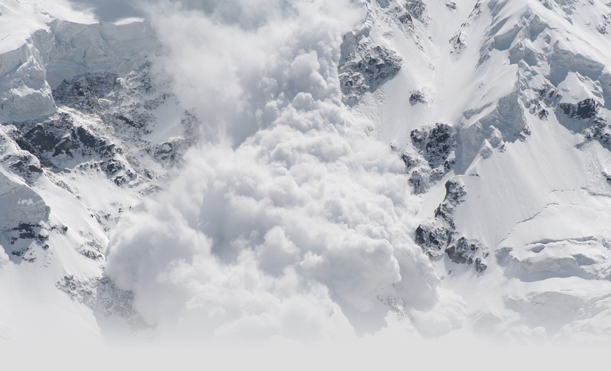
Measuring snow depth around a mountain can be a tedious, challenging job—but is a crucial part of predicting dangerous, often deadly, avalanches.
Typically, this requires manually drilling the snow, which means workers must bring heavy equipment to dig out room-sized cubes throughout the area being measured. Once the cubes are ready, the surveyor can begin measuring, then take the average of measurements from various areas to determine the depth. The cubes must be big enough to comfortably and safely hold the surveyor, and getting them set up is a process that often takes weeks. Even so, this is considered one of the most effective ways to measure snow depth, said Dr. Mohamed Mostafa, Director, mdSolutions for Microdrones.
Microdrones and the University of Sherbrooke decided there had to be a better way. Earlier this year, they flew a LiDAR-equipped unmanned aircraft system (UAS) over Mount Albert in the Chic-Choc range in the Gaspésie National Park, located in the Gaspé Peninsula of eastern Quebec. In about a half a day’s time, Stéfanie Van-Wierts, Microdrones’ LiDAR Development Lead, was able to acquire all the data needed to create accurate digital surface models (DSM) that precisely told surveyors how deep the snow was.
“The snow depth defines a number of parameters for the analysis of avalanches and their maximum occurrence potential,” Mostafa said. “The main concern is always how deep the snow is.”
The Project
The team surveyed the areas on Mount Albert where avalanches are a concern, Mostafa said. Flights took place both before and after snow, enabling them to detect changes. The first flights were completed in January and the second in June.
Deploying a drone rather than relying on the manual method makes the process smoother and much less time consuming. Not only does it typically take days to dig out the cubes necessary for the job, it can be difficult to get the equipment into the area, Mostafa said. That isn’t a problem with a drone, which is also able to fly in harsh conditions, including temperatures that fall well below zero.
“There are areas in the national park that are not accessible to people, but a drone flying up in the air has no boundaries. Every area is accessible,” Mostafa said. “And the LiDAR used on our system has enough precision to end up with results of a similar accuracy to those measured on the ground by professional surveyors. The walking speed of a human being is 1 meter per second, so a drone flies five times faster than a walking human being. The drone has the advantage of speed without the loss of accuracy.”
Through laser pulses, the LiDAR scanner measures the range from the drone down to the ground, Mostafa said, which makes it possible to extract the topography at a high density of 10 to 100 points per square meter to create the digital surface model.
The System
The md4-1000 aircraft from Microdrones is stable and features a large payload capacity—making it an ideal system for LiDAR data collection. Even with the scanner on board, there’s also room for an optional RGB sensor that allows the UAS to capture optical imagery to colorize the point cloud. The team experimented with a downward-facing LiDAR to gather elevation points in a field of view that minimizes collection of unecessary data. (Being smart about field of view leads to more efficient post processing later.)
Building on the mdMapper platform means that LiDAR integration performs well in harsh weather conditions, including windy days, which is essential for snow depth measurement. Users receive accurate point cloud data minus the gaps that tend to show up when a UAS is blown off its flight path.
The LiDAR integration used features direct georeferencing for accuracy and efficiency, while mdCockpit software simplified the team’s workflow.
Other Applications
The avalanche project is just one example of how LiDAR can be used to quickly provide precise measurements, Mostafa said. Flying this technology via drone will benefit various industries including the oil and gas sector, the construction sector, the utilities and infrastructure sector and the inspection field in general.
“It can be used for corridor mapping, to map roads, railroad networks as well as for high tension power lines and towers,” Mostafa said. “It can be used in pipeline inspection, gas leak inspections and oil spill inspections. LiDAR also can help provide a baseline for the construction process.”
The uses for systems like an mdMapper integrated with LiDAR will continue to expand as more and more companies see the potential benefits, which include creating repeatable digital surface models that make it possible to track changes over time. The Microdrones team will take full advantage of that benefit when they go back to Mount Albert to complete flights next year, Mostafa said. They plan to analyze the same parameters to identify the snow depth, and from there determine if it is similar from one year to the next or if it changes over time, and if long term weather changes have any impact.
This level of analysis is not possible without the integrated LiDAR solution that the Microdrones team is working to perfect for turnkey commercialization.
“Cameras and imaging sensors can’t provide the same quality, density and coverage as the LiDAR sensor,” Mostafa said. “LiDAR is the the next evolution and my team is working diligently to lead that. The drone allows for remote access to areas humans cannot access easily or at all, that’s the drone’s function, but LiDAR is the right sensor to use for a DSM it’s fast, efficient and incredibly accurate. It’s going to change the way geospatial pros get work done.”


