The solution provides accurate reports and minimizes staff time on site, which reduces labor costs.
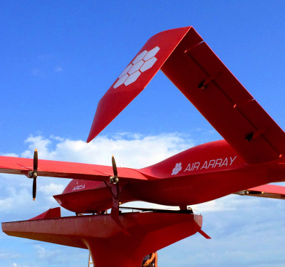
senseFly launched its newest solution at AUVSI XPONENTIAL in Chicago: the Solar 360 thermal drone.
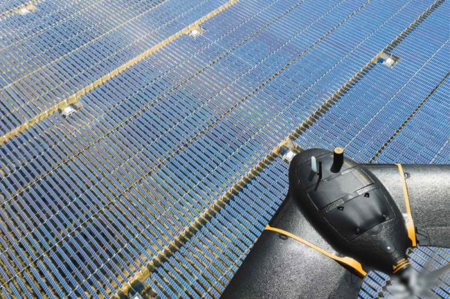
The UAS was developed in collaboration with software company Raptor Maps, and is designed to enable automatic assessment of solar plant performance at a sub-module level, according to a news release.
Solar 360 is a combination of senseFly’s eBee X fixed-wing drone technology, senseFly’s Duet T thermal mapping camera and Raptor Maps’ software. The fully automated solution is easy to integrate into solar management workflows and doesn’t require drone piloting skills or manual analysis of aerial solar farm data.
“At senseFly we are continually looking across the industry to identify new commercial partners with whom we can bring to market what our customers need, which is vertically-focused end-to-end solutions,” senseFly CEO Gilles Labossière said. “With Raptor Maps, we are collaborating with a true solar industry pioneer. Their software takes the guesswork out of solar farm inspection and, crucially, speeds up this process–from days down to hours. This efficiency, combined with the eBee X’s large coverage and reliability, ensures that farm owners and operators—or the drone service providers they employ—can inspect utility-scale solar farms more quickly, easily, and accurately than ever before.”
The solution provides accurate reports and minimizes staff time on site, which reduces labor costs. It facilitates more frequent inspections, making it possible to identify small problems before they lead to bigger issues.
senseFly Solar 360 is supplied with the customer’s choice of Data Pack, which are available in 50 MW, 100 MW and 200 MW variants, depending on the output capacity a customer expects to assess over the course of a year.
“Solar power is the largest source of new energy generation in the world,” Raptor Maps CEO Nikhil Vadhavkar said, according to the release. “This rapid growth has fueled demand for industry-specific solutions to allow solar customers to scale. Our enterprise-grade software has been deployed across six continents and 25 million solar panels to increase power production and reduce risk and maintenance cost across solar portfolios. We are proud to collaborate with senseFly, the industry leaders in commercial fixed-wing drones, to increase access to Raptor Maps while providing a comprehensive, end-to-end solution that scales with the solar industry.”