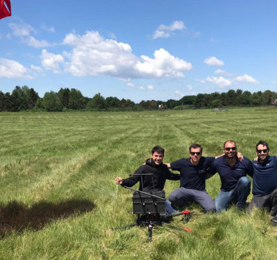
Applanix and the National Oceanic and Atmospheric Administration (NOAA) recently collaborated to provide critical information to first responders in the…
Aerial Photography
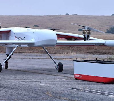
Long-range Cargo UAV Uses Inertial: Webinar Now Available On Demand
We take a close-up look at inertial measurement and inertial navigation in autonomous cargo transport. High standards for technology in…
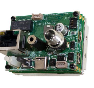
Compact Video Camera Encoder Designed for Remote UAV Operations
A new compact H.265 video encoder system capable of supporting 4K and HD resolutions, suited for UAV, surveillance and industrial…
New OEM Hardware/Software for Direct Georeferencing of Airborne Sensor Data
Applanix and Trimble showcase the Trimble AP+ Air OEM solution for Direct Georeferencing of airborne sensor data at the recent…
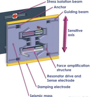
Silicon MEMS Accelerometer: the Latest UAV Navigation Disruptor
MEMS has moved into the high-end market, and the latest disruptor to take into account is silicon MEMS. That’s micro-electromechanical…
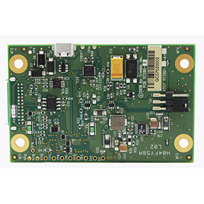
The High-Performance Accelerometer Brings Greater Stability to UAV Navigation and Control
A revolutionary accelerometer makes possible new levels of stability and control in UAV navigation, at lower cost for the inertial…
Satellite 2020 Covers GNSS, GPS, Geospatial Intelligence and More
The Satellite 2020 conference convenes March 9–12 in Washington, DC, with an industrial exhibition running March 10–12.
Trimble Launches UAS1 High-Precision GNSS Board
Trimble has introduced a compact, high-precision GNSS board designed for unmanned aerial systems (UAS): the Trimble UAS1.
100+ Presenters, Panelists on Roster for Commercial UAV Expo Americas Next Month in Las Vegas
More than 100 thought leaders in the commercial UAS industry will present at the 5th annual Commercial UAV Expo Americas taking…
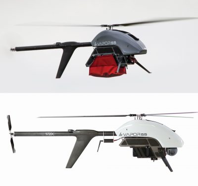
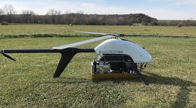
AeroVironment Unveils VAPOR All-Electric Helicopter UAS at DSEI
AeroVironment, Inc., a global provider of unmanned aircraft systems for both defense and commercial applications, announced the availability of its VAPOR…
Kansas Researcher to Measure Greenland Ice Sheets with Next-Generation Radar Flown Aboard an Unmanned Helicopter
A University of Kansas aerospace engineer has earned the National Science Foundation’s most prestigious award for young faculty to design, build and…
Applanix & Phase One Industrial Workshop on Airborne Mapping, Surveying Set for Nov. 13-14
Applanix and Phase One Industrial are pleased to invite you to the upcoming 2019 Workshop on Airborne Mapping and Surveying,…
Webinar: Learn How to Increase Productivity with Drone-Based LiDAR
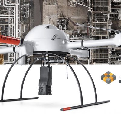
Rome, NY—Join Microdrones for their next webinar next week and learn how Morris P. Hebert Inc. (MPH) increased its corridor…
Triangle UAS Launches Real-Time Video Streaming System for Emergency Response, SAR, and Infrastructure Inspections
Triangle UAS LLC, a provider of innovative unmanned aircraft system services and technology, recently launched a drone-mounted real-time video streaming…
SureStar Releases Mini-LiDAR System with Applanix APX UAV
The Genius drone LiDAR system combines SureStar’s UAV-based LiDAR sensor with Applanix’ APX OEM module for a lightweight UAV mapping…
NUAIR Validates Drone Parachute for Flytrex at New York UAS Test Site
Second drone parachute validation by NUAIR and New York UAS Test Site, advancing drone package delivery industry and routine flights…
CSI Mapping Signs on as Microdrones Dealer to Integrate UAV Solutions for Forensic Mapping, Traffic Accident Reconstruction
Rome, N.Y.— Microdrones is entering the Crime Scene Investigation business by partnering with CSI Mapping, leaders in forensic mapping solutions…


