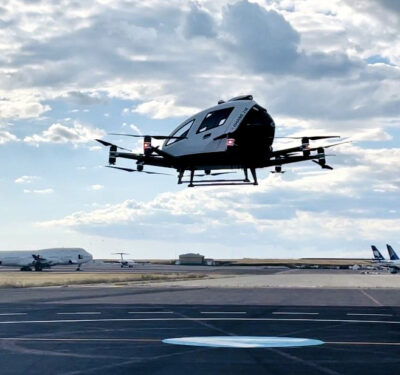
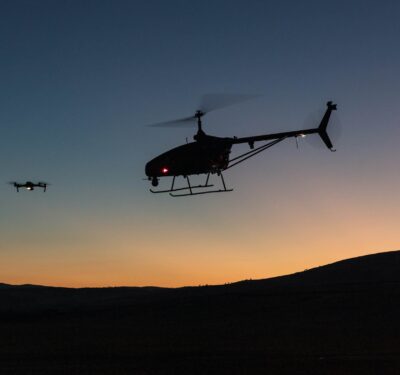
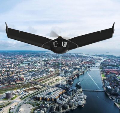
ANRA Technologies, a company specializing in uncrewed traffic management (UTM) and operational solutions, have announced a strategic partnership with Flyby Guys,…
Engineering & Design
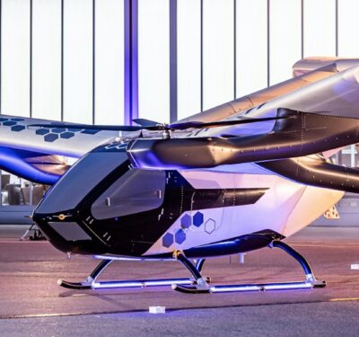
AAM: The Next Transportation Revolution
AAM continues to evolve, with early applications and an industry focus on innovation setting the stage for the next transportation…
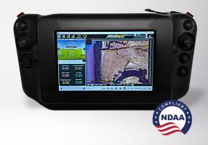
Mobilicom Introduces the Controller Pro, Aiding Tactical Mobile GCS
Mobilicom Limited, a company specializing in cybersecure solutions for drones and robotics, has announced the release of its new 8″…
GEODNET Announces Partnerships with Propeller and Wingbits
Propeller, a cloud-based worksite mapping and drone analytics company, today announced a partnership with GEODNET, to elevate its survey-grade mapping…
ResilienX AAM OptiX: System of Systems for AAM
Applying a systems thinking approach and leveraging deep experience in AAM airspace management solutions, ResilienX’s AAM OptiX platform links complex…
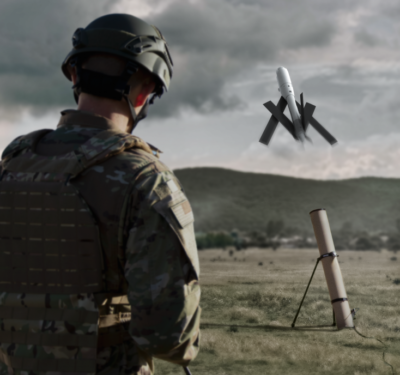
AV Secures $990M Contract to Supply U.S. Army with Switchblade Loitering Munitions
AeroVironment (AV) has been awarded a contract for the U.S. Army’s Directed Requirement (DR) for Lethal Unmanned Systems (LUS). The…
Five Good Questions: Aaron Nathan, Point One Navigation
Aaron Nathan is the founder and CEO of Point One Navigation, an entrepreneur and technical leader with over a decade of…
SAMVA eVTOL Flights at EGNOS-enabled Vertiport
The EU-funded SAMVA project recently completed a series of successful electric vertical take-off and landing (eVTOL) aircraft flights at the…
FAA Drone/AAM Symposium: Current and Future States of Aviation Overlap
This year’s theme, “Connected Skies, Connected Communities,” brought a focus on the importance of connectivity and integration in advanced aviation…
Three Companies, One Mission: Global UTM Deployment
Terra Drone Corporation, a Japanese drone and Advanced Air Mobility (AAM) company, with affiliated partners Unifly NV of Belgium and…
A2Z Drone Delivery Launches Portfolio of Drone Docks
A2Z Drone Delivery, Inc, developer of commercial drone delivery solutions, has launched a portfolio of autonomous drone docks and a companion…
UAVOS Tests Navigation with GNSS-denied, Computer Vision Capabilities
UAVOS partnered with its client to test UAVOS’ autopilot system using computer vision. UAVOS’ Engineering Service supported this testing with its…
AgEagle Aerial Systems Announces Delivery of eBee VISION Drones to French Army
AgEagle Aerial Systems Inc., a provider of full stack flight hardware, sensors and software for commercial and government use, announced…
MatrixSpace Awarded $1.9M AFWERX Contract
MatrixSpace has been selected for a $1.9M AFWERX Tactical Funding Increase (TACFI) Phase II Sequential contract to develop a distributed dual-mode mesh radar for base…
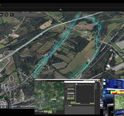
ANRA Showcases Drone Capabilities at New York Power Authority
ANRA Technologies successfully demonstrated its drone inspection capabilities at the New York Power Authority’s (NYPA) facility in White Plains, NY….
Replicator Initiative Maritime Domain Contract Awards Announced
Contracts have been awarded to a mix of mid-size, non-traditional and venture-backed companies. “Replicator is demonstrating from the top and…
British Armed Forces Run Trials of Stalker sUAS
Lockheed Martin’s Stalker VXE30 sUAS has been put through successful trials by the British Armed Forces at RNAS Predannack in…


