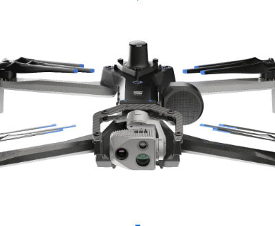
Skydio announced a strategic collaboration with Trimble creating an integrated workflow of accurate data capture, data visualization and data analytics addressing the needs of critical infrastructure industries in their surveying, mapping and inspections.
GPS

AeroVironment Introduces Puma VNS, a Visual-Based Navigation System That Enables GPS-Denied Navigation Across GPS-Contested Environments
System determines precise location of the aircraft during flight without relying on GPS
Kuker-Ranken (KR) Drone Division Announces Reseller/Vendor Partnership with Emlid GPS
For nearly 100 years, KR has been focused on effective, affordable solutions for customer’s problems. Emlid GPS offers a key…

UAV Jamming Resistance Boosted 400% in Flight Trials
InfiniDome Ltd., a GPS security company, demonstrated increased GNSS resiliency to hostile jamming by 400% in unmanned aircraft systems (UAS)…

Two-thousand Plus Simultaneous Drones Position Themselves with GPS and GLONASS technology
u-blox, a provider of positioning and wireless communication technologies, announced that it supplied the high-accuracy GNSS technology that made possible…
GPS Anti-jamming Analysis, Filter aboard Military UAVs Protects Them in Hostile Theater
Easy Aerial, a provider of autonomous drone-based monitoring solutions for commercial, government, and defense applications, announced it has integrated the…
FCC Unanimously Approves Ligado Plan; Questions, Opposition Remain
The five members of the Federal Communications Commission voted unanimously to approve a request by Ligado Networks to use satellite…

Autonomoose Grazes Winter Roads, Gathering Data for Driverless in Snow
A Lincoln MKZ hybrid carrying a full sensor suite roves the snowy roads of Ontario, recording bad-weather data to empower…
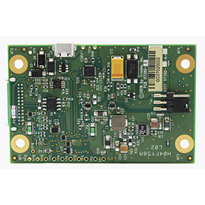
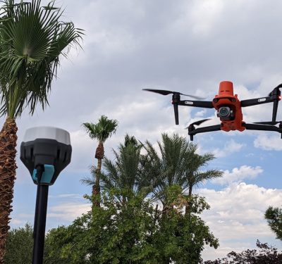
Trimble Launches UAS1 High-Precision GNSS Board
Trimble has introduced a compact, high-precision GNSS board designed for unmanned aerial systems (UAS): the Trimble UAS1.
