$82 billion in projected economic growth by 2025 attributable to UAS (unmanned aerial systems). Multiple programs to rationalize the airspace. Benefit to developers, users and the general public. Sounds good! But on the downside, a maze of certification, integration, interoperability, security, safety and privacy concerns needs often- simultaneous solutions.
AiRXOS, a division of GE Aviation Systems, the avionics part of GE Aviation, was founded in 2016. Its goal involves “rede- fining the unmanned traffic ecosystem” and integrating UAS into the national airspace. AiRXOS (the “X” is silent) provides software and professional services to “help define ar- chitecture, standards and implementation.”
By digitizing the airspace, AiRXOS can cut through costly complexities sur- rounding drone autonomy. It has partici- pated in the FAA’s IPP (Integrated Pilot Program) and UPP (UTM—Unmanned Aircraft System Traffic Management–Pilot Program) initiatives. It automates FAA Part 107 sUAS and LAANC (Low Altitude Authorization and Notification Capability) airspace data services to secure real-time authorization and further coordination. AiRXOS’ platform and avionics then integrates those approvals, waivers and exemptions into end-to-end flight support. An array of partners includes Measure, a leader in aerial intelligence, and technology and business service company Syniverse.
These collaborations, AiRXOS CEO Ken Stewart has said, can help “determine the UTM services and capabilities required for the new drone economy.”
Stewart, who has more than 25 year of leadership in the tech space, recently sat down virtually with Inside Unmanned Systems to discuss the evolution of next-generation unmanned traffic management and drone certification. Edited excerpts from that conversation follow.
ORIGINS
We created AiRXOS as a joint venture between GE Ventures and GE Aviation. If you look across GE corporate—a lot of big infrastructure, oil, gas power projects—you see when drones can certainly play a role. And so, the idea was, “Let’s create a compa- ny that can actually help some of the needs of the broader organization.”
In 2017, we went through ideation—“This is what we think this world is going to evolve to.” Then, in about January 2019, we were acquired by GE Aviation, so we’re under the avionics group. I would say that 90 percent of what we thought in 2017, we’re now start- ing to commercialize those capabilities.
It’s a combination of software and pro- fessional services, and what we’ve really focused on is bringing scale to this indus- try. A lot of times, when people go out and use drones for inspections, they have to fly within visual light of sight—one per- son, one drone, flying for 30 minutes or something along those lines. We’ve been really focused on having people go out to use larger drones to do inspection of big industry infrastructure, and we enable them through our professional services to get the waivers to allow them to fly beyond visual line of sight, or one pilot flying multiple drones.
Here’s an example: we have a partner we’ve enabled that used to average about 10 wells a day inspecting with drones. Using our waiver and exemption services and then our software, they’re now able to do about 40 wells a day. Similarly, the waiver gives the ability to have one pilot fly up to three drones inspecting solar. Instead of three pilots with one drone out there for 8 days, you have one guy out there for a couple of days doing that job. We’re pulling people out of those danger- ous and dirty jobs, and are still able to perform those functions, with more consistent outcomes.
UAM/UTM
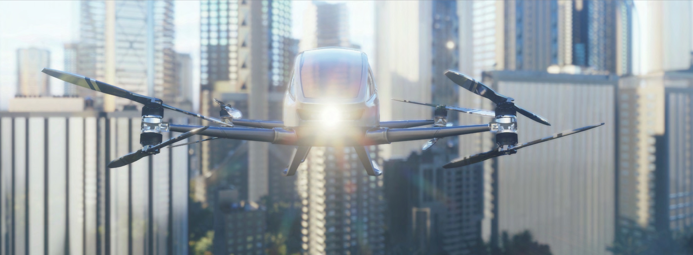
I really think about the world in terms of intermodal mobility. When you walk around cities today, you can have an Uber drop you off at a corner, you can jump on a bicycle, take that bicycle to the next location. Well, at some point, you’re going to take that bike or that Uber to an urban air mobility vertiport and you’re going to fly to some other location. The infrastructure doesn’t exist for that, but you’re now talking about having urban air mobility aircraft flying in and around cities at under 400 feet, intermixing with not only drones but also emergency helicopters. As we see this world evolving, the logistics of understand- ing which options you have is how you’re going to drove costs down.
For UAM [urban air mobility] to be suc- cessful, we’ve got a lot of work to do with UTM. Drones democratized the airspace. I think globally, there’s like 26,5000 aircraft and it’s already kind of at capacity. You’ve got, I think it’s 440,000 commercially reg- istered drones in the U.S., so you’ve got ex- ponentially more aircraft to manage that you don’t have eyes and ears on. Now that we have all these programs helping solve the problems, these things are going to lay down a foundation for urban air mobility.
UTM is all digitized. You can imagine being a pilot for a drone—what you really need is a virtual reality helmet that allows you to look left and right, at least concep- tually. But to be able to get that kind of sensing, it’s going to take some time. I’ll give you an example. The major wireless operators will tell you they’ve got nation- wide coverage but we all know calls drop. If you’re going to put radar-type systems across the whole U.S., there’s no economics that will support that. So I think that when you hear Agility Prime talk about “we need a moonshot”—it’s “what’s the technology that’s going to allow us to put very cost-ef- fective sensing out there to be able to detect and avoid not just cooperative aircraft but non-cooperative aircraft.”
What our system does is performance monitoring if they need LAANC to give them controlled airspace. From the time they plan that operation, from the time they start that drone, to when they turn that drone off, they now have a complete capture of every event of that transaction. And they can see in real time through a network operations center. We configure systems such that our customers have integrated local sensors—think about small, portable, cost- effective radars and sensor systems, where they can pull in ADS-B or even radar systems that can sense aircraft coming into the areas where they are operating.
PROJECTS
Some of the programs that we’ve worked on with the FAA, with NASA, Technology Capability Level [TCL] 3—safe spacing— TCL4—higher density urban areas—these are the programs where you interconnect USS [UAS Service Suppliers] providers and you exchange that information. We’re a LAANC provider; there are 13 certified with seven actually proving the service. Testing out all that peering and data exchange—that’s currently underway, and we’re getting closer and closer to a commercial state. It will still have to go through policy and regulatory certification, but we’re rapidly moving toward the capability being scalable.
With John’s Hopkins Applied Physics Lab, with NASA, we’re already testing the drone’s capability to carry multiple sensors and be able to detect anything else in its environment. That’s still really a challenge because most of the drone you fly today, anything you put on their aircraft takes away from the battery, from your flight time. So we’re testing on fixed-wing VTOL, twin rotor helicopters, on various aircraft to see what we can see.
Health care will be really critical, and that would have been the case regardless of COVID. We did, along with the University of Maryland Hospital, a delivery of a human kidney to a patient waiting for a trans- plant. A very high percentage of organs never make it from the donor to the recipient. We were trying to show that in a major metropolitan area like Washington, D.C., 7 miles can take 45 minutes. We went three- and-a-half miles at 1 o’clock in the morn- ing—we could have done it in the middle of the day—and it took five minutes. Far more efficient than putting it in a car with a courier, and think about the emissions.
INNOVATION CENTERS
We’ve been in at least a dozen programs. The challenge we had is that every time somebody wanted to see how something worked, we were dragging out radar systems, ADS-B, portable laptops, drones and creating this mobile UTM infrastructure to demonstrate these capabilities. It is extremely cost-prohibitive.
The idea behind the innovation centers— [in Boston and at the GE Aviation offices in Pinellas Park, Florida] is to get people to a “destination” where we can demonstrate all the capabilities in one location center. People who want to partner with us can come in and say, “Here’s where we fit into this equation, here’s where we have a gap.”
GE corporate moved in December. We got the center set up in February, and then COVID came. But we’ve really moved to more of a digital webinar format, lever- aging the capabilities out of our center. I truly believe that coming out of COVID, we’re going to have a lot more automation, a lot more robotic types of applications. It’s how we’re going to keep social distancing. It’s how we’re going to scale. People who told you six months ago they didn’t want a drone flying over their house, if you told them you could deliver their food or PPE equipment with the drone, they’d be more than happy to take it.
MOVING FORWARD
I think the beauty of what the FAA and NASA have created here in the U.S. is this federated model. When you have companies like ourselves, we focus on things like critical infrastructure and public safety. Another company will focus on agriculture, and a third might focus on infrastructure. If you can get each one of those verticals up and running and then federate them, then you essentially created that UTM. And you haven’t had to spend money at the state or national level; you’ve been able to have private industry come in and actually create that infrastructure on your behalf. We’re now starting to see that get adopted; we recently deployed our platforms in Australia, and in Australia there are at least four different providers.
I think the biggest challenge we still have—I don’t think it’s the technology.
There’s clearly some regulatory things but they’re getting solved. I really think there’s still a big challenge in public acceptance. Do you want a drone flying over your house delivering a burrito? Probably not. If that drone is delivering a defibrillator, you’re probably like, “Fantastic! I might need that one day.”
We work closely with public safety— we’re trying to essentially give them the “easy” button. We did a lot of work in North Dakota in flood season, and we’ve got tornado season coming, so we’ll see a lot of activity there. You’re not going to replace helicopters, but you now have an additional tool that’s much more cost-effective and you can deploy much more rapidly. So we think we’ll see a lot of growth in that space, and especially in infrastructure. The economics are there. The urgency is there. The airspace could be digitized fairly easily.